26 Moorhouse Avenue, Addington
15 reports on record since June 2016 · 14 with photographs. The street’s heaviest record is 38 Moorhouse Avenue — 32 reports on file. Indicative rating valuation and school zones, hazards, bin day and what stood here before.
What gets reported here
- Graffiti — 6
- Roading/Streets — 3
- Water Supply — 2
- Graffiti somewhere else — 2
- Street Cleaning — 1
- Flooding — 1
Photographed here 14 on record


Reported here
 Street Cleaning —
 Broken glass and broken ceramic tiles in the bike lane on the westbound side of Moorhouse Ave from approx 24 to 22 Moorhouse Ave
 Graffiti somewhere else —
  Graffiti somewhere else —
 All down the Davis oglive alleyway
 Graffiti —
 - Graffiti —
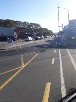 Roading/Streets —
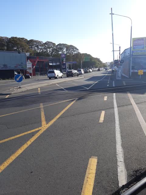
 if you look carefully at this photo you'll see the traffic backlog this central island causes. it is the main reason traffic is backed up ri
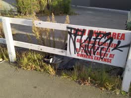 Graffiti —
 Flooding —
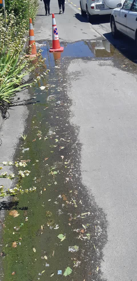
this has been leaking for over a year!! as shown by the green dried algae. I walk past/around it daily as do my coworkers
Graffiti —
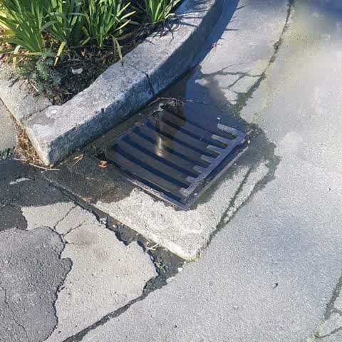
Water Supply —
There are several leaks in this area and the stormwater is starting to overflow.
Graffiti —
Graffiti —
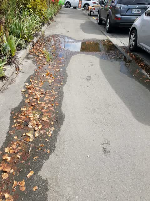
Water Supply —
This puddle has been here for weeks. Maybe related to a leaky water pipe
Roading/Streets —
Fire hydrant needs repainting with a circle also yellow lines need repainting as a high complaint area. Urgent
Roading/Streets —
Traffic counter tube has come loose and wound across the footpath. No data being collected here.
Also reported on Moorhouse Avenue
- 38 Moorhouse Avenue — 32 reports
- 51 Moorhouse Avenue — 29 reports
- 144 Moorhouse Avenue — 24 reports
- 28 Moorhouse Avenue — 15 reports
- 30 Moorhouse Avenue — 14 reports
- 95 Moorhouse Avenue — 12 reports
- 98 Moorhouse Avenue — 11 reports
- 81 Moorhouse Avenue — 10 reports
The street’s crash record
NZTA’s record names Moorhouse Avenue in 134 crashes that hurt somebody since 2006 — 19 seriously hurt, nobody killed.
The green nearby
- Hagley Park South — 80 m to the edge · Sports ground · 71 ha
- Mountfort Park — 321 m to the edge · Botanic
- Cornelius O'connor Reserve — 339 m to the edge
Parks within half a kilometre, measured to the boundary — the council’s open data.
On the doorstep
- Empire Chicken Lincoln Road — 50 m away · Restaurants
- Dim 7th Jazz Bar & Whiskey Bar Restaurant — 55 m away · Restaurants
- Won Pocha Korean Restaurant — 62 m away · Restaurants
- MetroMart — 63 m away · Dairies & convenience
Businesses within four hundred metres, measured at the pin — OpenStreetMap and the council directories.
The bus nearby
- Lincoln Rd near Lincoln Ln — 109 m away · route 7
- Lincoln Rd near Hazeldean Rd — 148 m away · route 7
The closest Metro stops, within four hundred and fifty metres.
The tracks through here
- Walk and bike track through Addington — 68 m to the line · walk · bike
- Walk and bike track through Addington — 80 m to the line · walk · bike
- Walk and bike track through Addington — 84 m to the line · walk · bike
- Walk and bike track through Addington — 173 m to the line · walk · bike
- Walk and bike track through Addington — 174 m to the line · walk · bike
Tracks whose line passes within half a kilometre, measured to the line itself — the council’s open data.
The named ground
Named water within 500 m of this address, measured to the line or the edge; Named places within 1.5 km of this address; the council’s own structure register — bridges, boardwalks and steps standing nearby — the open map’s record.
Renting nearby
new bonds in Addington ran about $502 a week — $48 below the city median of $550 — the suburb page keeps the rent record →.
The civic layer
This ground votes in Spreydon ward — the Spreydon-Cashmere-Heathcote community board. Ward lines don’t always follow suburb lines; this one is measured at the pin, not the suburb’s centre.
What stood on this ground → · On the map → · From the air — the Crown’s aerials back to 1936; search the address on RetroLens →
Questions, answered briefly
15 council reports on record since June 2016 — most often graffiti (6), roading/streets (3), water supply (2).
Addington, Christchurch — on Moorhouse Avenue.
Nothing on the heritage register at this exact spot — the record around this ground →
Hagley Park South — 80 m to its edge, 71 ha.