The rebuild’s receipts
When the quakes broke the city underground, SCIRT, the Stronger Christchurch Infrastructure Rebuild Team, put the pipes, drains and roads back, and photographed as it worked. 138,797 of those photographs are on the public record, every one filed against the ground it was taken on: the manhole being benched, the inlet before the road closed over it, the trench while it was still open.
Where the cameras went
Every twelfth photograph drawn, the record is 138,797 deep, and the dots thicken where the work ran hardest: the wastewater in ink, the stormwater in teal, the roading in amber, the unspecified filings grey.
The years of the work
The archive’s own dates, the bulk is the 2011–2014 rebuild; the earlier frames are asset photographs filed into the same drawer.
The networks, and what they photographed
By network
By the asset in frame
The record in its own words
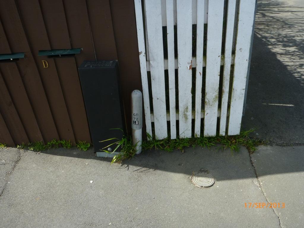 Street Asset · 2013-09
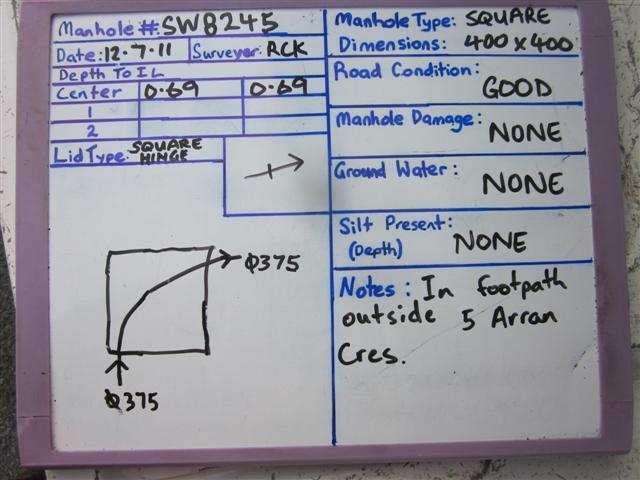 Access · 2011-07
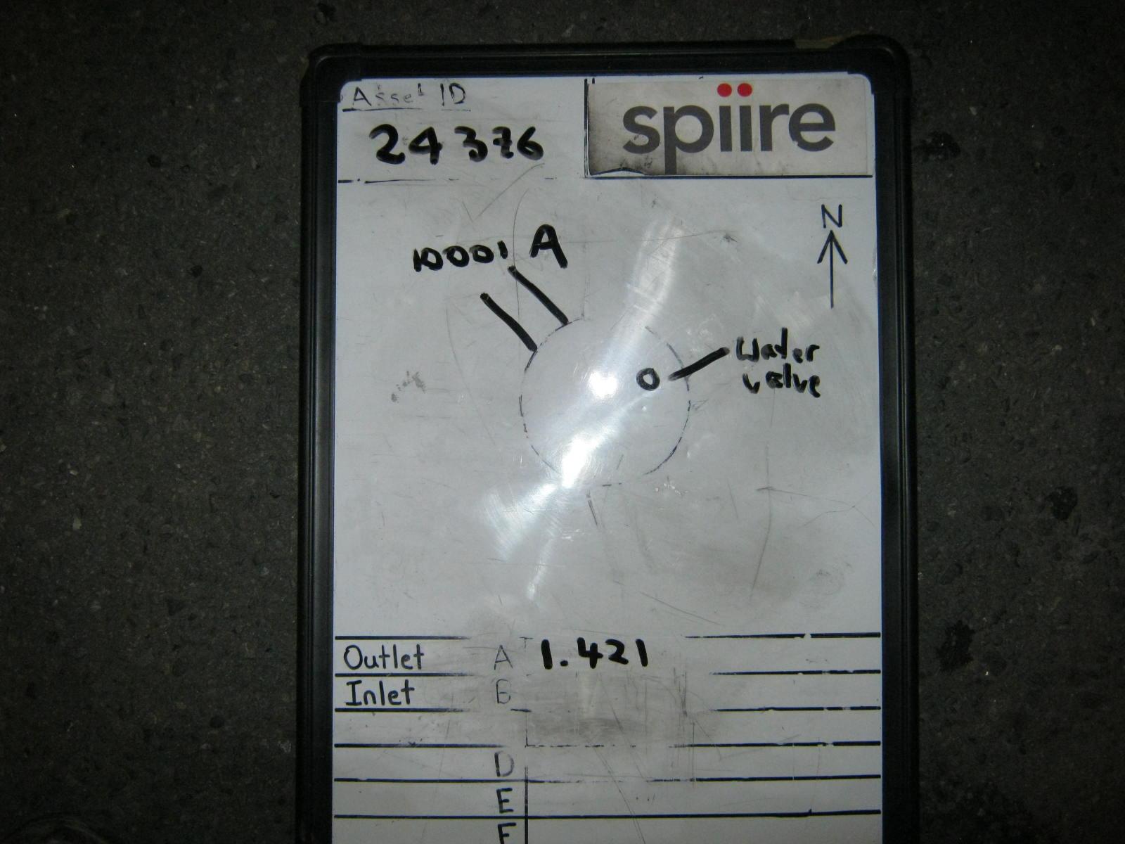 Access · 2013-02
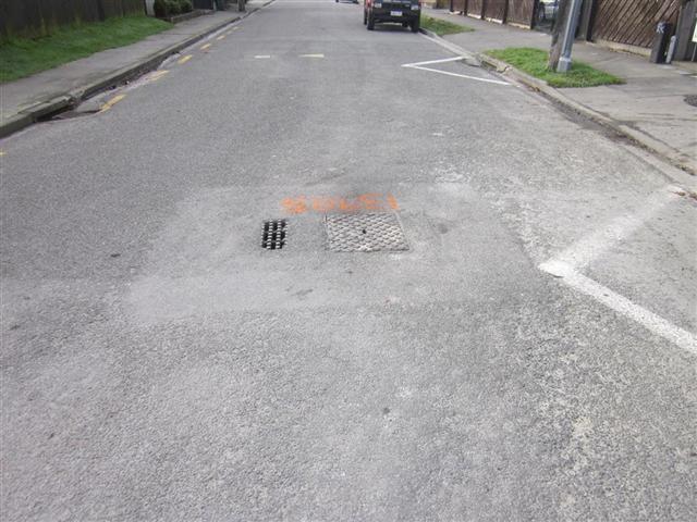 Access · 2011-06
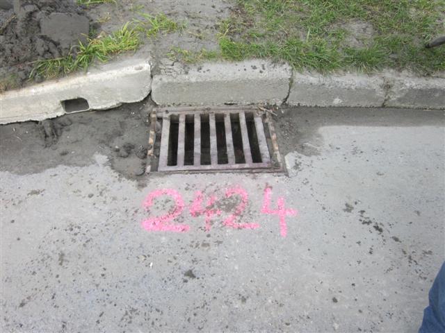 Inlet · 2011-08
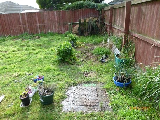 Access · 2012-08
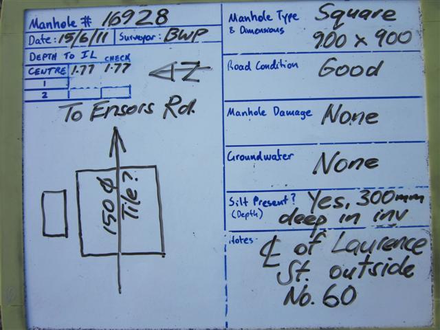 Access · 2011-06
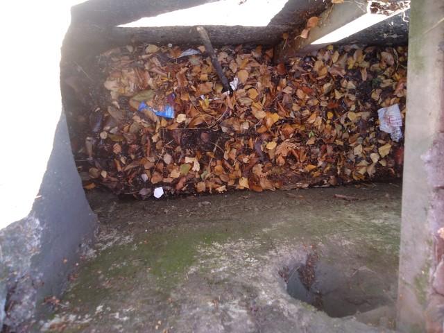 Inlet · 2013-03
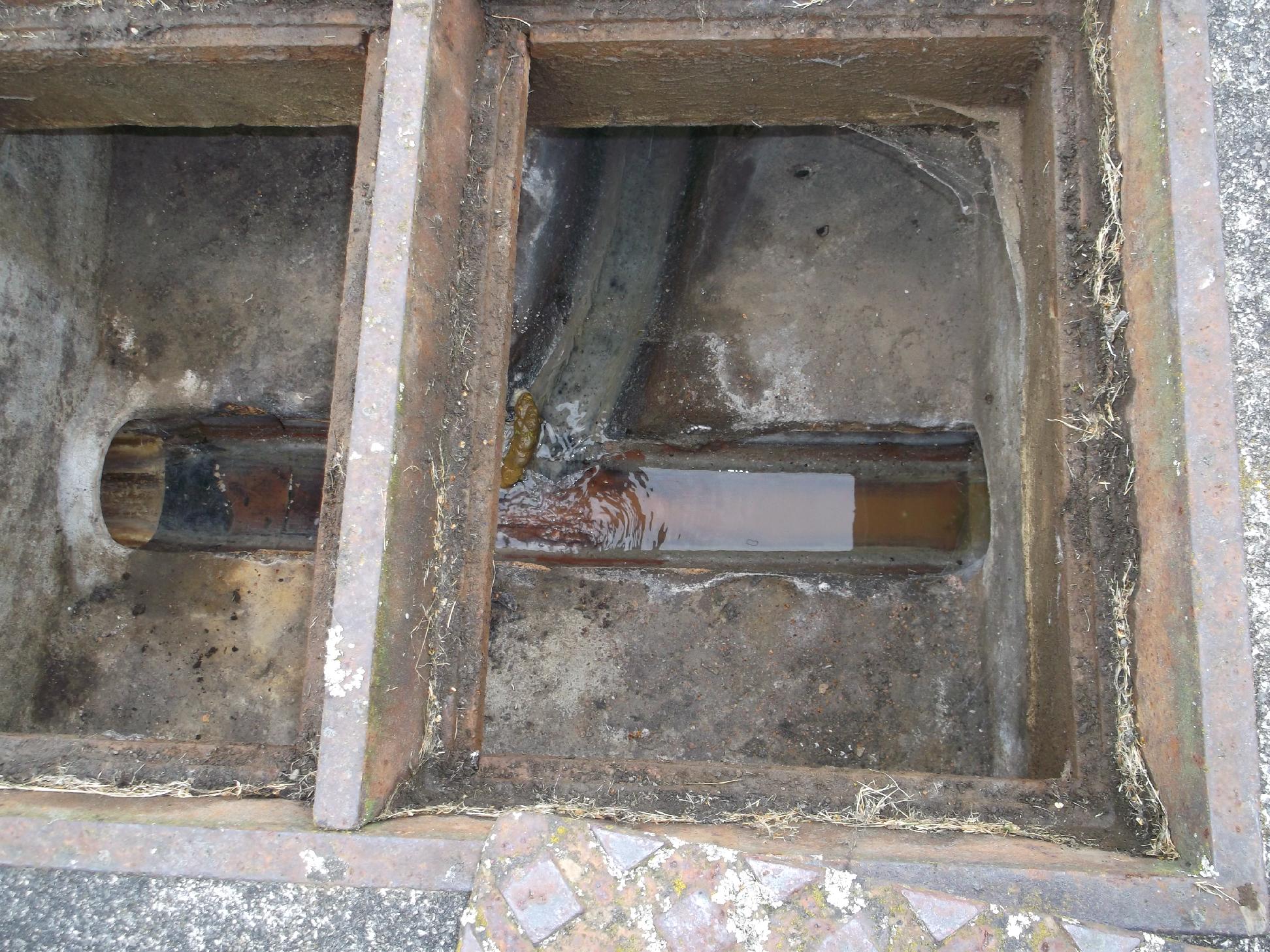 Access · 2013-03
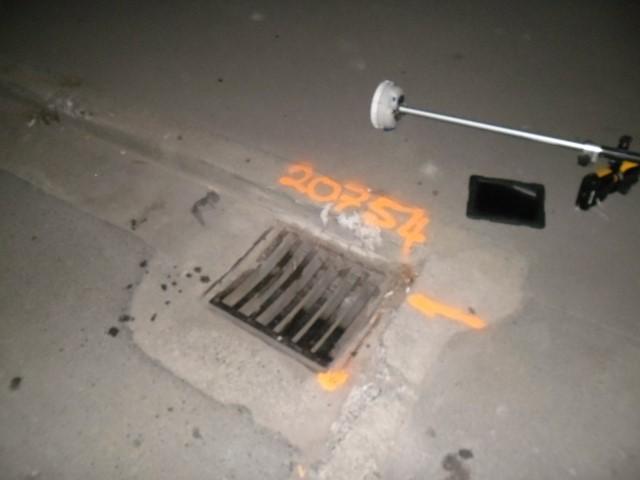 Inlet · 2013-02
A strided handful of the record, the frames open on the council’s image host. A few of the earliest links have rotted; the archive keeps the filing anyway.
The suburbs the cameras worked
An exact join, every photograph whose ground falls inside the outline counts, and the year’s span is the suburb’s own.
- Christchurch Central City9,501 photographs, 2007–2017, stormwater mostly
- Sydenham7,352 photographs, 2009–2017, stormwater mostly
- Woolston5,354 photographs, 2007–2017, wastewater mostly
- Mount Pleasant5,077 photographs, 2010–2016, stormwater mostly
- Saint Albans4,413 photographs, 2009–2017, roading mostly
- Cashmere4,305 photographs, 2010–2016, wastewater mostly
- New Brighton4,196 photographs, 2011–2016, stormwater mostly
- Waltham4,046 photographs, 2009–2016, stormwater mostly
- Parklands3,945 photographs, 2011–2017, wastewater mostly
- Richmond3,386 photographs, 2011–2017, stormwater mostly
Questions, answered briefly
The rebuild’s receipts, 138,797 photographs filed by SCIRT, the Stronger Christchurch Infrastructure Rebuild Team, as it put the city’s pipes, drains and roads back over 2000–2017. Every frame is geolocated to the ground it documents: the manhole being benched, the pipe being laid, the trench before it closed.
The Stronger Christchurch Infrastructure Rebuild Team, the alliance of the council, the government’s rebuild authority, and five contractors formed after the February 2011 earthquake to rebuild the horizontal infrastructure: the wastewater, stormwater and roading the shaking broke. It photographed as it worked, and the photographs are this record.
The works, mostly, a wastewater access chamber halfway through its benching, a stormwater inlet before the road closed over it, the inside of a pipe the quakes had crushed. Engineering records rather than vistas: the ground opened, the damage seen, the repair made, the trench closed. Each one names its network, its asset and its date.
Ask the ground itself, /before answers a point with the nearest frame in the record and how many times the cameras passed inside a short walk of it. Suburb pages carry their own count. The photographs open on the council’s image host; a handful of the earliest links have rotted, and the record says so.
Mostly, yes for the pipes, a photograph of a relaid main is the pipe that still sits under the street. But the record is a work log, not a survey: it shows what the rebuild did, not whether something newer has replaced it. The plan’s word on what may stand there is /zones.
Also in the earthquakes
- The sequenceevery shake since 2010, counted
- Earthquakes, livethe ones that just landed
- The faultsthe traces under the plains
- Liquefactionthe ground that moved
- The land gradesTC1, TC2, TC3
- The red zonethe land the Crown wrote off
- The earthquakes, explainedwhat happened and why
- Liquefaction, explainedwhy the east failed
- The rebuild, explainedthe machinery that put it back
The record behind this
Christchurch City Council’s open data, the SCIRT photograph archive, filed under the WasteWater service though it documents every network. The photographs are engineering records the rebuild filed as it worked, a work log, not a survey of what stands today. The earthquakes themselves are at the explainer, the machinery SCIRT belonged to at the rebuild explainer; the plan’s word on what may stand now is /zones.
This page as markdown: /rebuild.md · the record as data: /rebuild.json · /rebuild.geojson.