29 Cardigan Bay Place, Addington
13 reports on record since July 2019 · 12 with photographs. The most-reported address on Cardigan Bay Place. Indicative rating valuation and school zones, hazards, bin day and what stood here before.
What gets reported here
- Graffiti — 5
- Graffiti on a fence, building or structure — 3
- Rubbish/Recycling — 1
- Pavement - General — 1
- Overgrown Vegetation — 1
- General Request — 1
Photographed here 12 on record




Reported here
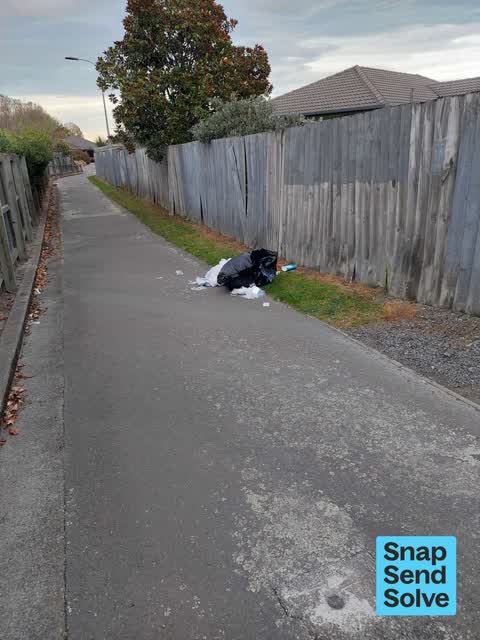
 Dumped Rubbish —
 rubbish dumped
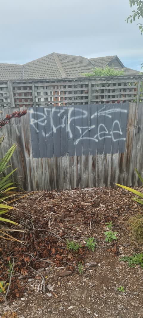
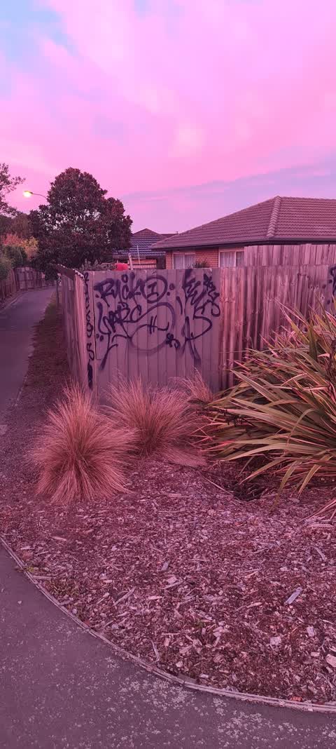
 Graffiti on a fence, building or structure —
 Graffiti on light pole
 Graffiti on a fence, building or structure —
  General Request —
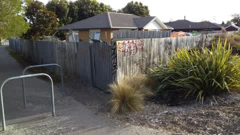
 Fence falling apart. Pailings falling on ground I can rebuild this for you. Contact me. Tracey-Lee Maynard
 Overgrown Vegetation —
 Sparce planting and weeds. Needs trees like the opposite side.
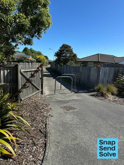
 Pavement - General —
 Can the cycling barrier be removed? This is adjacent to a literal major cycling route.
 Graffiti on a fence, building or structure —
 - Graffiti —
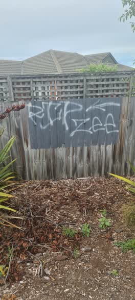
 Graffiti —
 On fence
 Graffiti —
 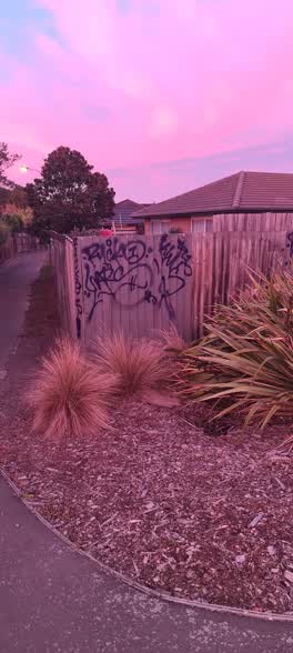 Graffiti —
 Graffiti —
Rubbish/Recycling —
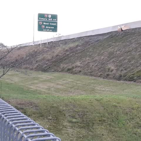
A box in photo and large mattress dumped from motorway?
Also reported on Cardigan Bay Place
- 5 Cardigan Bay Place — 10 reports
- 17 Cardigan Bay Place — 10 reports
- 31 Cardigan Bay Place — 9 reports
- 15 Cardigan Bay Place — 9 reports
- 39 Cardigan Bay Place — 8 reports
- 21 Cardigan Bay Place — 8 reports
- 2 Cardigan Bay Place — 8 reports
- 7 Cardigan Bay Place — 6 reports
The street’s crash record
NZTA’s record names Cardigan Bay Place in 1 crash that hurt somebody since 2006 — 0 seriously hurt, nobody killed.
The green nearby
- Cardigan Bay Reserve — 92 m to the edge
- Lincoln Park — 218 m to the edge
- Leith Reserve — 318 m to the edge
- Torrens Reserve — 478 m to the edge
- Parade Court Reserve — 481 m to the edge
Parks within half a kilometre, measured to the boundary — the council’s open data.
On the doorstep
- Canterbury Court Motel — 161 m away · Motels
- Addington Stadium Motel — 242 m away · Motels
- Wolfbrook Arena — 246 m away · Venues & events
- Lot 55 - Horncastle Arena — 277 m away · Cafés
Businesses within four hundred metres, measured at the pin — OpenStreetMap and the council directories.
The bus nearby
The closest Metro stops, within four hundred and fifty metres.
The tracks through here
- Walk and bike track through Addington — 125 m to the line · walk · bike
- Walk and bike track through Addington — 257 m to the line · walk · bike
- Walk and bike track through Addington — 479 m to the line · walk · bike
- Walk and bike track through Addington — 487 m to the line · walk · bike
Tracks whose line passes within half a kilometre, measured to the line itself — the council’s open data.
The named ground
Named places within 1.5 km of this address; the council’s own structure register — bridges, boardwalks and steps standing nearby — the open map’s record.
Renting nearby
new bonds in Addington ran about $502 a week — $48 below the city median of $550 — the suburb page keeps the rent record →.
The civic layer
This ground votes in Spreydon ward — the Spreydon-Cashmere-Heathcote community board. Ward lines don’t always follow suburb lines; this one is measured at the pin, not the suburb’s centre.
What stood on this ground → · On the map → · From the air — the Crown’s aerials back to 1936; search the address on RetroLens →
Questions, answered briefly
13 council reports on record since July 2019 — most often graffiti (5), graffiti on a fence, building or structure (3), rubbish/recycling (1).
Addington, Christchurch — on Cardigan Bay Place.
Nothing on the heritage register at this exact spot — the record around this ground →
Cardigan Bay Reserve — 92 m to its edge.