359B 359B, Addington
15 reports on record since January 2016 · 15 with photographs. Indicative rating valuation and school zones, hazards, bin day and what stood here before.
What gets reported here
- Graffiti — 13
- Roading/Streets — 2
Photographed here 15 on record
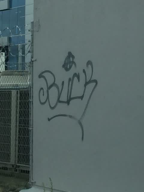
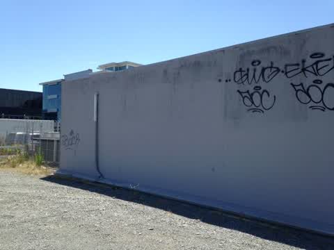
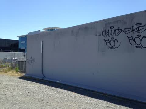
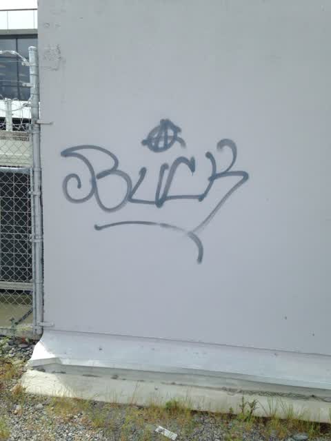
Reported here
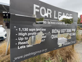 Graffiti —
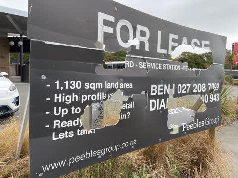
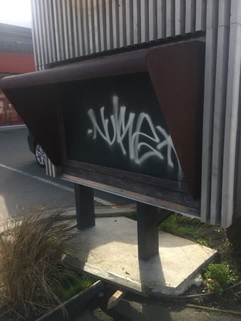
 Vandalised advertising sign by 359 Lincoln Road facing the footpath needs removal or repair. Ask owner Peebles Group to do something about t
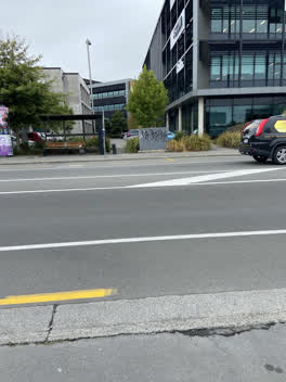 Graffiti —
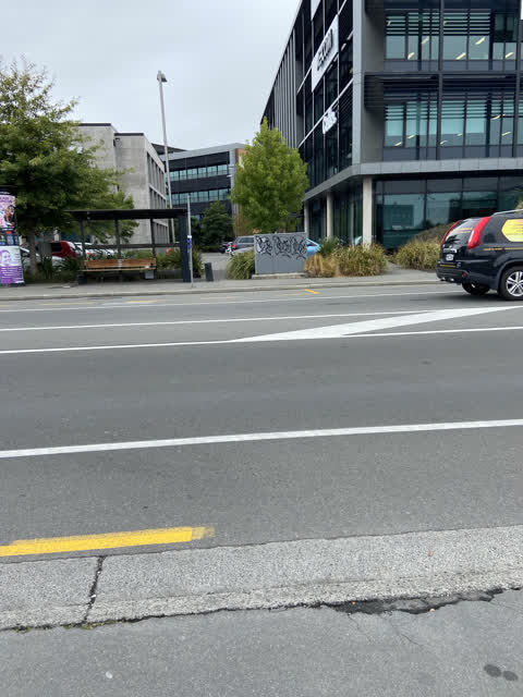
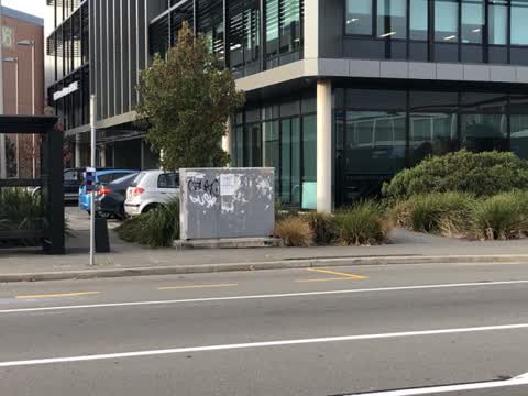
 Badly black tagged Vodafone (?) utility cabinet opposite 359 Lincoln Road. For the umpteenth time, I recommend the owner commissions street
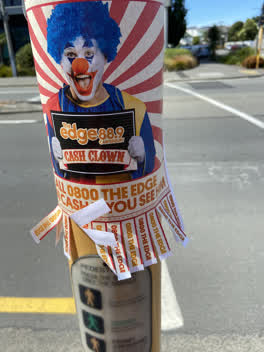 Graffiti —
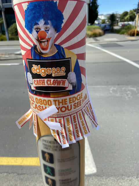
 The Edge is sticking advertising posters on pedestrians traffic signal by coyote Lincoln Road and Harman St. Tell them to advertise elsewher
Graffiti —
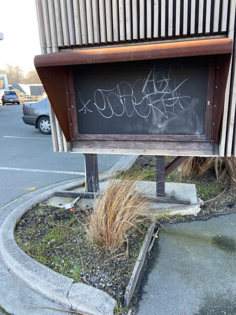
White paint tag on black notice board facing the footpath outside former Retro cafe
Graffiti —
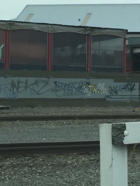
Graffiti on sign for cafe bar kitchen
Graffiti —
Graffiti —
Graffiti —
Graffiti —
Graffiti —
This is a duplicate report. The original report was sent on Jan 03, 2019.
Graffiti —
Graffiti —
Roading/Streets —
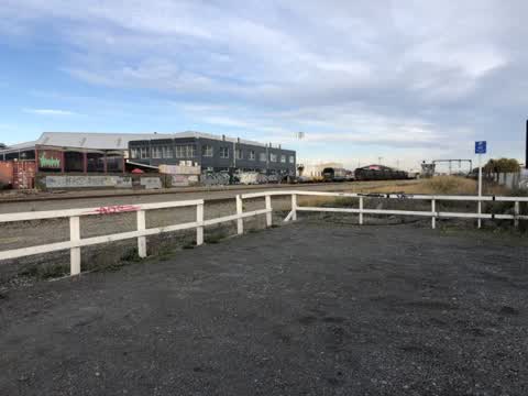
Open pit just in rail corridor by road crossing. Health and safety issue
Roading/Streets —
The street sign for hazeldean road is in the bushes between the railway line and cargo bar
Graffiti —
Yellow paint "FOKEN" (?) on inside bus shelter painted dark green
The street it is on
The green nearby
- Hagley Park South — 175 m to the edge · Sports ground · 71 ha
- Mountfort Park — 215 m to the edge · Botanic
- Cornelius O'connor Reserve — 303 m to the edge
Parks within half a kilometre, measured to the boundary — the council’s open data.
On the doorstep
- Empire Chicken — 17 m away · Fast food
- Subway Addington — 57 m away · Fast food
- N'Joy Cafe — 76 m away · Restaurants
- Cheeky Sparrow - Addington — 81 m away · Cafés
Businesses within four hundred metres, measured at the pin — OpenStreetMap and the council directories.
The bus nearby
- Lincoln Rd near Hazeldean Rd — 40 m away · route 7
- Lincoln Rd near Dickens St — 138 m away · route 7, route 120
The closest Metro stops, within four hundred and fifty metres.
The tracks through here
- Walk and bike track through Addington — 21 m to the line · walk · bike
- Walk and bike track through Addington — 35 m to the line · walk · bike
- Walk and bike track through Addington — 186 m to the line · walk · bike
- Walk and bike track through Addington — 206 m to the line · walk · bike
- Walk and bike track through Addington — 246 m to the line · walk · bike
Tracks whose line passes within half a kilometre, measured to the line itself — the council’s open data.
The named ground
Named water within 500 m of this address, measured to the line or the edge; Named places within 1.5 km of this address; the council’s own structure register — bridges, boardwalks and steps standing nearby — the open map’s record.
The remembered names nearby
- Charles Dickens (1812 - 1870) Was One of the Most Popular — 220 m away ·
Charles Dickens (1812 - 1870) was one of the most popular English novelists of the Victori
· 2013
Inscribed plaques within two hundred and fifty metres — the register’s pins, not surveyed spots. The whole roll is at /plaques.
Renting nearby
new bonds in Addington ran about $502 a week — $48 below the city median of $550 — the suburb page keeps the rent record →.
The civic layer
This ground votes in Spreydon ward — the Spreydon-Cashmere-Heathcote community board. Ward lines don’t always follow suburb lines; this one is measured at the pin, not the suburb’s centre.
What stood on this ground → · On the map → · From the air — the Crown’s aerials back to 1936; search the address on RetroLens →
Questions, answered briefly
15 council reports on record since January 2016 — most often graffiti (13), roading/streets (2).
Addington, Christchurch — on B.
Nothing on the heritage register at this exact spot — the record around this ground →
Hagley Park South — 175 m to its edge, 71 ha.