47 Wrights Road, Addington
19 reports on record since November 2017 · 16 with photographs. The street’s heaviest record is 63 Wrights Road — 73 reports on file. Indicative rating valuation and school zones, hazards, bin day and what stood here before.
What gets reported here
Photographed here 16 on record




Reported here
 Dumped Rubbish —
 rubbish dumped
 Dumped Rubbish —
 mattresses etc dumped
 Dumped Rubbish —
 TV monitor, poles, bag, general detritus
 Graffiti on a fence, building or structure —
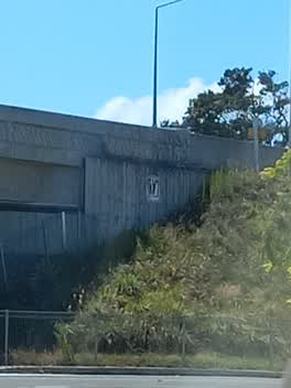
 Various tags under bridge
 Hazard — vehicle —
 Car parking on foot path
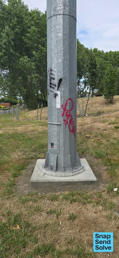
 Graffiti on a traffic light pole or cabinet, or wa —
  Graffiti on a fence, building or structure —
  Graffiti on a fence, building or structure —
  Graffiti on a fence, building or structure —
 Graffiti on cell tower
 Graffiti on a fence, building or structure —
  Graffiti on a cabinet, pole or railway asset —
 At overhead bridge
 Graffiti —
 Tags on cellphone tower. I am not sure which company owns the tower.
 Graffiti —
 On cellphone pylon. Cnr Wrights rd. And Hillmorton st
- Graffiti —
- Graffiti —
- Graffiti —
 Graffiti —
 Roading/Streets —
Cycleway lights not operating
Roading/Streets —
For anyone riding this cycleway for the first time in a SW direction the approach to Wright's Road is very confusing. There is no signage
Also reported on Wrights Road
- 63 Wrights Road — 73 reports
- 45 Wrights Road — 27 reports
- 34 Wrights Road — 19 reports
- 106 Wrights Road — 16 reports
- 54 Wrights Road — 14 reports
- 55 Wrights Road — 13 reports
- 94 Wrights Road — 11 reports
- 67 Wrights Road — 11 reports
The street’s crash record
NZTA’s record names Wrights Road in 46 crashes that hurt somebody since 2006 — 1 person killed, 6 seriously hurt.
The green nearby
- Torrens Reserve — 133 m to the edge
- Marylands Reserve — 243 m to the edge · Sports ground · 6 ha
- Linden Grove — 260 m to the edge
- Cardigan Bay Reserve — 319 m to the edge
- Lincoln Park — 428 m to the edge
Parks within half a kilometre, measured to the boundary — the council’s open data.
On the doorstep
- schieder electrical — 226 m away · Electronics
- The Event Collective — 265 m away · Caterers
- Youth Specialty Services — 290 m away · Hospital
- Wolfbrook Arena — 295 m away · Venues & events
Businesses within four hundred metres, measured at the pin — OpenStreetMap and the council directories.
The bus nearby
The closest Metro stops, within four hundred and fifty metres.
The tracks through here
- Walk and bike track through Addington — 137 m to the line · walk · bike
- Walk and bike track through Addington — 408 m to the line · walk · bike
- Walk and bike track through Addington — 417 m to the line · walk · bike
- Walk and bike track through Addington — 427 m to the line · walk · bike
- Walk and bike track through Addington — 485 m to the line · walk · bike
Tracks whose line passes within half a kilometre, measured to the line itself — the council’s open data.
Renting nearby
new bonds in Addington ran about $502 a week — $48 below the city median of $550 — the suburb page keeps the rent record →.
The civic layer
This ground votes in Spreydon ward — the Spreydon-Cashmere-Heathcote community board. Ward lines don’t always follow suburb lines; this one is measured at the pin, not the suburb’s centre.
What stood on this ground → · On the map → · From the air — the Crown’s aerials back to 1936; search the address on RetroLens →
Questions, answered briefly
19 council reports on record since November 2017 — most often graffiti (6), graffiti on a fence, building or structure (5), dumped rubbish (3).
Addington, Christchurch — on Wrights Road.
Nothing on the heritage register at this exact spot — the record around this ground →
Torrens Reserve — 133 m to its edge.