56 Disraeli Street, Addington
12 reports on record since June 2021 · 8 with photographs. The street’s heaviest record is 88 Disraeli Street — 24 reports on file. Indicative rating valuation and school zones, hazards, bin day and what stood here before.
What gets reported here
Photographed here 8 on record


Reported here
 Graffiti on a fence, building or structure —
 Graffiti on wall
 Graffiti on a cabinet, pole or railway asset —
 Badly broken conduit cover on FB630 wooden pole at the corner of Disraeli and Braddon Streets.
 Graffiti on a cabinet, pole or railway asset —
 Badly broken conduit cover on FB630 wooden pole by 56 Disraeli Street corner.
 Graffiti —
 Badly broken plastic conduit cover on anonymous wooden pole by the corner of Disraeli and Braddon Streets.
 Graffiti —
 Blue paint tag on fence pole facing the footpath on Disraeli Street at the corner of Braddon Street.
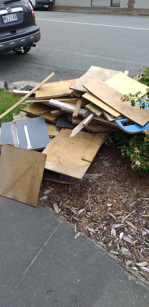
 Dumped Rubbish —
 Wooden pallets
- Vandalism - General —
- Pothole —
- Graffiti —
- Graffiti —
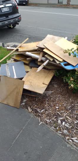 Rubbish/Recycling —
 This pile is growing since it started.
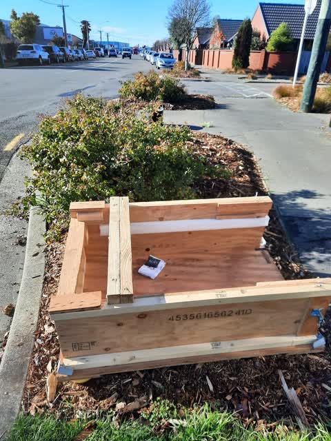
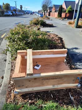 Rubbish/Recycling —
 dumped create in garden
Also reported on Disraeli Street
- 88 Disraeli Street — 24 reports
- 72 Disraeli Street — 23 reports
- 59 Disraeli Street — 18 reports
- 10 Disraeli Street — 17 reports
- 71 Disraeli Street — 15 reports
- 61 Disraeli Street — 10 reports
- 76 Disraeli Street — 8 reports
- 57 Disraeli Street — 8 reports
The street’s crash record
NZTA’s record names Disraeli Street in 18 crashes that hurt somebody since 2006 — 7 seriously hurt, nobody killed.
The green nearby
- Addington Cemetery — 97 m to the edge · Botanic · 2 ha
- Braddon Reserve — 114 m to the edge
- Disraeli Reserve — 197 m to the edge
- Baxters Drain — 218 m to the edge
- Ruskin Reserve — 325 m to the edge
Parks within half a kilometre, measured to the boundary — the council’s open data.
On the doorstep
- Richfields — 41 m away · Delis
- Trent Builders — 109 m away · Builders
- Creative Junk — 172 m away · Variety Store
- Atlas Gymnasium — 186 m away · Gyms & fitness
Businesses within four hundred metres, measured at the pin — OpenStreetMap and the council directories.
The bus nearby
- Disraeli St near Braddon St — 142 m away · route 120
- Antigua St near Disraeli St — 199 m away · route 120
The closest Metro stops, within four hundred and fifty metres.
The tracks through here
- Walk and bike track through Addington — 186 m to the line · walk · bike
- Walk and bike track through Addington — 267 m to the line · walk · bike
- Walk and bike track through Addington — 267 m to the line · walk · bike
- Walk and bike track through Addington — 382 m to the line · walk · bike
Tracks whose line passes within half a kilometre, measured to the line itself — the council’s open data.
The named ground
Named places within 1.5 km of this address; the council’s own structure register — bridges, boardwalks and steps standing nearby — the open map’s record.
The remembered names nearby
- Benjamin Disraeli (1804 - 1881) Was Both a Statesman — 199 m away ·
Benjamin Disraeli (1804 - 1881) was both a statesman and novelist. In 1868 and from 1874-8
· 2008 - Disraeli Reserve plaque — 199 m away ·
(Decorative Cherubs carving – no text)
· 2008 - What a Difference a Drain Makes! — 208 m away ·
What a difference a drain makes! / Push the lever and look down to your right into a repli
· 2000
Inscribed plaques within two hundred and fifty metres — the register’s pins, not surveyed spots. The whole roll is at /plaques.
Renting nearby
new bonds in Addington ran about $502 a week — $48 below the city median of $550 — the suburb page keeps the rent record →.
What was here — Addington Cemetery and Setting
214 m away · 410 Selwyn Street · located to ±130 m · the place’s own record →
On the register. Nothing researched here yet.
The civic layer
This ground votes in Spreydon ward — the Spreydon-Cashmere-Heathcote community board. Ward lines don’t always follow suburb lines; this one is measured at the pin, not the suburb’s centre.
What stood on this ground → · On the map → · From the air — the Crown’s aerials back to 1936; search the address on RetroLens →
Questions, answered briefly
12 council reports on record since June 2021 — most often graffiti (4), rubbish/recycling (2), graffiti on a cabinet, pole or railway asset (2).
Addington, Christchurch — on Disraeli Street.
The heritage register names a place at or beside it — Addington Cemetery and Setting.
Addington Cemetery — 97 m to its edge, 2 ha.