125 Hulverstone Drive, Avondale
15 reports on record since June 2016 · 13 with photographs. The street’s heaviest record is 127 Hulverstone Drive — 26 reports on file. Indicative rating valuation and school zones, hazards, bin day and what stood here before.
What gets reported here
- Rubbish/Recycling — 8
- Parks — 2
- Vandalism - General — 1
- Roading/Streets — 1
- Pavement - General — 1
- Park - General Request — 1
Photographed here 13 on record


Reported here
 Dumped Rubbish —
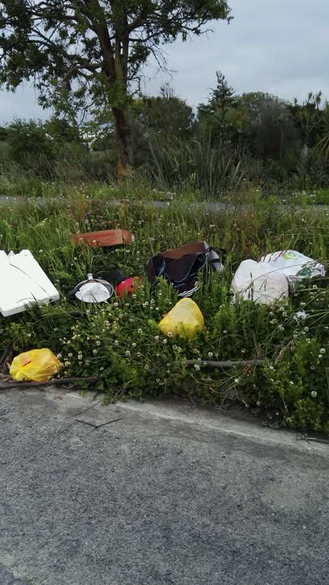
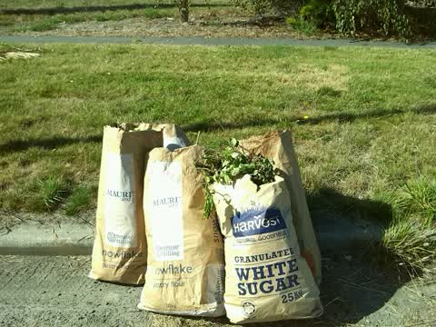
 Hi the council or someone has left a huge pile of tree litter on Hulverstone drive if this can be removed please. Also a good tidy up of th
- Pavement - General —
- Vandalism - General —
 Park - General Request —
 Vehicle has driven up the ramp and down over the grass ripping the ground cover and leaving ruts in the grass.
 Rubbish/Recycling —
  Parks —
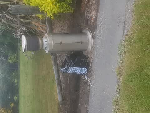
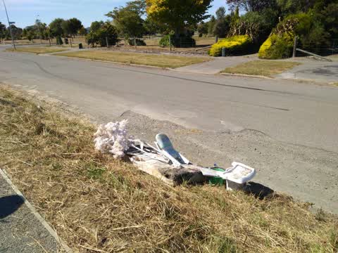
 DUMPING PLEASE PICK UP .THANKYOU
 Parks —
 DUMPING, please arrange to remove this asap please. This Dumping continues because this area looks terrible even though we as residents pay
Rubbish/Recycling —
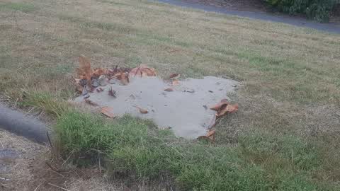
Dumping of builders sand please remove thankyou
Roading/Streets —
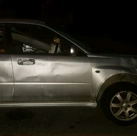
This car belongs to young people at 42 Briamount street. They have been doing burn outs and heavily marking the roads with their noisy destr
Rubbish/Recycling —
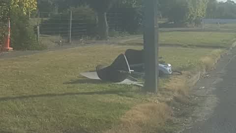
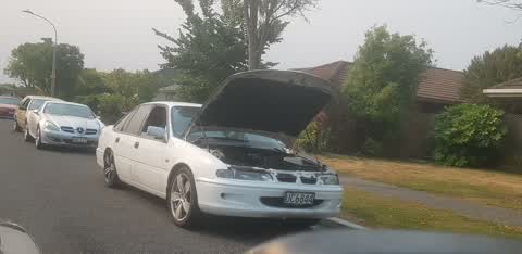
abandoned vehicle, plates removed , mat pay to contact police. please arrange for it to be moved
Rubbish/Recycling —
Rubbish/Recycling —
Dumping
Rubbish/Recycling —
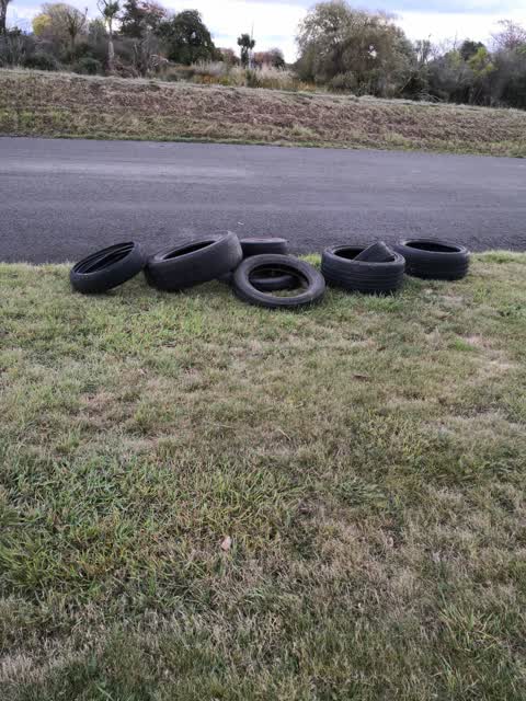
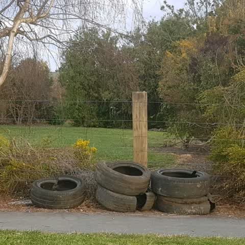
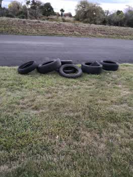
Please clear away this recent dumping of tyres. When are the council going to do something about this problem!!! This is happening almost
Rubbish/Recycling —
Rubbish/Recycling —
Also reported on Hulverstone Drive
- 127 Hulverstone Drive — 26 reports
- 119 Hulverstone Drive — 22 reports
- 121 Hulverstone Drive — 16 reports
- 53R Hulverstone Drive — 15 reports
- 67 Hulverstone Drive — 14 reports
- 117 Hulverstone Drive — 11 reports
- 87 Hulverstone Drive — 10 reports
- 129A Hulverstone Drive — 10 reports
The street’s crash record
NZTA’s record names Hulverstone Drive in 1 crash that hurt somebody since 2006 — 0 seriously hurt, nobody killed.
The green nearby
- Amelia Rogers Reserve — 48 m to the edge · 2 ha
- Dixon Reserve — 116 m to the edge
- Brooker Reserve — 170 m to the edge · 1 ha
- Avondale Park — 363 m to the edge · Sports ground · 4 ha
- Cedarwood Reserve — 372 m to the edge · 1 ha
Parks within half a kilometre, measured to the boundary — the council’s open data.
The tracks through here
- Walk and bike track through Avondale — 19 m to the line · walk · bike
- Walk and bike track through Avondale — 62 m to the line · walk · bike
- Walk and bike track through Avondale — 136 m to the line · walk · bike
- Walk and bike track through Avondale — 176 m to the line · walk · bike
- Walk and bike track through Avondale — 300 m to the line · walk · bike
Tracks whose line passes within half a kilometre, measured to the line itself — the council’s open data.
The named ground
Named water within 500 m of this address, measured to the line or the edge; the council’s own structure register — bridges, boardwalks and steps standing nearby — the open map’s record.
The remembered names nearby
- This Footbridge / Was Opened in March 2022 — 64 m away ·
This footbridge / was opened in March 2022 / Co‑funded by the / Christchurch Earthquake Ap
· 2022
Inscribed plaques within two hundred and fifty metres — the register’s pins, not surveyed spots. The whole roll is at /plaques.
Renting nearby
new bonds in Avondale ran about $600 a week — $50 above the city median of $550 — the suburb page keeps the rent record →.
The civic layer
This ground votes in Burwood ward — the Coastal-Burwood-Linwood community board. Ward lines don’t always follow suburb lines; this one is measured at the pin, not the suburb’s centre.
What stood on this ground → · On the map → · From the air — the Crown’s aerials back to 1936; search the address on RetroLens →
Questions, answered briefly
15 council reports on record since June 2016 — most often rubbish/recycling (8), parks (2), vandalism - general (1).
Avondale, Christchurch — on Hulverstone Drive.
Nothing on the heritage register at this exact spot — the record around this ground →
Amelia Rogers Reserve — 48 m to its edge, 2 ha.