23 Chardale Street, Avondale
13 reports on record since September 2018 · 12 with photographs. The street’s heaviest record is 24 Chardale Street — 18 reports on file. Indicative rating valuation and school zones, hazards, bin day and what stood here before.
What gets reported here
Photographed here 12 on record


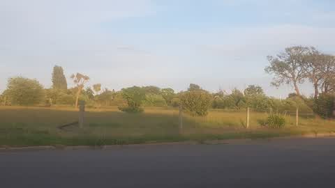
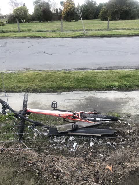
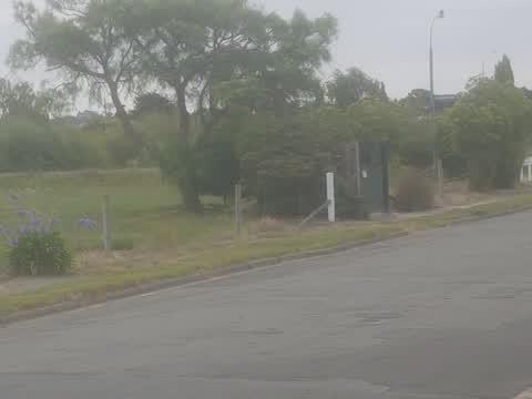
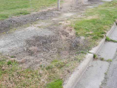
Reported here
 Dumped Rubbish —
 Dumped garden rubbish
 Dumped Rubbish —
 Dumped rubbish. I’m sorry I couldn’t carry it with me.
 Overgrown Vegetation —
 Hi why are the Berms only edge trimmed part of Chardale street and not entire street. We are at 22 Chardale and across the road they leave t
- Damaged Road —
 Street Gutters / Storm Water —
 We have had this storm water flooding ever since the earthquakes we are over it !! it’s about time the council sorted this out you have had
 Parks —
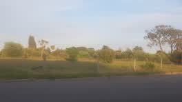
 MOW YOUR GRASS AND BERMS IN AVONDALE !!!!! It looks terrible if this were fendalton it would be a different story but no don't worry about
 Roading/Streets —
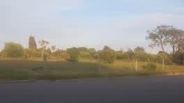
 Mow your berms and grass or I'll go to the press with how badly the CCC treat us rate paying east residents.
Rubbish/Recycling —
Rubbish/Recycling —
 Parks —
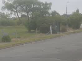
 when are the berms and red zone near Chardale and hulverstone drive going to be mowed?? Please address thank you.
 Roading/Streets —
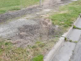
 sink hole developing on grass berm
Roading/Streets —
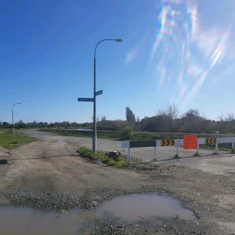
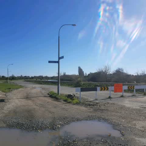
This road blocking of corner hulverstone drive and Chardale street is not working . There is constant illegal driving through by 4wd vehicl
Roading/Streets —
This road blocking of corner hulverstone drive and Chardale street is not working . There is constant illegal driving through by 4wd vehicl
Also reported on Chardale Street
- 24 Chardale Street — 18 reports
- 22 Chardale Street — 15 reports
- 28 Chardale Street — 7 reports
- 2–28 Chardale Street — 5 reports
- 2 Chardale Street — 5 reports
- 7 Chardale Street — 3 reports
- 26 Chardale Street — 3 reports
- 9 Chardale Street — 2 reports
The green nearby
- Amelia Rogers Reserve — 71 m to the edge · 2 ha
- Dixon Reserve — 172 m to the edge
- Brooker Reserve — 222 m to the edge · 1 ha
- Avondale Park — 308 m to the edge · Sports ground · 4 ha
- Cedarwood Reserve — 418 m to the edge · 1 ha
Parks within half a kilometre, measured to the boundary — the council’s open data.
The tracks through here
- Walk and bike track through Avondale — 44 m to the line · walk · bike
- Walk and bike track through Avondale — 86 m to the line · walk · bike
- Walk and bike track through Avondale — 168 m to the line · walk · bike
- Walk and bike track through Avondale — 229 m to the line · walk · bike
- Walk and bike track through Avondale — 346 m to the line · walk · bike
Tracks whose line passes within half a kilometre, measured to the line itself — the council’s open data.
The named ground
Named water within 500 m of this address, measured to the line or the edge; the council’s own structure register — bridges, boardwalks and steps standing nearby — the open map’s record.
The remembered names nearby
- This Footbridge / Was Opened in March 2022 — 117 m away ·
This footbridge / was opened in March 2022 / Co‑funded by the / Christchurch Earthquake Ap
· 2022
Inscribed plaques within two hundred and fifty metres — the register’s pins, not surveyed spots. The whole roll is at /plaques.
Renting nearby
new bonds in Avondale ran about $600 a week — $50 above the city median of $550 — the suburb page keeps the rent record →.
The civic layer
This ground votes in Burwood ward — the Coastal-Burwood-Linwood community board. Ward lines don’t always follow suburb lines; this one is measured at the pin, not the suburb’s centre.
What stood on this ground → · On the map → · From the air — the Crown’s aerials back to 1936; search the address on RetroLens →
Questions, answered briefly
13 council reports on record since September 2018 — most often roading/streets (4), rubbish/recycling (2), parks (2).
Avondale, Christchurch — on Chardale Street.
Nothing on the heritage register at this exact spot — the record around this ground →
Amelia Rogers Reserve — 71 m to its edge, 2 ha.