952 Avonside Drive, Avondale
14 reports on record since December 2015 · 11 with photographs. The street’s heaviest record is 1152 Avonside Drive — 19 reports on file. Indicative rating valuation and school zones, hazards, bin day and what stood here before.
What gets reported here
- Roading/Streets — 4
- Parks — 4
- Graffiti — 3
- Poles and Signage - General — 1
- Graffiti on a road, footpath or bridge — 1
- General Request — 1
Photographed here 11 on record


Reported here
 Graffiti on a road, footpath or bridge —
 Graffiti on bridge in numerous arears
- Graffiti —
- General Request —
- Graffiti —
 Graffiti —
 Parks —
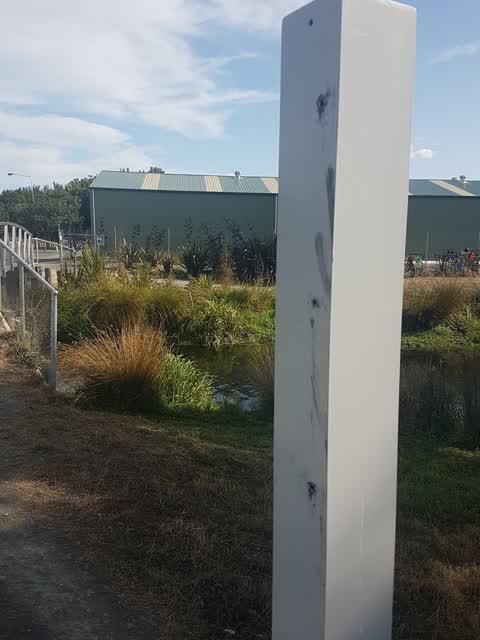
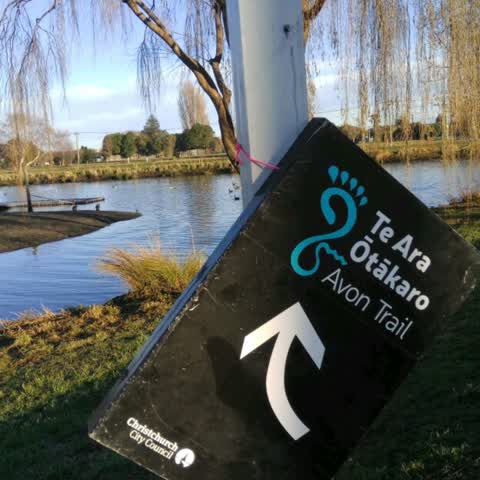
the Avon river walk sign has been ripped off and thrown into the river under the footbridge
Roading/Streets —
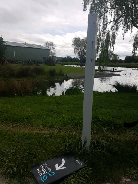
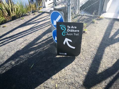
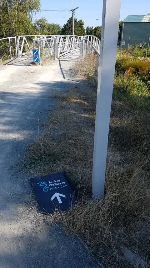
Te Ara Otakaro sign has fallen off the pole on the north side of the bridge by the rowing sheds
Parks —
busted sign.
Poles and Signage - General —
River trail flag sign off pole and on ground
Parks —
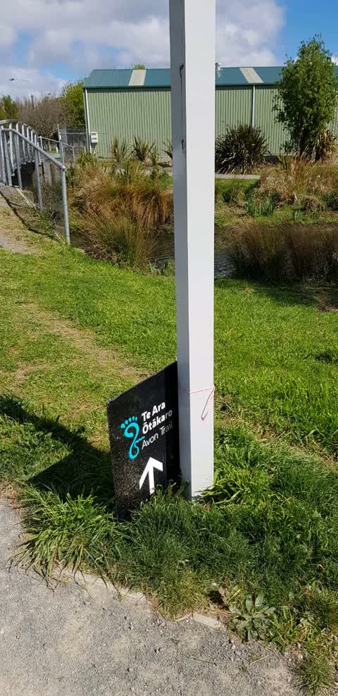
the sign has fallen off and is now attached by a string
Parks —
River Trail flag sign has been ripped off post - North end of footbridge at Kerrs Reach - thx!
Roading/Streets —
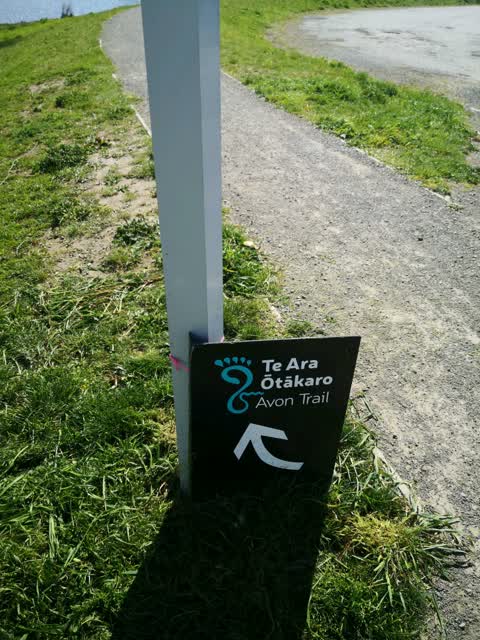
Te Ara Otakaro Avon River Trail sign is broken. Beside the bridge at Jerrs Teach and Avonside Dr
Roading/Streets —
Roading/Streets —
Also reported on Avonside Drive
- 1152 Avonside Drive — 19 reports
- 914 Avonside Drive — 14 reports
- 936 Avonside Drive — 11 reports
- 916 Avonside Drive — 7 reports
- 875 Avonside Drive — 7 reports
- 1058 Avonside Drive — 7 reports
- 906 Avonside Drive — 6 reports
- 902 Avonside Drive — 6 reports
The street’s crash record
NZTA’s record names Avonside Drive in 5 crashes that hurt somebody since 2006 — 1 seriously hurt, nobody killed.
The green nearby
- Porritt Park — 4 m to the edge · Sports ground · 11 ha
- Avon Riverbank True Left — 129 m to the edge · 6 ha
- Halberg Reserve — 148 m to the edge
- Bickerton Reserve — 355 m to the edge
- Emlyn Playground — 364 m to the edge
Parks within half a kilometre, measured to the boundary — the council’s open data.
The bus nearby
The closest Metro stops, within four hundred and fifty metres.
The tracks through here
- Walk and bike track through Avondale — 29 m to the line · walk · bike
- Walk and bike track through Avondale — 50 m to the line · walk · bike
- Walk and bike track through Avondale — 110 m to the line · walk · bike
- Walk and bike track through Avondale — 338 m to the line · walk · bike
- Walk and bike track through Avondale — 410 m to the line · walk · bike
Tracks whose line passes within half a kilometre, measured to the line itself — the council’s open data.
The named ground
Named water within 500 m of this address, measured to the line or the edge; the council’s own structure register — bridges, boardwalks and steps standing nearby — the open map’s record.
The remembered names nearby
- In Memory of / Steve Riley / Who Died While Working — 13 m away ·
IN MEMORY OF / STEVE RILEY / WHO DIED WHILE WORKING / NEAR HERE / 25th SEPTEMBER 1996 / ER
· 2018
Inscribed plaques within two hundred and fifty metres — the register’s pins, not surveyed spots. The whole roll is at /plaques.
Renting nearby
new bonds in Avondale ran about $600 a week — $50 above the city median of $550 — the suburb page keeps the rent record →.
The civic layer
This ground votes in Burwood ward — the Coastal-Burwood-Linwood community board. Ward lines don’t always follow suburb lines; this one is measured at the pin, not the suburb’s centre.
What stood on this ground → · On the map → · From the air — the Crown’s aerials back to 1936; search the address on RetroLens →
Questions, answered briefly
14 council reports on record since December 2015 — most often roading/streets (4), parks (4), graffiti (3).
Avondale, Christchurch — on Avonside Drive.
Nothing on the heritage register at this exact spot — the record around this ground →
Porritt Park — 4 m to its edge, 11 ha.