208 Avonside Drive, Avonside
12 reports on record since January 2019 · 10 with photographs. The street’s heaviest record is 244/240 Avonside Drive — 56 reports on file. Indicative rating valuation and school zones, hazards, bin day and what stood here before.
What gets reported here
- Graffiti — 8
- Rubbish/Recycling — 1
- Graffiti on a cabinet, pole or railway asset — 1
- General Request — 1
- Abandoned Vehicle — 1
Photographed here 10 on record


Reported here
 General Request —
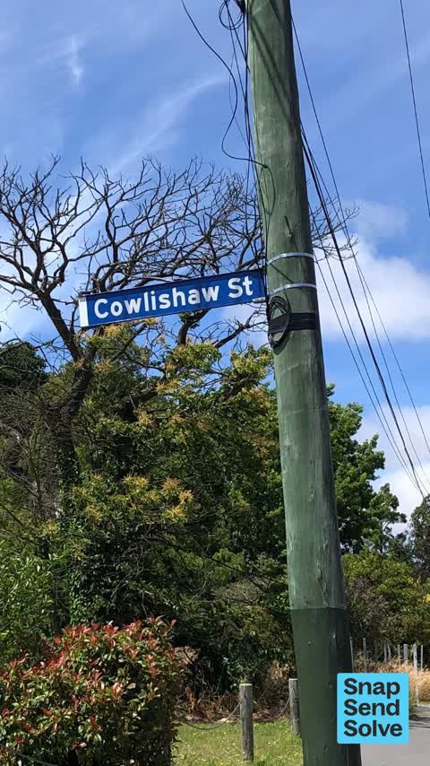
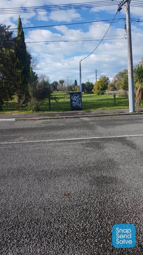
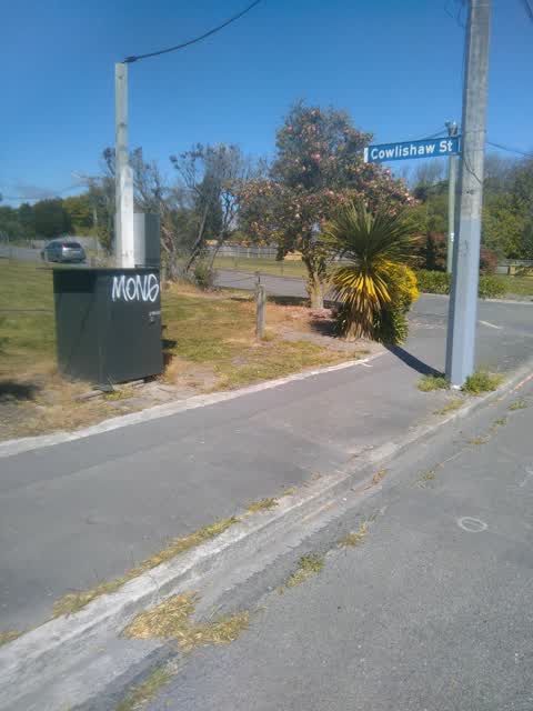
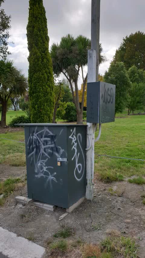
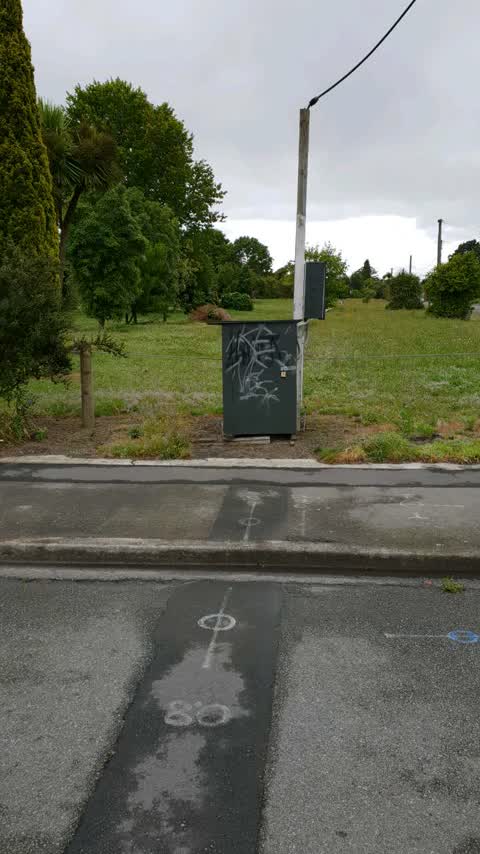
 Graffiti on power meter box & power pole EP059 in front of it. This is on the corner of Cowlishaw Street & Avonside Drive by redzone. Thanks
 Graffiti on a cabinet, pole or railway asset —
 Not an Orion cabinet, but they haven’t forwarded it, so I’m doing another snap and send.
 Abandoned Vehicle —
  Graffiti —
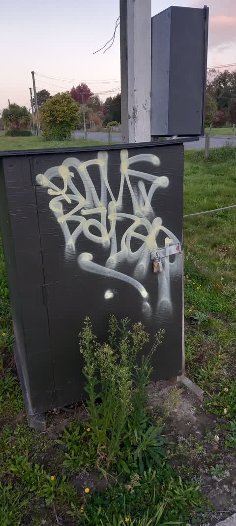
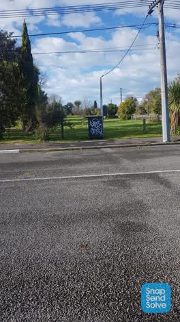
 Regular graffiti, corner Cowlishaw and Avonside Drive.. on a green box
- Graffiti —
- Graffiti —
 Graffiti —
 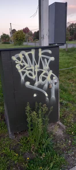 Graffiti —
 Graffiti —
There is fresh tagging on the utility box here.
Rubbish/Recycling —
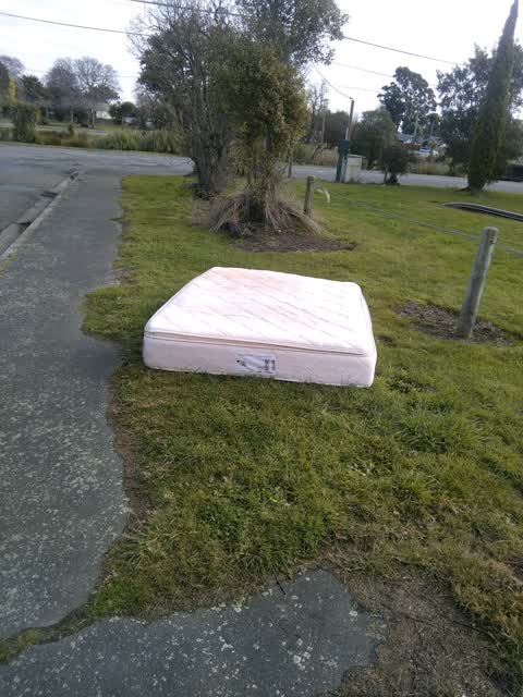
A mattress has been dumped on the corner of cowlishaw street and Avonside drive.
Graffiti —
Graffiti —
Also reported on Avonside Drive
- 244/240 Avonside Drive — 56 reports
- 800 Avonside Drive — 43 reports
- 746 Avonside Drive — 34 reports
- 774 Avonside Drive — 31 reports
- 658 Avonside Drive — 27 reports
- 740 Avonside Drive — 23 reports
- 836 Avonside Drive — 21 reports
- 240 Avonside Drive — 20 reports
The street’s crash record
NZTA’s record names Avonside Drive in 17 crashes that hurt somebody since 2006 — 1 seriously hurt, nobody killed.
The green nearby
- Avon Riverbank True Right — 61 m to the edge · 11 ha
- Avebury Park — 216 m to the edge · Botanic
- Richmond Playground — 384 m to the edge
- Alexandra Park — 427 m to the edge
- Beverley Park — 436 m to the edge · 3 ha
Parks within half a kilometre, measured to the boundary — the council’s open data.
On the doorstep
- Riverlution Cafe — 158 m away · Cafés
- Woodham Road Medical Centre — 273 m away · Business
- Woodham Road Pharmacy — 282 m away · Pharmacies
- Woodham Road Healthcare — 289 m away · Doctors & clinics
Businesses within four hundred metres, measured at the pin — OpenStreetMap and the council directories.
The bus nearby
- Woodham Rd near Avonside Dr — 295 m away · the Orbiter (clockwise)
- Woodham Rd near Linwood Ave — 299 m away · the Orbiter (anticlockwise)
The closest Metro stops, within four hundred and fifty metres.
The tracks through here
- Walk and bike track through Avonside — 51 m to the line · walk · bike
- Walk and bike track through Avonside — 51 m to the line · walk · bike
- Walk and bike track through Avonside — 79 m to the line · walk · bike
- Walk and bike track through Avonside — 206 m to the line · walk · bike
- Walk and bike track through Avonside — 289 m to the line · walk · bike
Tracks whose line passes within half a kilometre, measured to the line itself — the council’s open data.
The named ground
Named water within 500 m of this address, measured to the line or the edge; the council’s own structure register — bridges, boardwalks and steps standing nearby — the open map’s record.
Renting nearby
new bonds in Avonside ran about $293 a week — $257 below the city median of $550 — the suburb page keeps the rent record →.
What was here — MED Substation and Setting
139 m away · 11 Retreat Road · located to ±5 m · the place’s own record →
On the register. Nothing researched here yet.
The civic layer
This ground votes in Burwood ward — the Coastal-Burwood-Linwood community board. Ward lines don’t always follow suburb lines; this one is measured at the pin, not the suburb’s centre.
What stood on this ground → · On the map → · From the air — the Crown’s aerials back to 1936; search the address on RetroLens →
Questions, answered briefly
12 council reports on record since January 2019 — most often graffiti (8), rubbish/recycling (1), graffiti on a cabinet, pole or railway asset (1).
Avonside, Christchurch — on Avonside Drive.
The heritage register names a place at or beside it — MED Substation and Setting.
Avon Riverbank True Right — 61 m to its edge, 11 ha.