339 Harewood Road, Bishopdale
15 reports on record since January 2017 · 10 with photographs. The street’s heaviest record is 360 Harewood Road — 94 reports on file. Indicative rating valuation and school zones, hazards, bin day and what stood here before.
What gets reported here
- Park - General Request — 6
- Parks — 3
- Graffiti — 3
- Roading/Streets — 1
- Overgrown Vegetation — 1
- Accessibility — 1
Photographed here 10 on record


Reported here
 Park - General Request —
 Broken and smashed bottles all around the playground
 Accessibility —
 Wow. People leave scooters wherever. Hazard to pedestrians especially those with mobility issues. Please remove these. Maybe scooter company
 Park - General Request —
 Lime bike has been parked inappropriately. It is not safe for pedestrians
- Overgrown Vegetation —
- Park - General Request —
- Park - General Request —
- Park - General Request —
- Park - General Request —
 Graffiti —
 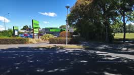 Parks —
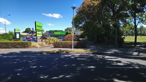
 Shrubs preventing line of sight between drivers exiting carpark and footpath users. Drivers rush out of this exit without a thought for foot
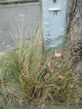 Graffiti —
 Graffiti —
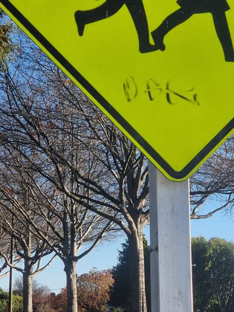
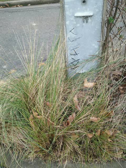
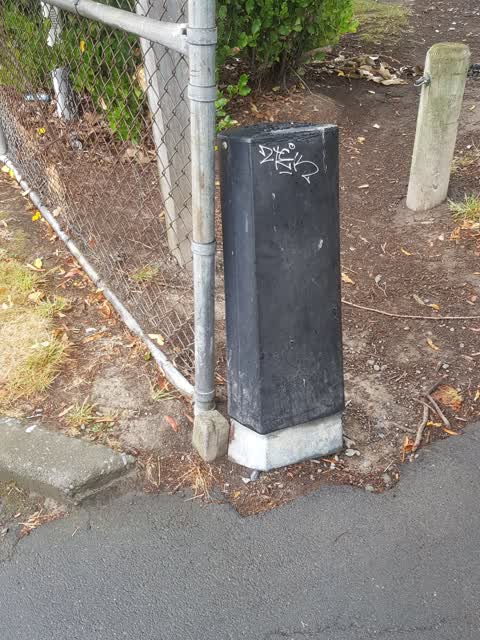
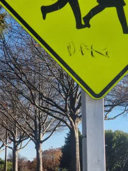
Hi there here are three spots of graffiti from today one by exit beside Liquorland only small but if left will "grow" also the new Liquorlan
Parks —
Parks —
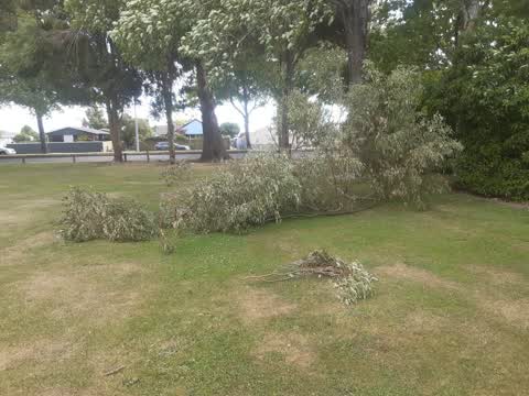
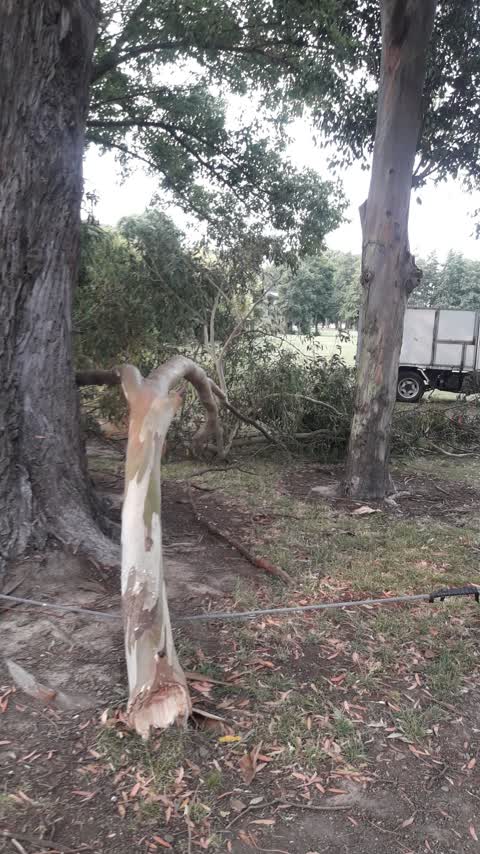
big branch broke off ,just missing pedestrians ,I dragged it off the path into the park ( Bishopdale park)
Roading/Streets —
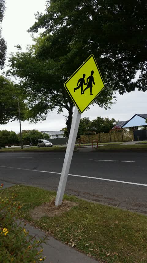
Street sign just before park at 45 degree angle someone will swing on it dangerous
Also reported on Harewood Road
- 360 Harewood Road — 94 reports
- 333 Harewood Road — 21 reports
- 347 Harewood Road — 8 reports
- 375 Harewood Road — 7 reports
- 337 Harewood Road — 7 reports
- 336 Harewood Road — 7 reports
- 318 Harewood Road — 7 reports
- 252B Harewood Road — 7 reports
The street’s crash record
NZTA’s record names Harewood Road in 93 crashes that hurt somebody since 2006 — 14 seriously hurt, nobody killed.
The green nearby
- Bishopdale Park — you are in it · Sports ground · 7 ha
- Bishopdale Mall Reserve — 152 m to the edge
- Farrington Reserve — 324 m to the edge
Parks within half a kilometre, measured to the boundary — the council’s open data.
The civic shelf nearby
- Ōrauwhata: Bishopdale Library And Community Centre — 268 m away · Library · 17c Bishopdale Ct, Bishopdale, Christchurch 8053
Libraries, halls and the rest within half a kilometre — the council’s open data.
On the doorstep
- Liquorland — 47 m away · Bottle stores
- Cafe La Tazia — 56 m away · Cafés
- Tavern Harewood — 77 m away · Bars & pubs
- Cocoa Black — 84 m away · Cafés
Businesses within four hundred metres, measured at the pin — OpenStreetMap and the council directories.
The bus nearby
- Bishopdale Mall (Harewood Rd) — 112 m away · route 27, route 125
- Bishopdale Mall (Harewood Rd) — 132 m away · route 27, route 125
The closest Metro stops, within four hundred and fifty metres.
The tracks through here
- Walk and bike track through Bishopdale — 184 m to the line · walk · bike
- Walk and bike track through Bishopdale — 234 m to the line · walk · bike
Tracks whose line passes within half a kilometre, measured to the line itself — the council’s open data.
The named ground
the council’s own structure register — bridges, boardwalks and steps standing nearby — the open map’s record.
Renting nearby
new bonds in Bishopdale ran about $599 a week — $49 above the city median of $550 — the suburb page keeps the rent record →.
The civic layer
This ground votes in Harewood ward — the Fendalton-Waimairi-Harewood community board. Ward lines don’t always follow suburb lines; this one is measured at the pin, not the suburb’s centre.
What stood on this ground → · On the map → · From the air — the Crown’s aerials back to 1936; search the address on RetroLens →
Questions, answered briefly
15 council reports on record since January 2017 — most often park - general request (6), parks (3), graffiti (3).
Bishopdale, Christchurch — on Harewood Road.
Nothing on the heritage register at this exact spot — the record around this ground →
Bishopdale Park — the address is inside it, 7 ha.