110 Francella Street
7 council reports since March 2017, 5 carrying a photograph. The street’s heaviest record is 76 Francella Street, 12 reports on file.
From the air, then
Sourced from Canterbury Maps and partners. LINZ, CC BY 3.0 NZ. Each frame is cut from Environment Canterbury’s historic imagery MapServer for that decade, only where the Footprints layer names a CC BY survey (NZAM-covered spots stay out). RetroLens holds more Crown aerials →
The green nearby
- Francella Reserve, 370 m to the edge
Parks within half a kilometre, measured to the boundary, the council’s open data. The whole roll is at /parks.
On the doorstep
- Mirotone, 129 m away · Paint
- Clutterbarn Florist, 286 m away · Florists
Businesses within four hundred metres, measured at the pin, OpenStreetMap and the council directories.
The bus nearby
- Maces Rd near Wickham St, 382 m away · route 155
- Maces Rd near Lupins Ln, 388 m away · route 155
The closest Metro stops, within four hundred and fifty metres.
Renting nearby
new bonds in Bromley ran about $560 a week, $10 above the city median of $550, the suburb page keeps the rent record →.
What gets reported here
Photographed here 5 on record


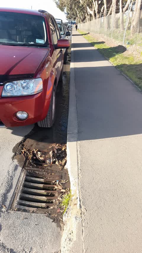
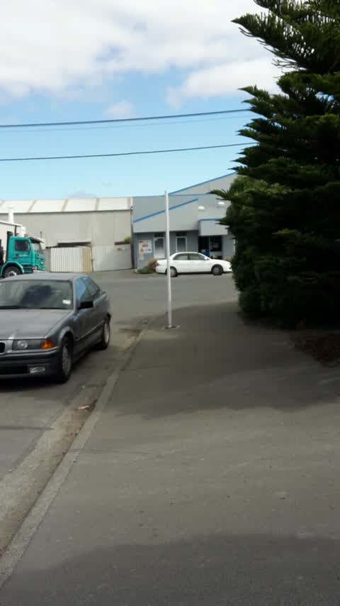
What’s on record
 Street Gutters / Storm Water, 11 Jul 2026
missing Drain grate outside sims side entrance on francella st
- Road Signage, 23 Oct 2025
Few road signs have been left on the side of the road, roadworks finished about 2 weeks ago. I have moved them to the sidewalk/grass as it w
 Dumped Rubbish, 24 Jul 2025
Couches x2
 Street Gutters / Storm Water, 2 Mar 2025
Blocked drain by thick leaves
- Dumped Rubbish, 25 Jan 2023
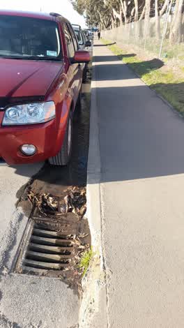 Wastewater/Stormwater, 24 Sept 2021
Water running down the stormwater drain. Coming from opposite the industrial services Intergroup offices. Started flowing when a truck from
Roading/Streets, 1 Mar 2017
Rear p120 sign missing
Elsewhere on Francella Street
- 76 Francella Street, 12 reports
- 21 Francella Street, 10 reports
- 50 Francella Street, 9 reports
- 99 Francella Street, 7 reports
- 8 Francella Street, 3 reports
- 55 Francella Street, 3 reports
- 106 Francella Street, 3 reports
- 98 Francella Street, 2 reports
The civic layer
This ground votes in Linwood ward, the Coastal-Burwood-Linwood community board is its local layer. Ward lines don’t always follow suburb lines; this one is measured at the pin, not the suburb’s centre. The whole roll is at /wards.
Francella Street, the whole record → · Everything about Bromley → · What stood on this ground → · On the map → · From the air, RetroLens holds the Crown’s aerials back to 1936; search the address there →
Questions, answered briefly
7 council reports on record since March 2017, most often street gutters / storm water (2), dumped rubbish (2), wastewater/stormwater (1).
Bromley, Christchurch, on Francella Street.
Nothing on the heritage register at this exact spot, the record around this ground →
Francella Reserve, 370 m to its edge.