56 Kearneys Road, Bromley
21 reports on record since December 2015 · 11 with photographs. The most-reported address on Kearneys Road. Indicative rating valuation and school zones, hazards, bin day and what stood here before.
What gets reported here
- Dumped Rubbish — 7
- Parks — 6
- Public Toilet — 2
- Park - General Request — 2
- Water Leak — 1
- Vandalism - General — 1
Photographed here 11 on record


Reported here
 Public Toilet —
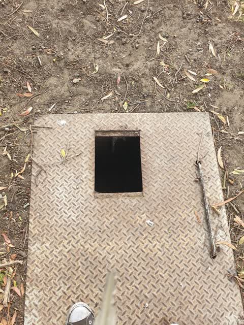
  Water Leak —
 Backflow leaking at Linfield training ground
- Dumped Rubbish —
After an all day tournament in the park next to my house (5 Daniela Lane Linwood) this is what the organizers left behind...rubbish. I could
 Street Gutters / Storm Water —
 Whatever this is, it's leaking slowly
 Public Toilet —
 Keybroken offin lock
- Dumped Rubbish —
- Dumped Rubbish —
- Park - General Request —
- Vandalism - General —
- Dumped Rubbish —
- Dumped Rubbish —
- Dumped Rubbish —
- Park - General Request —
- Dumped Rubbish —
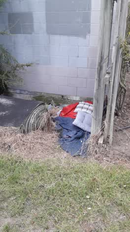 Rubbish/Recycling —
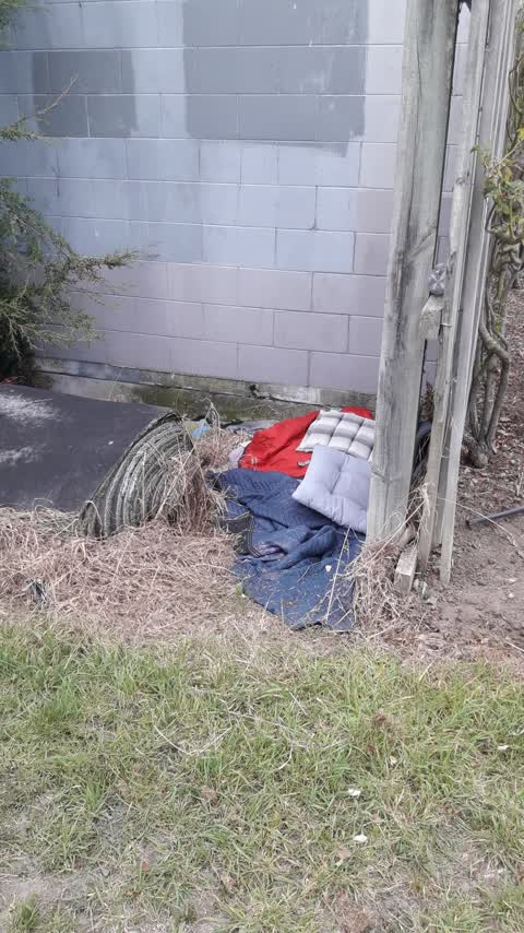
 Bedding left at park, possible homeless person occupying
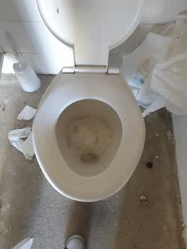 Parks —
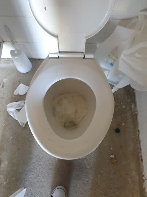
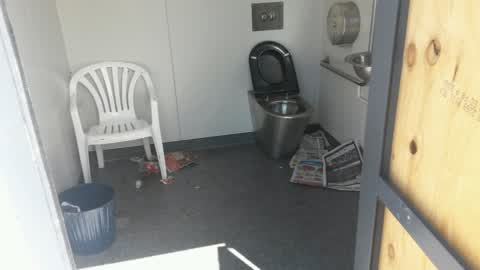
 Blocked toilet with toilet paper at Linfield Park Kearneys Road
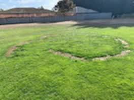 Parks —
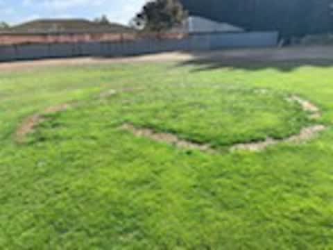
 Linfield Park 3
Parks —
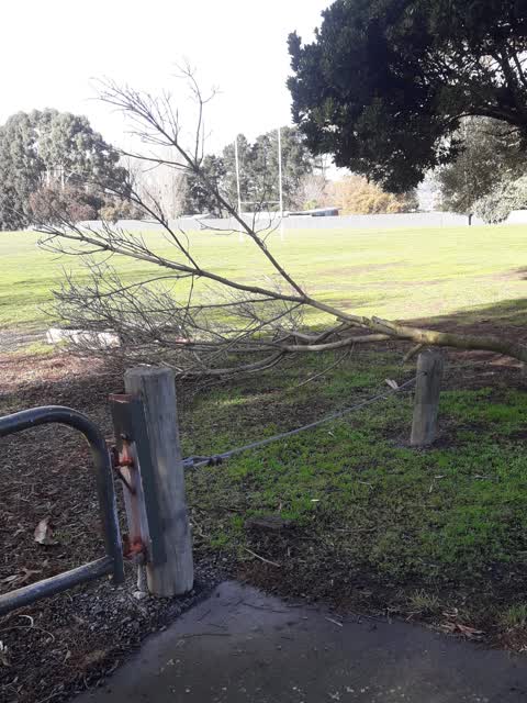
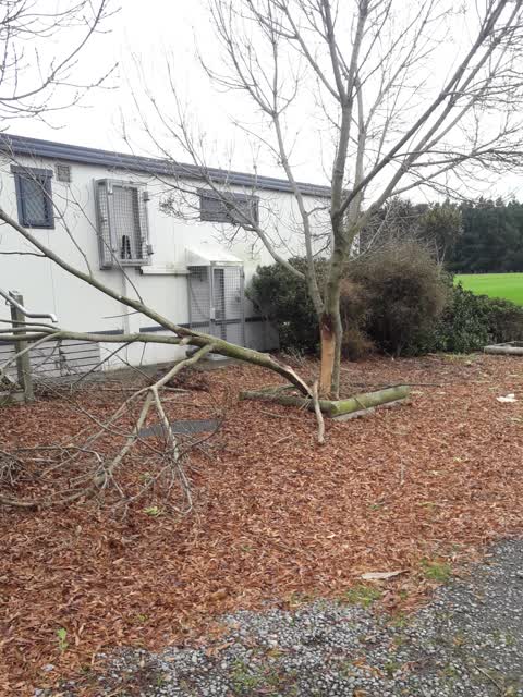
Broken tree branch
Parks —
Damaged tree
Parks —
it had been fixed but has been taken again. we have kids who play down at this park so is a hazard.
Parks —
No toilet paper and rubbish in toilets
Also reported on Kearneys Road
- 58 Kearneys Road — 9 reports
- 25 Kearneys Road — 6 reports
- 61 Kearneys Road — 4 reports
- 65 Kearneys Road — 3 reports
- 63 Kearneys Road — 2 reports
- 25A Kearneys Road — 2 reports
- 59-61 Kearneys Road — 1 report
- 59 Kearneys Road — 1 report
The green nearby
- Cuthberts Green — you are in it · Sports ground · 35 ha
- Nicholas Playground — 252 m to the edge
- Merrilees Reserve — 357 m to the edge
- Bromley Park — 492 m to the edge · Sports ground · 4 ha
Parks within half a kilometre, measured to the boundary — the council’s open data.
The civic shelf nearby
- Memorial Park Cemetery — 214 m away · Cemetery
Libraries, halls and the rest within half a kilometre — the council’s open data.
On the doorstep
- Linfield Cultural, Recreational Sports Club — 135 m away · Clubs
- Linwood Squash Club — 135 m away · Clubs
- Canterbury Indoor Bowls — 150 m away · Clubs
Businesses within four hundred metres, measured at the pin — OpenStreetMap and the council directories.
The bus nearby
The closest Metro stops, within four hundred and fifty metres.
The tracks through here
- Walk and bike track through Bromley — 339 m to the line · walk · bike
- Walk and bike track through Bromley — 354 m to the line · walk · bike
- Walk and bike track through Bromley — 430 m to the line · walk · bike
Tracks whose line passes within half a kilometre, measured to the line itself — the council’s open data.
The named ground
the council’s own structure register — bridges, boardwalks and steps standing nearby — the open map’s record.
Renting nearby
new bonds in Bromley ran about $560 a week — $10 above the city median of $550 — the suburb page keeps the rent record →.
The civic layer
This ground votes in Linwood ward — the Coastal-Burwood-Linwood community board. Ward lines don’t always follow suburb lines; this one is measured at the pin, not the suburb’s centre.
What stood on this ground → · On the map → · From the air — the Crown’s aerials back to 1936; search the address on RetroLens →
Questions, answered briefly
21 council reports on record since December 2015 — most often dumped rubbish (7), parks (6), public toilet (2).
Bromley, Christchurch — on Kearneys Road.
Nothing on the heritage register at this exact spot — the record around this ground →
Cuthberts Green — the address is inside it, 35 ha.