77 Ruru Road, Bromley
15 reports on record since August 2017 · 14 with photographs. The street’s heaviest record is 166 Ruru Road — 32 reports on file. Indicative rating valuation and school zones, hazards, bin day and what stood here before.
What gets reported here
- Rubbish/Recycling — 7
- Roading/Streets — 4
- Dumped Rubbish — 3
- Water Supply — 1
Photographed here 14 on record


Reported here
 Dumped Rubbish —
  Dumped Rubbish —
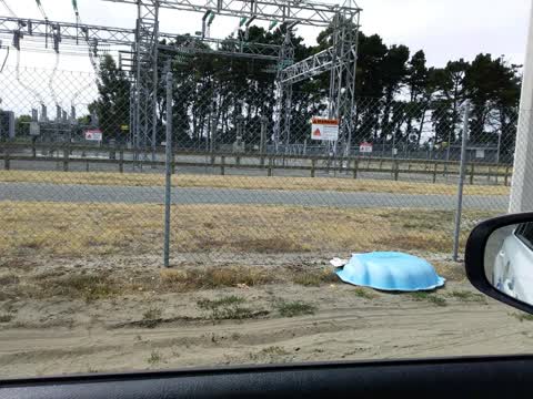
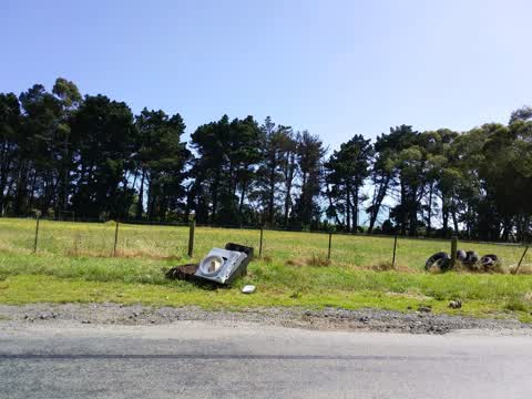
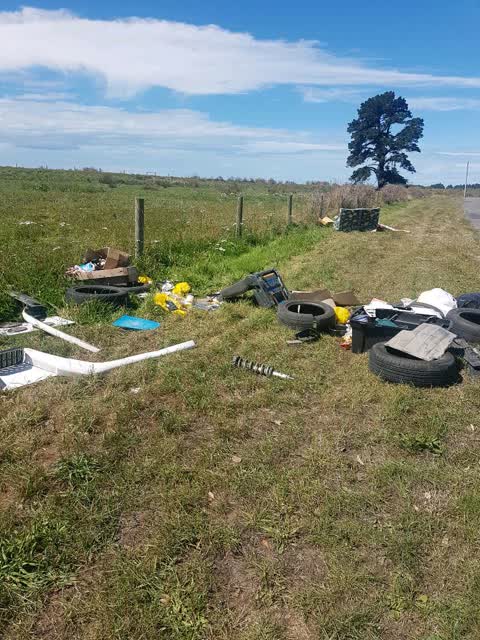
 General detritus all down this section of Ruru Rd.
- Dumped Rubbish —
Rubbish/Recycling —
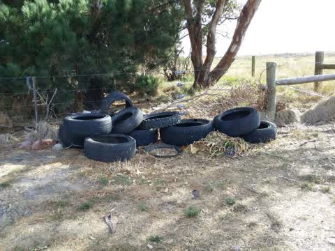
Tyres
Rubbish/Recycling —
Roading/Streets —
Rubbish/Recycling —
Rubbish/Recycling —
Water Supply —
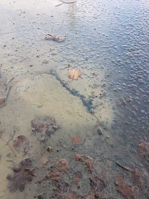
Water is bubbling up out of the road and running across road.
Rubbish/Recycling —
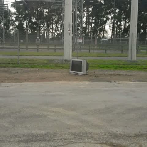
Tv on side of rd for litter contractor collection pls
Roading/Streets —
Roading/Streets —
Rubbish/Recycling —
Rubbish/Recycling —
More along street
Roading/Streets —
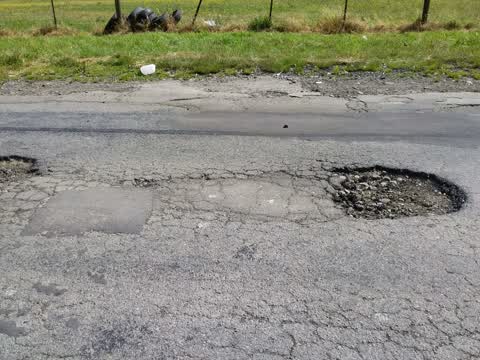
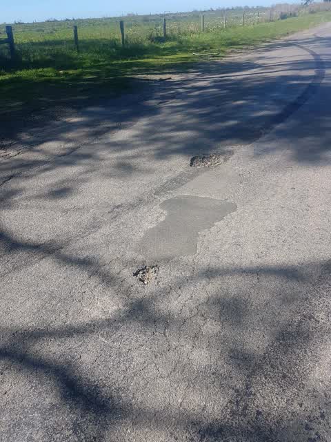
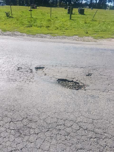
There are several holes in Ruru rd this size
Also reported on Ruru Road
- 166 Ruru Road — 32 reports
- 100 Ruru Road — 28 reports
- 63 Ruru Road — 24 reports
- 88 Ruru Road — 17 reports
- 77-79 Ruru Road — 14 reports
- 70 Ruru Road — 14 reports
- 90 Ruru Road — 13 reports
- 86 Ruru Road — 13 reports
The street’s crash record
NZTA’s record names Ruru Road in 16 crashes that hurt somebody since 2006 — 1 person killed, 4 seriously hurt.
The green nearby
- Taurus Reserve — 222 m to the edge
- Francella Reserve — 310 m to the edge
Parks within half a kilometre, measured to the boundary — the council’s open data.
On the doorstep
- Herrick Creek — 334 m away · Wineries
- Fascino Shoes Outlet Store — 364 m away · Clothing
- Flip Out Trampoline Arena — 382 m away · Attractions
Businesses within four hundred metres, measured at the pin — OpenStreetMap and the council directories.
Renting nearby
new bonds in Bromley ran about $560 a week — $10 above the city median of $550 — the suburb page keeps the rent record →.
The civic layer
This ground votes in Linwood ward — the Coastal-Burwood-Linwood community board. Ward lines don’t always follow suburb lines; this one is measured at the pin, not the suburb’s centre.
What stood on this ground → · On the map → · From the air — the Crown’s aerials back to 1936; search the address on RetroLens →
Questions, answered briefly
15 council reports on record since August 2017 — most often rubbish/recycling (7), roading/streets (4), dumped rubbish (3).
Bromley, Christchurch — on Ruru Road.
Nothing on the heritage register at this exact spot — the record around this ground →
Taurus Reserve — 222 m to its edge.