Air New Zealand Domestic Koru Lounge
Air New Zealand Domestic Koru Lounge is a bar or pub in Christchurch Airport.
Is this your business? Send hours, menu or photos, free and this page updates. chch.live’s maker builds simple sites for Christchurch businesses. Know its hours? Add them on OpenStreetMap, the page picks them up overnight.
Checked 2 Nov 2026
Christchurch Airport
Reviews
Getting there
The map loads only when you ask for it.
Straight-line distances from the pin, not walking routes.
Nearby
More nearby places 3
The nearest other bars & pubs
More nearby bars & pubs 5
All 3 bars & pubs in Christchurch Airport → · Every one in the city →
Also in Christchurch Airport
More businesses in Christchurch Airport 7
What the record holds
| Fact | What the source says | Source |
|---|---|---|
| Kind | Bars & pubs | OpenStreetMap |
| Wheelchair | Step-free, wheelchair accessible | OpenStreetMap |
| Services | No outdoor seating | OpenStreetMap |
The ground it stands on
| Fact | What the source says | Source |
|---|---|---|
| District Plan zone | Specific Purpose (Airport) | District Plan |
The reports nearby
13 council reports pinned within 250 m of the premises, most often Roads & footpaths and Rubbish & dumping, 10 with a photograph. A pin is where a reporter stood, not a claim about the place itself.
The 13 reports on file
 General Request
 Road Signage
 Hazard, vehicle
 Hazard, vehicle
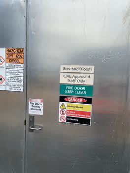 Graffiti
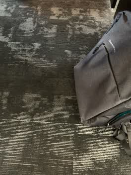 Graffiti
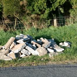 Rubbish/Recycling
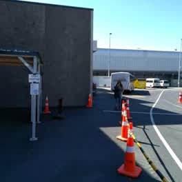 Roading/Streets
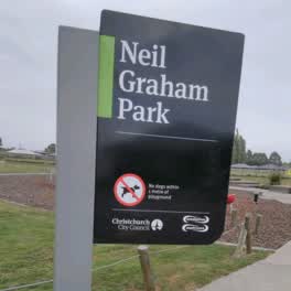 Parks
Questions, answered briefly
Read answers 6
A bar or pub in Christchurch Airport, Christchurch.
Somewhere in Christchurch Airport, the record holds no street address. On the map →
On OpenStreetMap.
Air New Zealand International Koru Lounge (181 m), Manaia Lounge (201 m), Merrin Street Brewery Bar (2.9 km), every one in the city.
6 other premises within a short walk, nearest Fern & Co. (46 m); the Christchurch International Airport bus stop is 256 m away: routes 3, 8, 29, 125.
The record behind this
This page is the union of what these public sources say, each fact above names the one it came from. A listing is a lead, not a promise the business still trades:
Sources: OpenStreetMap · Christchurch District Plan layers · Environment Canterbury’s Metro stop record
Read source notes 3
- OpenStreetMap, named premises drawn and kept current by its contributors (ODbL)
- Christchurch District Plan layers, zones, commercial centres and scheduled heritage items, from the council’s open data (CC BY 4.0)
- Environment Canterbury’s Metro stop record, distances measured here from the pin
Map data © OpenStreetMap contributors (ODbL); council and ECan data under CC BY 4.0; Wikidata CC0. Something wrong? Fix it on OpenStreetMap or tell us. The whole directory lives at /businesses. This page as markdown: /business/air-new-zealand-domestic-koru-lounge-christchurch-airport.md.