11 Rossmore Terrace, Cashmere
11 reports on record since February 2016 · 11 with photographs. The most-reported address on Rossmore Terrace. Indicative rating valuation and school zones, hazards, bin day and what stood here before.
What gets reported here
- Roading/Streets — 6
- Water Supply — 1
- Wastewater/Stormwater — 1
- Rubbish/Recycling — 1
- Parks — 1
- Graffiti — 1
Photographed here 11 on record
Reported here
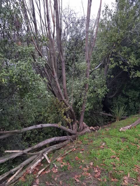
 Parks —
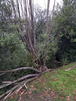
 This dead hoheria tree has started to fall over onto the grass verge. It is growing on council land.
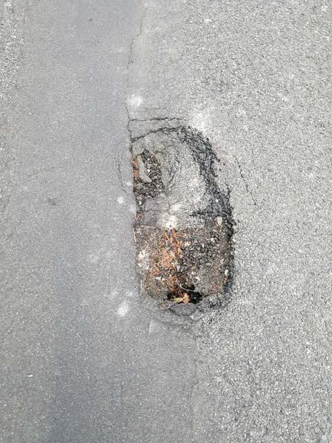
Roading/Streets —
Next time the potholers are passing. Thanks
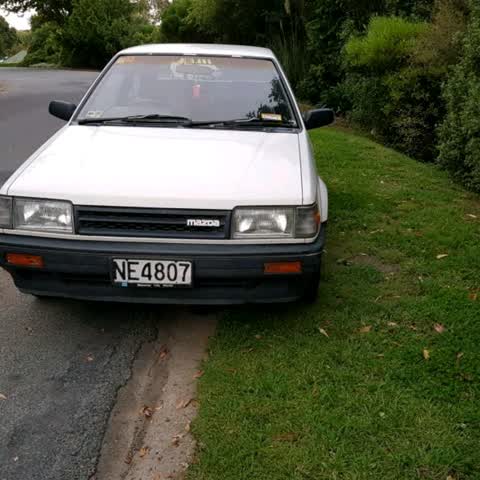
Roading/Streets —
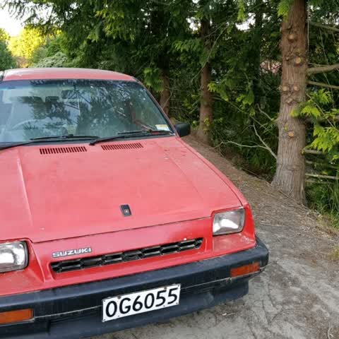
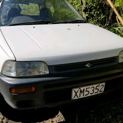
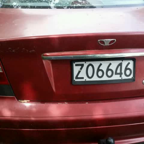
This car seems to have been abandoned. It is not registered , and does not seem to have a WOF.
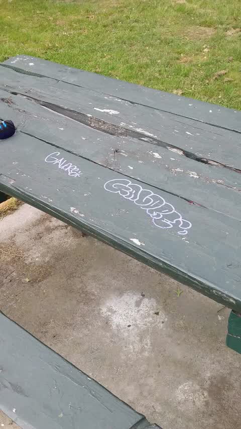
Graffiti —
In the park beside the bus stop
Roading/Streets —
These 2 cars have been abandoned on Council reserve land opposite 16a Roosmore Tce. The tenants have gone and left them weeks ago. Thanks
Roading/Streets —
There's an abandoned car opposite 16 Rossmore Tce, Cashmere.
Roading/Streets —
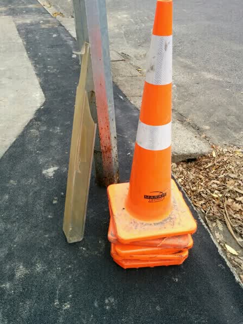
I presume that Marais Laying will have told you they managed to back into our street light and knock off the cover.
Water Supply —
There seems to be a water leak that come out under the crossing by 16 Rossmore. There's nothing flowing in but a low steady flow coming out
Roading/Streets —
The is an abandoned car opposite 16a Rossmore Tce. It has been there for months.
Wastewater/Stormwater —
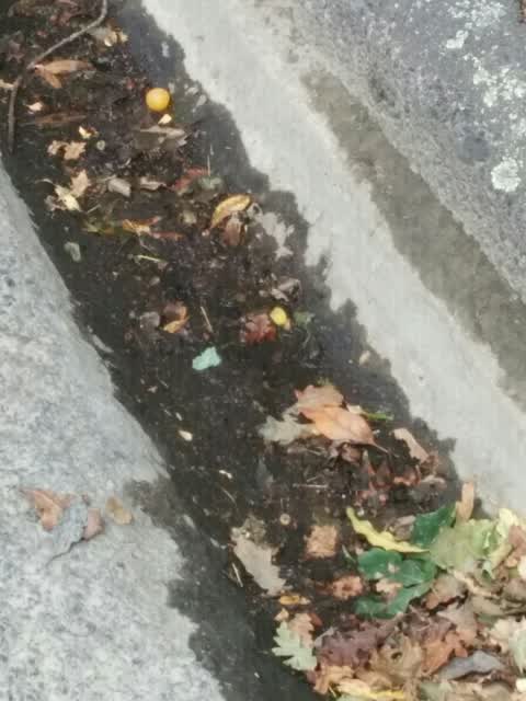
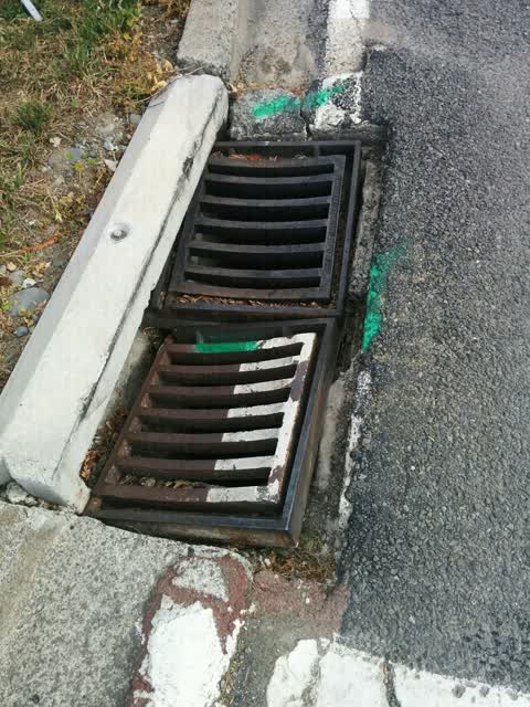
Needs a permanent fix sometime. Gets knocked out often
Rubbish/Recycling —
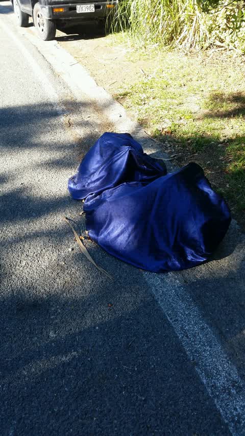
Rubbish dumped on side of road opposite 22 Rossmore Tce
Also reported on Rossmore Terrace
- 41 Rossmore Terrace — 9 reports
- 22B Rossmore Terrace — 9 reports
- 12 Rossmore Terrace — 9 reports
- 22 Rossmore Terrace — 6 reports
- 16A Rossmore Terrace — 6 reports
- 35 Rossmore Terrace — 5 reports
- 2 Rossmore Terrace — 5 reports
- 26 Rossmore Terrace — 4 reports
The street’s crash record
NZTA’s record names Rossmore Terrace in 4 crashes that hurt somebody since 2006 — 3 seriously hurt, nobody killed.
The green nearby
- Rossmore Reserve — 48 m to the edge
- Remuera Reserve — 167 m to the edge
- Holliss Reserve — 207 m to the edge · 1 ha
- Landsdowne Reserve — 245 m to the edge
- Purau Reserve — 360 m to the edge
Parks within half a kilometre, measured to the boundary — the council’s open data.
On the doorstep
- Protocol — 317 m away · Bars & pubs
- Cashmere Health — 343 m away · Doctors & clinics
- Domino's — 345 m away · Fast food
- KB's Bakery — 347 m away · Bakeries
Businesses within four hundred metres, measured at the pin — OpenStreetMap and the council directories.
The bus nearby
- Beckenham — 117 m away · the Orbiter (clockwise)
- Centaurus Rd near Torvill & Dean Ln — 135 m away · the Orbiter (anticlockwise)
The closest Metro stops, within four hundred and fifty metres.
The tracks through here
- Walk and bike track through Cashmere — 116 m to the line · walk · bike
- Walk and bike track through Cashmere — 253 m to the line · walk · bike
- Walk and bike track through Cashmere — 279 m to the line · walk · bike
- Walk and bike track through Cashmere — 288 m to the line · walk · bike
- Walk and bike track through Cashmere — 320 m to the line · walk · bike
Tracks whose line passes within half a kilometre, measured to the line itself — the council’s open data.
The named ground
Named water within 500 m of this address, measured to the line or the edge; Named places within 1.5 km of this address; the council’s own structure register — bridges, boardwalks and steps standing nearby — the open map’s record.
Renting nearby
new bonds in Cashmere ran about $707 a week — $157 above the city median of $550 — the suburb page keeps the rent record →.
What was here — St Augustine's Anglican Church and Setting
250 m away · 5 Cracroft Terrace · located to ±20 m · the place’s own record →
On the register. Nothing researched here yet.
The civic layer
This ground votes in Cashmere ward — the Spreydon-Cashmere-Heathcote community board. Ward lines don’t always follow suburb lines; this one is measured at the pin, not the suburb’s centre.
What stood on this ground → · On the map → · From the air — the Crown’s aerials back to 1936; search the address on RetroLens →
Questions, answered briefly
11 council reports on record since February 2016 — most often roading/streets (6), water supply (1), wastewater/stormwater (1).
Cashmere, Christchurch — on Rossmore Terrace.
The heritage register names a place at or beside it — St Augustine's Anglican Church and Setting.
Rossmore Reserve — 48 m to its edge.