250 Huntsbury Avenue
5 council reports since August 2022, 4 carrying a photograph. The street’s heaviest record is 215-311 Huntsbury Avenue, 9 reports on file.
From the air, then
Sourced from Canterbury Maps and partners. RNZAF, CC BY 3.0 NZ. Each frame is cut from Environment Canterbury’s historic imagery MapServer for that decade, only where the Footprints layer names a CC BY survey (NZAM-covered spots stay out). RetroLens holds more Crown aerials →
The green nearby
- Bowenvale Park, you are in it · Regional · 237 ha
- Huia Gilpin Reserve, 412 m to the edge · Regional · 8 ha
Parks within half a kilometre, measured to the boundary, the council’s open data. The whole roll is at /parks.
The tracks through here
- Walk and bike track through Cashmere, 31 m to the line · walk · bike
- Walk and bike track through Cashmere, 408 m to the line · walk · bike
Tracks whose line passes within half a kilometre, the council’s open data.
The named ground
Named places within 1.5 km of this address, the open map’s record.
Renting nearby
new bonds in Cashmere ran about $707 a week, $157 above the city median of $550, the suburb page keeps the rent record →.
What gets reported here
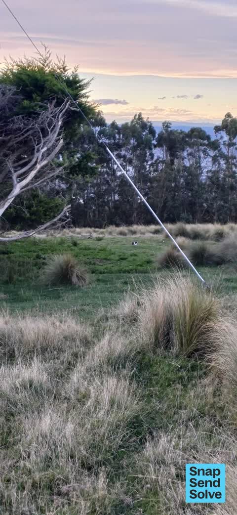
Photographed here 4 on record



What’s on record
 Dumped Rubbish, 30 Sept 2026
big load of clothes dumped just past the power lines on Huntsbury Track
 Animal - Deceased, 18 Sept 2025
Dead sheep on track above Huntsbury. Not the road by the track up to the right when you reach the end of the seal on Huntsbury Road
 Animal - Domestic, 8 May 2025
Appears to be an abandoned pet rabbit, large domestic breed. Has been in the same location three days at least. Not fearful. Top of Hunts
- Dumped Rubbish, 19 Nov 2023
 Damaged Road, 10 Aug 2022
Potholes & lack of facilities for water drainage on public road/ path access way
Elsewhere on Huntsbury Avenue
- 215-311 Huntsbury Avenue, 9 reports
- 221 Huntsbury Avenue, 7 reports
- 210 Huntsbury Avenue, 6 reports
- 261 Huntsbury Avenue, 4 reports
- 311 Huntsbury Avenue, 3 reports
- 270 Huntsbury Avenue, 2 reports
- 290 Huntsbury Avenue, 1 report
- 281 Huntsbury Avenue, 1 report
The civic layer
This ground votes in Cashmere ward, the Spreydon-Cashmere-Heathcote community board is its local layer. Ward lines don’t always follow suburb lines; this one is measured at the pin, not the suburb’s centre. The whole roll is at /wards.
Huntsbury Avenue, the whole record → · Everything about Cashmere → · What stood on this ground → · On the map → · From the air, RetroLens holds the Crown’s aerials back to 1936; search the address there →
Questions, answered briefly
5 council reports on record since August 2022, most often dumped rubbish (2), damaged road (1), animal - domestic (1).
Cashmere, Christchurch, on Huntsbury Avenue.
Nothing on the heritage register at this exact spot, the record around this ground →
Bowenvale Park, the address is inside it, 237 ha.