31A Cashmere Road, Cashmere
13 reports on record since August 2022 · 7 with photographs. The street’s heaviest record is 73 Cashmere Road — 97 reports on file. Indicative rating valuation and school zones, hazards, bin day and what stood here before.
What gets reported here
Photographed here 7 on record




Reported here
 Street Gutters / Storm Water —
 Automotive fluid spill next to river
 Graffiti on a fence, building or structure —
  Park - General Request —
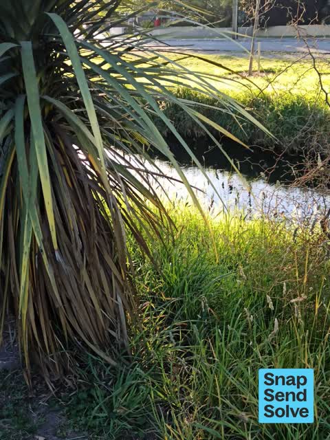
 Sorry another wasp nest, in long grass behind a cabbage tree next to walking track. Might be okay as not directly beside track but I would r
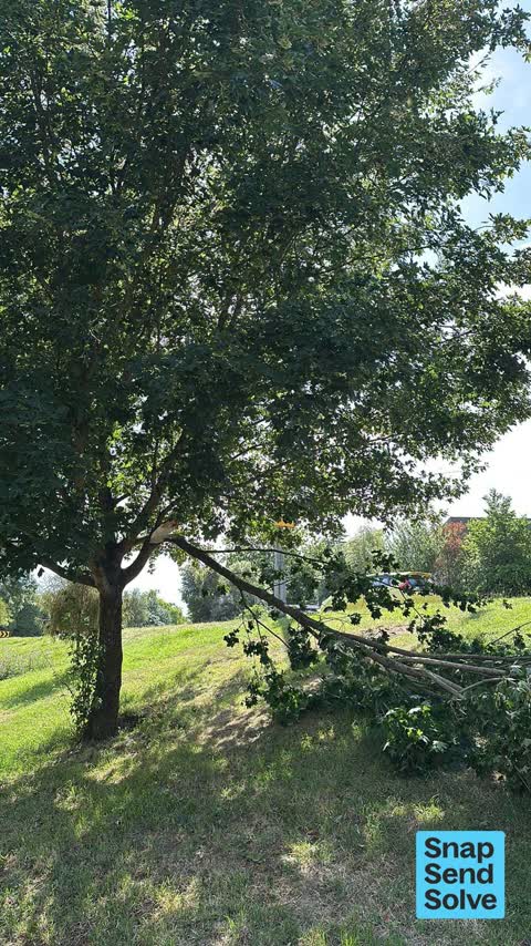
 Fallen Tree —
 Large branch down
 Road Signage —
 Not very clear
 Litter —
 Abandoned road cone on grass area under tree at southern end of Ernle Clark Reserve, Cashmere. Abandoned road cone is on grassed river bank
- Road Signage —
- General Request —
- Trees - General —
- Street Light Outage —
- Damaged Road —
- Graffiti —
 Roads - General —
 Road surface subsidence
Also reported on Cashmere Road
- 73 Cashmere Road — 97 reports
- 36 Cashmere Road — 46 reports
- 97 Cashmere Road — 40 reports
- 95 Cashmere Road — 28 reports
- 77 Cashmere Road — 27 reports
- 97R Cashmere Road — 21 reports
- 37 Cashmere Road — 19 reports
- 87 Cashmere Road — 18 reports
The street’s crash record
NZTA’s record names Cashmere Road in 58 crashes that hurt somebody since 2006 — 14 seriously hurt, nobody killed.
The green nearby
- Ernle Clark Reserve — 75 m to the edge · Botanic · 2 ha
- Purau Reserve — 161 m to the edge
- Cashmere Riverbank Reserve — 207 m to the edge · 1 ha
- Thorrington Reserve — 280 m to the edge
- Cashmere Valley Reserve — 468 m to the edge · 2 ha
Parks within half a kilometre, measured to the boundary — the council’s open data.
On the doorstep
- Cashmere Medical Practice — 146 m away · Doctors & clinics
- Cashmere Fish Supply — 267 m away · Fast food
- Savvy Hair — 316 m away · Hairdressers
- Cashmere Health — 351 m away · Doctors & clinics
Businesses within four hundred metres, measured at the pin — OpenStreetMap and the council directories.
The bus nearby
- Cashmere Rd — 34 m away · route 1, the Orbiter (clockwise)
- Cashmere Rd — 51 m away · route 1, the Orbiter (anticlockwise)
The closest Metro stops, within four hundred and fifty metres.
The tracks through here
- Walk and bike track through Cashmere — 7 m to the line · walk · bike
- Walk and bike track through Cashmere — 8 m to the line · walk · bike
- Walk and bike track through Cashmere — 33 m to the line · walk · bike
- Walk and bike track through Cashmere — 117 m to the line · walk · bike
- Walk and bike track through Cashmere — 128 m to the line · walk · bike
Tracks whose line passes within half a kilometre, measured to the line itself — the council’s open data.
The named ground
Named water within 500 m of this address, measured to the line or the edge; Named places within 1.5 km of this address; the council’s own structure register — bridges, boardwalks and steps standing nearby — the open map’s record.
Renting nearby
new bonds in Cashmere ran about $707 a week — $157 above the city median of $550 — the suburb page keeps the rent record →.
The civic layer
This ground votes in Cashmere ward — the Spreydon-Cashmere-Heathcote community board. Ward lines don’t always follow suburb lines; this one is measured at the pin, not the suburb’s centre.
What stood on this ground → · On the map → · From the air — the Crown’s aerials back to 1936; search the address on RetroLens →
Questions, answered briefly
13 council reports on record since August 2022 — most often road signage (2), trees - general (1), street light outage (1).
Cashmere, Christchurch — on Cashmere Road.
Nothing on the heritage register at this exact spot — the record around this ground →
Ernle Clark Reserve — 75 m to its edge, 2 ha.