67 Holliss Avenue, Cashmere
14 reports on record since June 2015 · 10 with photographs. The street’s heaviest record is 57 Holliss Avenue — 23 reports on file. Indicative rating valuation and school zones, hazards, bin day and what stood here before.
What gets reported here
Photographed here 10 on record




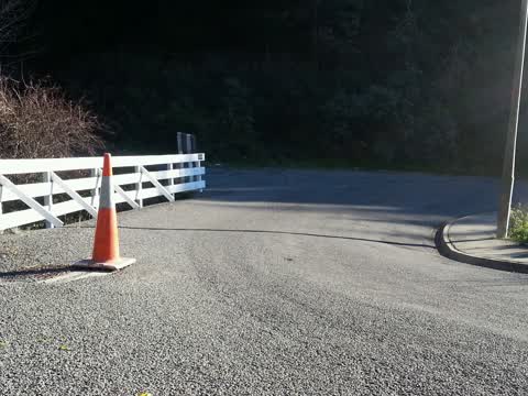
Reported here
 Overgrown Vegetation —
Overgrown vegetation in stormwater gutters.
 Street Cleaning —
Gutter very full of pine needles, flooding risk
 Dumped Rubbish —
Fly tipping garden waste here and just down the road a bit further too.
 Dumped Rubbish —
More fly tipping onto unused private property. Not asking council to fix, but believe checking and notifying land owners is appropriate.
 Dumped Rubbish —
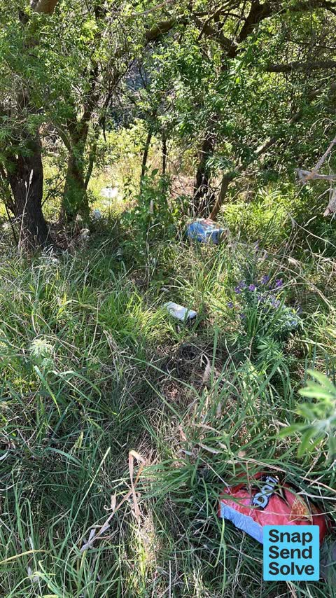
Someone appears to be fly tipping green rubbish into the overgrown section - 67 Holliss Ave. If only the owners looked after their section
 Roads - General —
Falling tree above the road
 Pothole —
Two pot holes on Holliss Ave
- Fallen Tree —
- Overgrown Vegetation —
- Street Gutters / Storm Water —
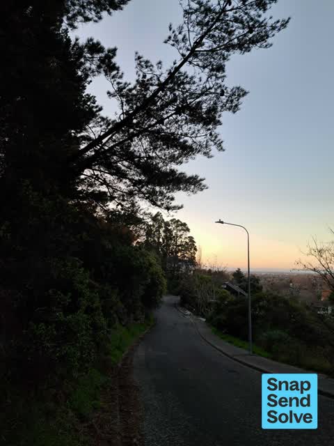
- Street Light Outage —
Roading/Streets —
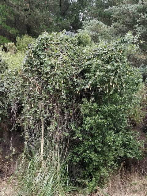
Banana passionfruit growing wild. I've heard this is a noxious weed and should be reported but not sure who to
Roading/Streets —
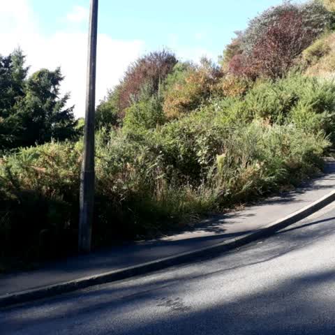
On other side of pavement from road. One pavement to use. There are a lot of bushes that encroach pavement. These bushes have very sharp n
Roading/Streets —
Road is too narrow for two cars on steep hairpin bend. Please relevel watercovet. Thanks
Also reported on Holliss Avenue
- 57 Holliss Avenue — 23 reports
- 13 Holliss Avenue — 20 reports
- 21 Holliss Avenue — 16 reports
- 35 Holliss Avenue — 10 reports
- 43 Holliss Avenue — 8 reports
- 126 Holliss Avenue — 7 reports
- 70 Holliss Avenue — 4 reports
- 39 Holliss Avenue — 4 reports
The street’s crash record
NZTA’s record names Holliss Avenue in 5 crashes that hurt somebody since 2006 — 2 seriously hurt, nobody killed.
The green nearby
- Longhurst Walkway — 320 m to the edge · 2 ha
- Holliss Reserve — 336 m to the edge · 1 ha
- Takahe Reserve — 434 m to the edge
- Cashmere Village Green — 472 m to the edge
- Cracroft Reserve — 474 m to the edge · Botanic · 3 ha
Parks within half a kilometre, measured to the boundary — the council’s open data.
On the doorstep
- New Zealand Fine Prints — 388 m away · Galleries
Businesses within four hundred metres, measured at the pin — OpenStreetMap and the council directories.
The bus nearby
- Hackthorne Rd near Westenra Tce — 430 m away · route 1
- Hackthorne Rd near Westenra Tce — 450 m away · route 1
The closest Metro stops, within four hundred and fifty metres.
The named ground
Named places within 1.5 km of this address; the council’s own structure register — bridges, boardwalks and steps standing nearby — the open map’s record.
Renting nearby
new bonds in Cashmere ran about $707 a week — $157 above the city median of $550 — the suburb page keeps the rent record →.
The civic layer
This ground votes in Cashmere ward — the Spreydon-Cashmere-Heathcote community board. Ward lines don’t always follow suburb lines; this one is measured at the pin, not the suburb’s centre.
What stood on this ground → · On the map → · From the air — the Crown’s aerials back to 1936; search the address on RetroLens →
Questions, answered briefly
14 council reports on record since June 2015 — most often roading/streets (3), dumped rubbish (3), overgrown vegetation (2).
Cashmere, Christchurch — on Holliss Avenue.
Nothing on the heritage register at this exact spot — the record around this ground →
Longhurst Walkway — 320 m to its edge, 2 ha.