1 Waipapa Avenue
10 council reports since November 2015, 9 carrying a photograph. The street’s heaviest record is 2i Waipapa Avenue, 44 reports on file.
From the air, then
Sourced from Canterbury Maps and partners. LINZ, CC BY 3.0 NZ. Each frame is cut from Environment Canterbury’s historic imagery MapServer for that decade, only where the Footprints layer names a CC BY survey (NZAM-covered spots stay out). RetroLens holds more Crown aerials →
The green nearby
- Stoddart Point Reserve, 55 m to the edge · 22 ha · playground, 7 pieces
- Coastal Cliff Reserve, 125 m to the edge · 18 ha
Parks within half a kilometre, measured to the boundary, the council’s open data. The whole roll is at /parks.
The civic shelf nearby
- Diamond Harbour Cemetery, 122 m away · Cemetery
- Diamond Harbour Library, 298 m away · Library
Libraries, halls and the rest within half a kilometre, the council’s open data.
On the doorstep
- Soulful Coffee, 195 m away · Cafés
- Diamond Harbour Eatery and Bar, 198 m away · Cafés
- Harbour Haze, 198 m away · Restaurants
- Flaunt Hair Design, 200 m away · Hairdressers
Businesses within four hundred metres, measured at the pin, OpenStreetMap and the council directories.
The bus nearby
- Diamond Harbour Jetty, 166 m away · the Diamond Harbour ferry
The closest Metro stops, within four hundred and fifty metres.
The named ground
Named water within 500 m of this address, measured to the line or the edge; Named places within 1.5 km of this address; the council’s own structure register, bridges, boardwalks and steps standing nearby, the open map’s record.
The remembered names nearby
- This Memorial Marks the 50th Anniversary of the End of WWII, 212 m away ·
THIS MEMORIAL MARKS THE 50TH ANNIVERSARY OF THE END OF WWII / (1939 - 1945) / D H COMMUNIT
· 2008
Inscribed plaques within two hundred and fifty metres, the register’s pins, not surveyed spots. The whole roll is at /plaques.
What gets reported here
Photographed here 9 on record


What’s on record
 Overgrown Vegetation, 5 Feb 2026
 this path is getting narrower and narrower
 Accessibility, 5 Sept 2024
 I sent similar photos to you on 23/07 & received a reply & Ticket number from CCC on 24/07 (#1170778) to say this problem would be sent to t
 Fallen Tree, 14 Dec 2023
 Large fallen tree completely covering pathway down to diamond harbour completely blocking access to the beach and a regular route used by pe
- Overgrown Vegetation, 4 Dec 2022
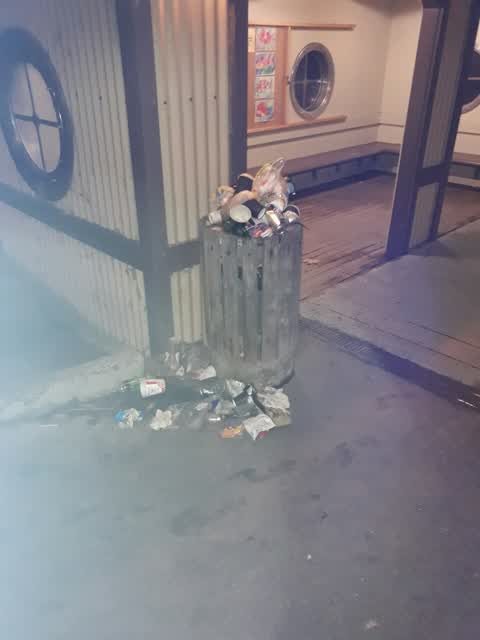
Rubbish/Recycling, 8 May 2017
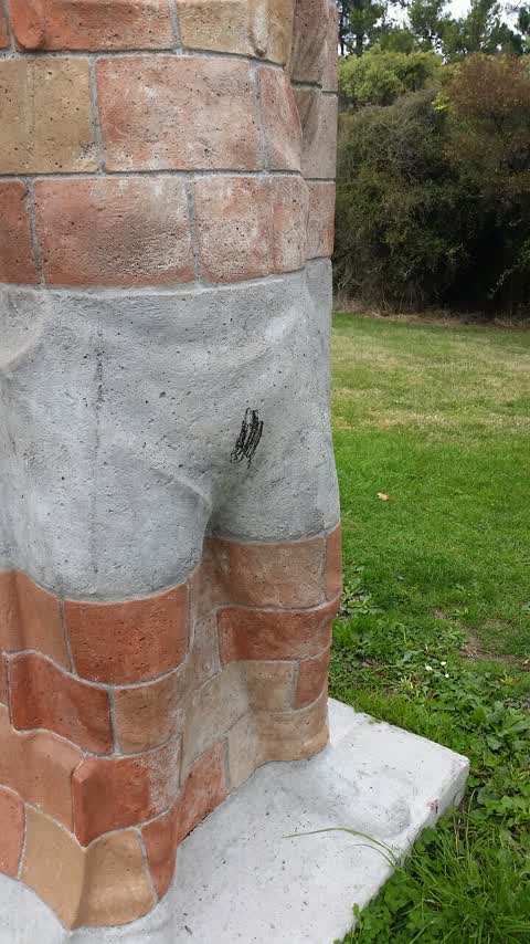
Graffiti, 20 Mar 2017
On sculpture
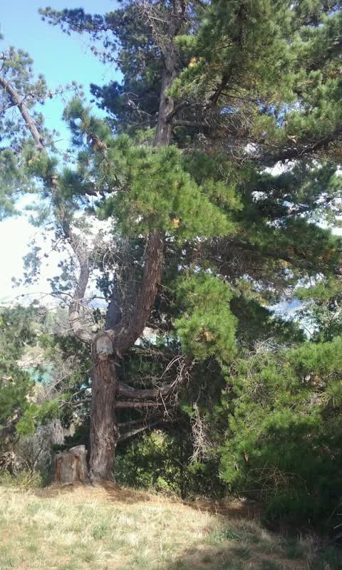
Parks, 9 Feb 2017
Dangerous trees. Some dropping branches in path to wars. Another roost lifting tree likely to fall
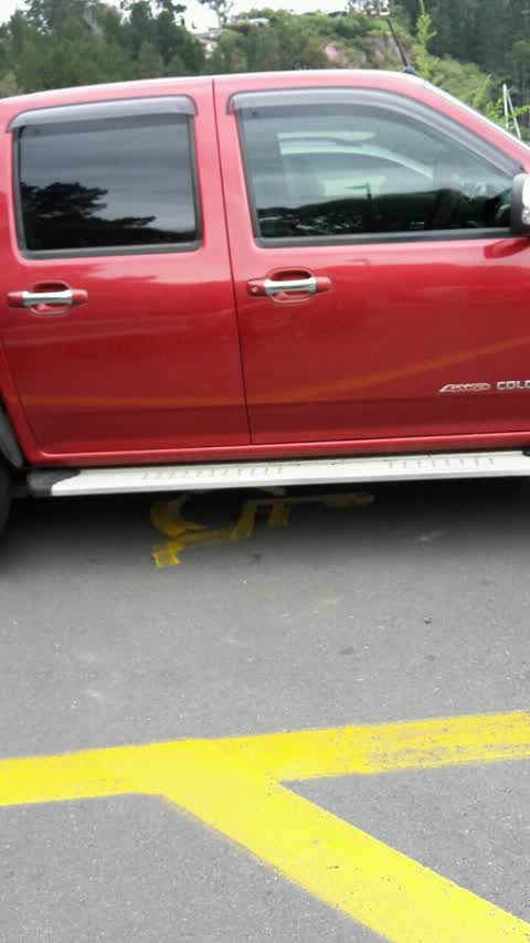
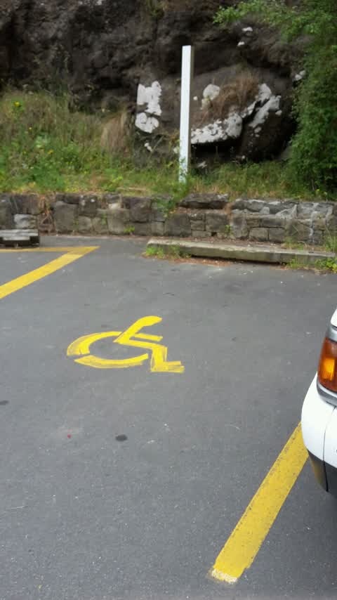
Roading/Streets, 7 Dec 2016
Mobility sign missing left side
Roading/Streets, 7 Dec 2016
Mobility sign missing right side
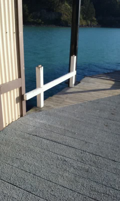
Rubbish/Recycling, 4 Nov 2015
Are the bins on the Diamond Harbour wharf coming back?
Elsewhere on Waipapa Avenue
- 2i Waipapa Avenue, 44 reports
- 2D Waipapa Avenue, 31 reports
- 2 Waipapa Avenue, 22 reports
- 2A Waipapa Avenue, 21 reports
- 2J Waipapa Avenue, 14 reports
- 1J Waipapa Avenue, 11 reports
- 6 Waipapa Avenue, 10 reports
- 2E Waipapa Avenue, 9 reports
The street’s crash record
NZTA’s record names Waipapa Avenue in 3 crashes that hurt somebody since 2006, 1 seriously hurt, nobody killed.
The civic layer
This ground votes in Banks Peninsula ward, the Banks Peninsula community board is its local layer. Ward lines don’t always follow suburb lines; this one is measured at the pin, not the suburb’s centre. The whole roll is at /wards.
Waipapa Avenue, the whole record → · Everything about Diamond Harbour → · What stood on this ground → · On the map → · From the air, RetroLens holds the Crown’s aerials back to 1936; search the address there →
Questions, answered briefly
10 council reports on record since November 2015, most often rubbish/recycling (2), roading/streets (2), overgrown vegetation (2).
Diamond Harbour, Christchurch, on Waipapa Avenue.
Nothing on the heritage register at this exact spot, the record around this ground →
Stoddart Point Reserve, 55 m to its edge, 22 ha.