177 Marine Drive
2 council reports since February 2022, 2 carrying a photograph. The street’s heaviest record is 425 Marine Drive, 17 reports on file.
The green nearby
- Church Bay Foreshore, 133 m to the edge · 3 ha
- James Drive Reserve, 313 m to the edge · playground, 8 pieces
- Coastal Cliff Reserve, 397 m to the edge · 18 ha
- Laurenson Park, 416 m to the edge
Parks within half a kilometre, measured to the boundary, the council’s open data. The whole roll is at /parks.
The civic shelf nearby
- Diamond Harbour Recycling Depot, 178 m away · Transfer station
Libraries, halls and the rest within half a kilometre, the council’s open data.
On the doorstep
- NPD Self Serve, 284 m away · No
- Diamond Harbour Gym, 292 m away · Gyms & fitness
- Two Thumb Harbourside, 305 m away · Bars & pubs
- Four Square, 331 m away · Supermarkets
Businesses within four hundred metres, measured at the pin, OpenStreetMap and the council directories.
The named ground
Named water within 500 m of this address, measured to the line or the edge; Named places within 1.5 km of this address, the open map’s record.
What gets reported here
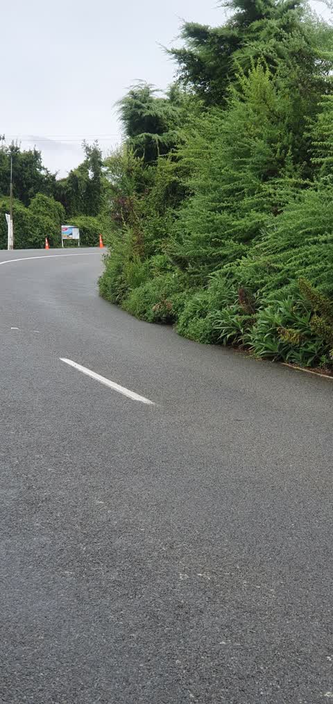
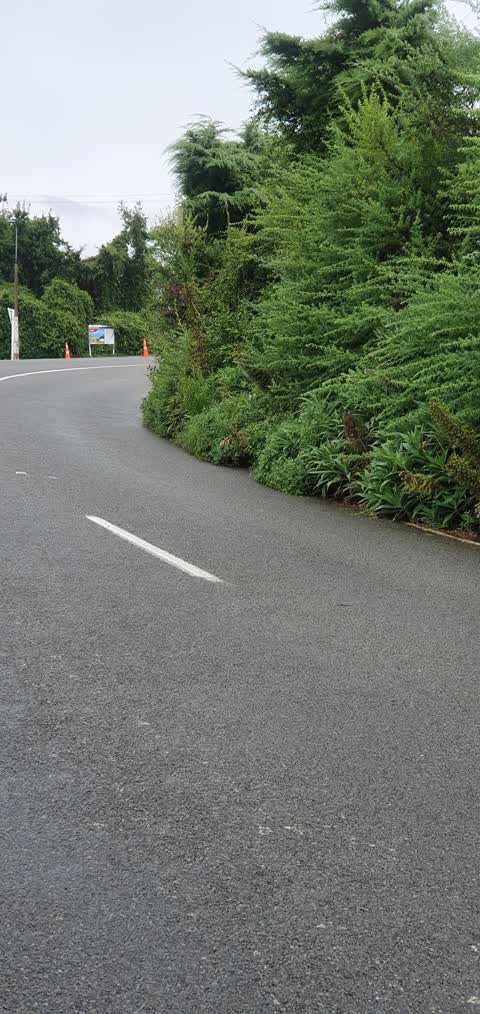
Photographed here 2 on record
What’s on record
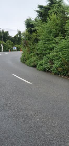 Roading/Streets, 1 Mar 2022
 I sent a report for this about 3 weeks ago (photo was already a week old by then) and still nothing has been done. it is making an already b
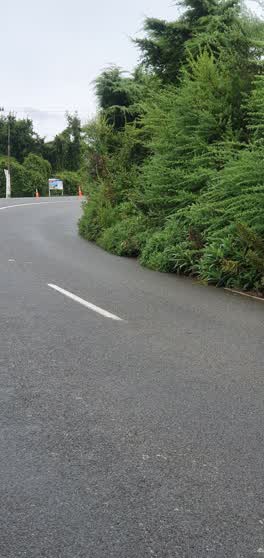 Roading/Streets, 16 Feb 2022
 the busses are very overgrown and making a blind corner even more unsafe. this photo was taken 2 weeks ago so it is worse now and you can't
Elsewhere on Marine Drive
- 425 Marine Drive, 17 reports
- 134 Marine Drive, 8 reports
- 115 Marine Drive, 8 reports
- 166 Marine Drive, 7 reports
- 139 Marine Drive, 7 reports
- 401 Marine Drive, 6 reports
- 36 Marine Drive, 6 reports
- 20 Marine Drive, 6 reports
The street’s crash record
NZTA’s record names Marine Drive in 18 crashes that hurt somebody since 2006, 5 seriously hurt, nobody killed.
The civic layer
This ground votes in Banks Peninsula ward, the Banks Peninsula community board is its local layer. Ward lines don’t always follow suburb lines; this one is measured at the pin, not the suburb’s centre. The whole roll is at /wards.
Marine Drive, the whole record → · Everything about Diamond Harbour → · What stood on this ground → · On the map → · From the air, RetroLens holds the Crown’s aerials back to 1936; search the address there →
Questions, answered briefly
2 council reports on record since February 2022, most often roading/streets (2).
Diamond Harbour, Christchurch, on Marine Drive.
Nothing on the heritage register at this exact spot, the record around this ground →
Church Bay Foreshore, 133 m to its edge, 3 ha.