20B 20B
4 council reports since March 2021, 4 carrying a photograph.
On the register here
- Dwelling and Setting, Stoddart's Cottage, 18 Purau Avenue (247m)
From the air, then
Sourced from Canterbury Maps and partners. LINZ, CC BY 3.0 NZ. Each frame is cut from Environment Canterbury’s historic imagery MapServer for that decade, only where the Footprints layer names a CC BY survey (NZAM-covered spots stay out). RetroLens holds more Crown aerials →
The green nearby
- Stoddart Point Reserve, you are in it · 22 ha · playground, 7 pieces
Parks within half a kilometre, measured to the boundary, the council’s open data. The whole roll is at /parks.
The civic shelf nearby
- Diamond Harbour Cemetery, 90 m away · Cemetery
- Diamond Harbour Library, 282 m away · Library
Libraries, halls and the rest within half a kilometre, the council’s open data.
On the doorstep
- Diamond Harbour & Bays Bowling Club, 100 m away · Clubs
- Stoddart Cottage, 214 m away · Galleries
- Flaunt Hair Design, 231 m away · Hairdressers
- Harbour Haze, 247 m away · Restaurants
Businesses within four hundred metres, measured at the pin, OpenStreetMap and the council directories.
The named ground
Named places within 1.5 km of this address; the council’s own structure register, bridges, boardwalks and steps standing nearby, the open map’s record.
The remembered names nearby
- Diamond Harbour Cemetery plaque, 156 m away · 2025
- Tree Planted in Memory, 164 m away ·
TREE PLANTED IN MEMORY OF ... (plaque partially obscured)
· 2008 - In Memory of a Special Lady / Glenys Marilyn Martin, 164 m away ·
In memory of a special lady / GLENYS MARILYN MARTIN / 19-1-1940 to 27-4-2012 / Loved Wife,
· 2012
Inscribed plaques within two hundred and fifty metres, the register’s pins, not surveyed spots. The whole roll is at /plaques.
What gets reported here
- Parks, 2
- Roading/Streets, 1
- Graffiti, 1
Photographed here 4 on record
What’s on record
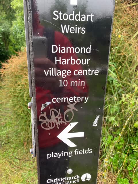
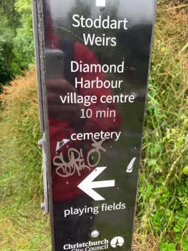 Graffiti, 28 Dec 2021
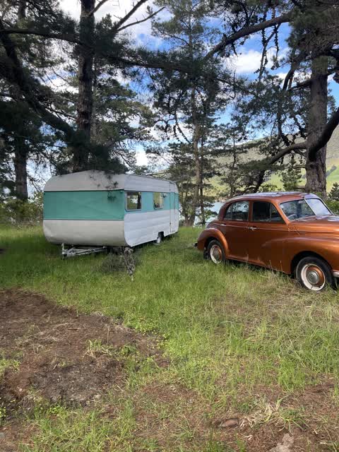
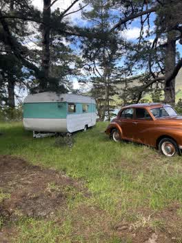 Roading/Streets, 17 Oct 2021
 Someone has set up a caravan in the reserve
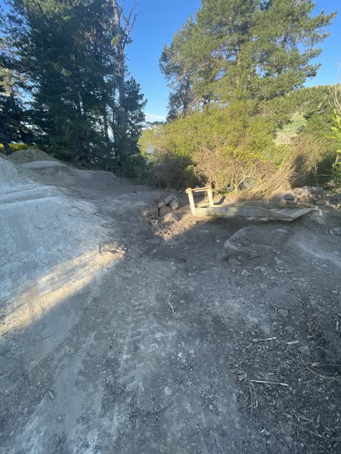
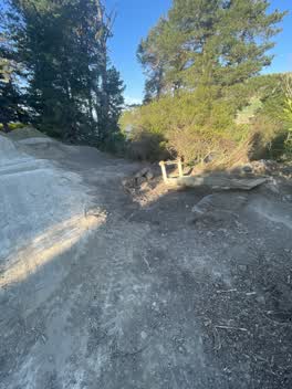 Parks, 26 Sept 2021
 It appear that someone has dug park land to make bike jumps and created ramps which are a hazard for young children. What approval and safet
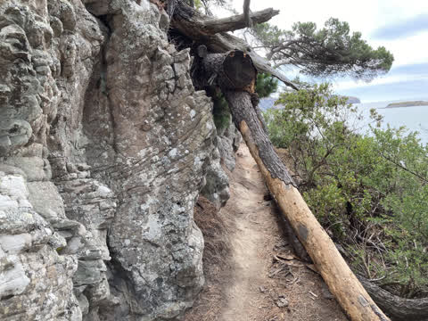
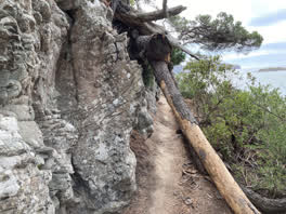 Parks, 10 Mar 2021
 Large rotting tree suspended precariously above the walking track frequented by school groups around the diamond harbour to purau bay coast
The civic layer
This ground votes in Banks Peninsula ward, the Banks Peninsula community board is its local layer. Ward lines don’t always follow suburb lines; this one is measured at the pin, not the suburb’s centre. The whole roll is at /wards.
Everything about Diamond Harbour → · What stood on this ground → · On the map → · From the air, RetroLens holds the Crown’s aerials back to 1936; search the address there →
Questions, answered briefly
4 council reports on record since March 2021, most often parks (2), roading/streets (1), graffiti (1).
Diamond Harbour, Christchurch, on B.
The heritage register names a place at or beside it, Dwelling and Setting, Stoddart's Cottage.
Stoddart Point Reserve, the address is inside it, 22 ha.