19 Seafield Road
4 council reports since October 2020, 4 carrying a photograph. The most-reported address on Seafield Road.
The green nearby
- Duvauchelle Reserve And Campground, you are in it · Sports ground · 3 ha · playground, 41 pieces
- Duvauchelle Domain Esplanade Strip, 89 m to the edge
- Duvauchelle Reserve, 446 m to the edge · playground, 41 pieces
Parks within half a kilometre, measured to the boundary, the council’s open data. The whole roll is at /parks.
On the doorstep
- Duvauchelle Holiday Park, 67 m away · Campgrounds
- Boat houses, 319 m away · Attractions
Businesses within four hundred metres, measured at the pin, OpenStreetMap and the council directories.
The named ground
Named water within 500 m of this address, measured to the line or the edge; Named places within 1.5 km of this address; the council’s own structure register, bridges, boardwalks and steps standing nearby, the open map’s record.
What gets reported here
- Roads - General, 1
- Roading/Streets, 1
- Pothole, 1
- General Request, 1
Photographed here 4 on record


What’s on record
 General Request, 11 Sept 2025
 Just want to give positive feedback to the guy who has been using the roadsweeper and blower and broom all day to clear the road of debris w
 Pothole, 17 Mar 2025
 Multiple potholes on road just outside the Duvauchelle Holiday Park.
 Roading/Streets, 27 Jun 2021
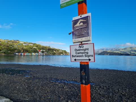
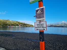
 No camping signs seems to conflict with info on freedom camping on CCC website. Are these signs legitimate and okay? it would. e helpful if
 Roads - General, 1 Oct 2020
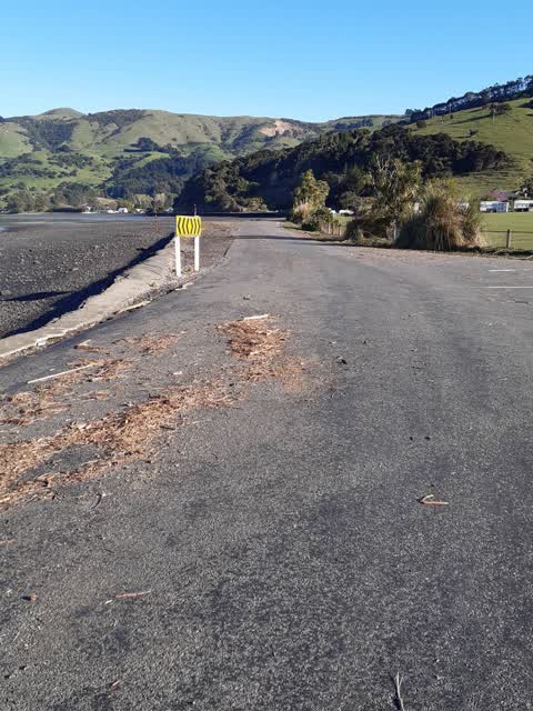
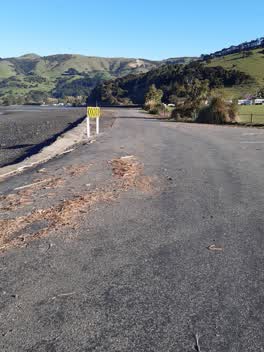
 storm debris on road needs clearing
Elsewhere on Seafield Road
- 21 Seafield Road, 4 reports
- 35 Seafield Road, 3 reports
- 27 Seafield Road, 2 reports
- 37 Seafield Road, 1 report
- 31 Seafield Road, 1 report
- 17 Seafield Road, 1 report
- 11 Seafield Road, 1 report
- 1-3 Seafield Road, 1 report
The street’s crash record
NZTA’s record names Seafield Road in 1 crash that hurt somebody since 2006, 0 seriously hurt, nobody killed.
The civic layer
This ground votes in Banks Peninsula ward, the Banks Peninsula community board is its local layer. Ward lines don’t always follow suburb lines; this one is measured at the pin, not the suburb’s centre. The whole roll is at /wards.
Seafield Road, the whole record → · Everything about Duvauchelle → · What stood on this ground → · On the map → · From the air, RetroLens holds the Crown’s aerials back to 1936; search the address there →
Questions, answered briefly
4 council reports on record since October 2020, most often roads - general (1), roading/streets (1), pothole (1).
Duvauchelle, Christchurch, on Seafield Road.
Nothing on the heritage register at this exact spot, the record around this ground →
Duvauchelle Reserve And Campground, the address is inside it, 3 ha.