48A 48A, Fendalton
12 reports on record since August 2017 · 12 with photographs. Indicative rating valuation and school zones, hazards, bin day and what stood here before.
What gets reported here
- Rubbish/Recycling — 4
- Parks — 4
- Graffiti — 2
- Roading/Streets — 1
- General Request — 1
Photographed here 12 on record
Reported here
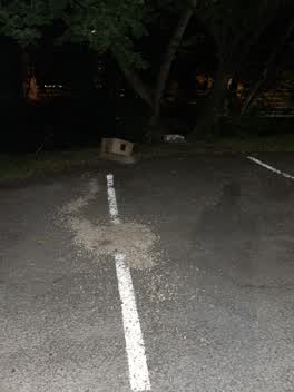 Parks —
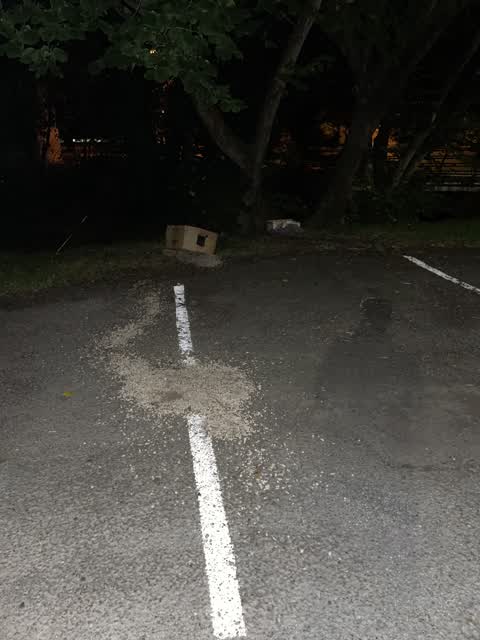
 Dumped stones boxes. Waimari river. Entrance to fendalton park
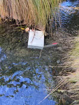 General Request —
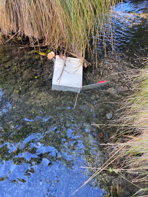
 This is a safe! Opened and in the river beside bridge Kotare end of Fendalton park
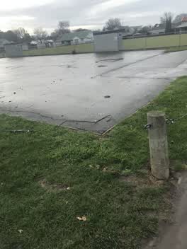 Parks —
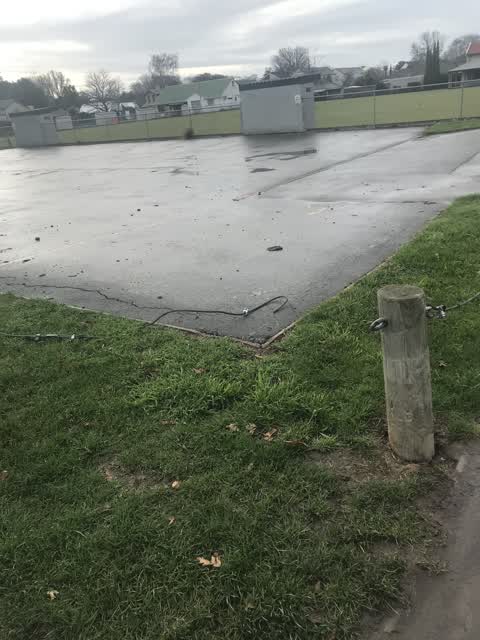
 Briken wire allowing car access to park
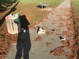 Rubbish/Recycling —
 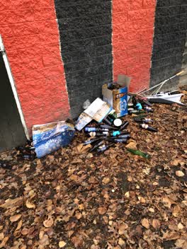 Parks —
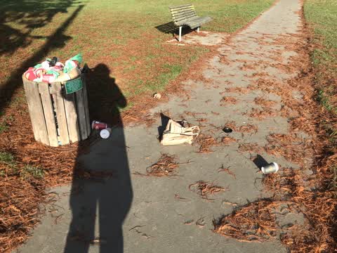
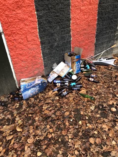
 Rubbish
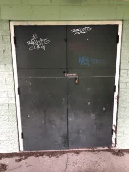 Graffiti —
 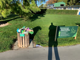 Rubbish/Recycling —
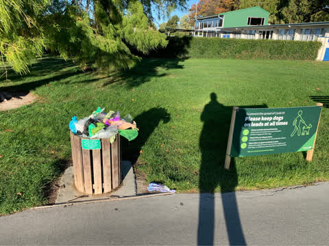
 Bin overflowing with dog poo
Rubbish/Recycling —
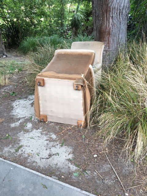
2 armchairs dumped by stream behind Fendalton Bowling Club.
Parks —
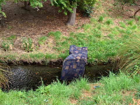
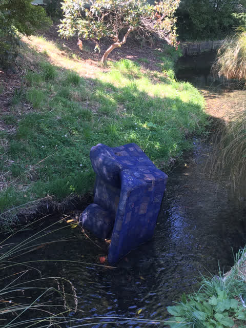
Old couch in the Waimari stream
Rubbish/Recycling —
An armchair has been dumped in the stream.
Graffiti —
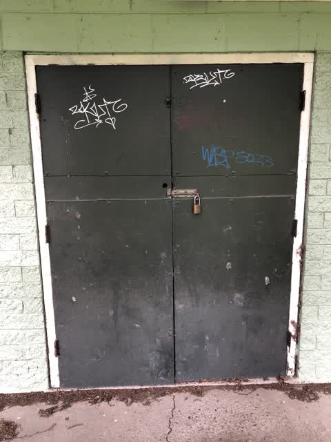
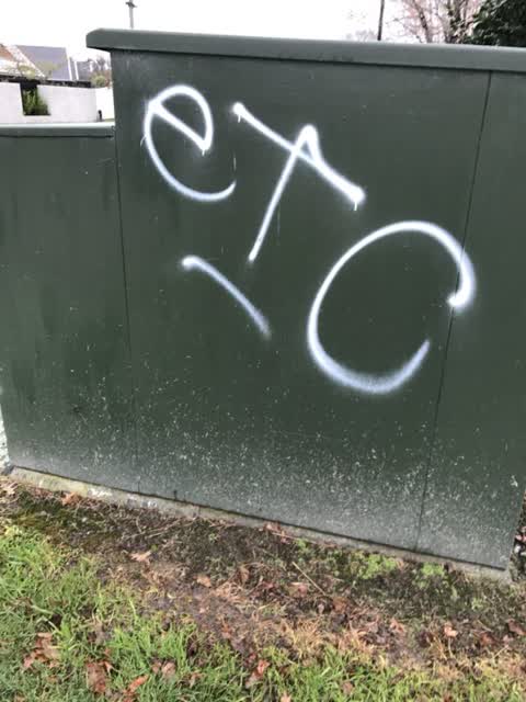
Orion box
Roading/Streets —
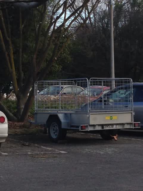
Hello is a private trailer allowed to permanently take a space in a public car park?
The street it is on
The green nearby
- Fendalton Park — you are in it · Sports ground · 5 ha
Parks within half a kilometre, measured to the boundary — the council’s open data.
On the doorstep
- Fendalton Bowling Club — 81 m away · Sports centres
- Fendalton Park Croquet Club — 128 m away · Sports centres
- Bowls Canterbury — 184 m away · Sports centres
- Fendalton House B&B — 267 m away · B&Bs
Businesses within four hundred metres, measured at the pin — OpenStreetMap and the council directories.
The bus nearby
- Kotare St near Medbury Tce — 57 m away · route 130
- Kotare St near Medbury Tce — 72 m away · route 130
The closest Metro stops, within four hundred and fifty metres.
The tracks through here
- Walk and bike track through Fendalton — 42 m to the line · walk · bike
- Walk and bike track through Fendalton — 55 m to the line · walk · bike
- Walk and bike track through Fendalton — 67 m to the line · walk · bike
- Walk and bike track through Fendalton — 195 m to the line · walk · bike
- Walk and bike track through Fendalton — 259 m to the line · walk · bike
Tracks whose line passes within half a kilometre, measured to the line itself — the council’s open data.
The named ground
Named water within 500 m of this address, measured to the line or the edge; Named places within 1.5 km of this address; the council’s own structure register — bridges, boardwalks and steps standing nearby — the open map’s record.
Renting nearby
new bonds in Fendalton ran about $618 a week — $68 above the city median of $550 — the suburb page keeps the rent record →.
What was here — Dwelling and Setting, Avonhoe
144 m away · 4 Medbury Terrace · located to ±14 m · the place’s own record →
On the register. Nothing researched here yet.
The civic layer
This ground votes in Fendalton ward — the Fendalton-Waimairi-Harewood community board. Ward lines don’t always follow suburb lines; this one is measured at the pin, not the suburb’s centre.
What stood on this ground → · On the map → · From the air — the Crown’s aerials back to 1936; search the address on RetroLens →
Questions, answered briefly
12 council reports on record since August 2017 — most often rubbish/recycling (4), parks (4), graffiti (2).
Fendalton, Christchurch — on A.
The heritage register names a place at or beside it — Dwelling and Setting, Avonhoe.
Fendalton Park — the address is inside it, 5 ha.