10 Church Lane, Governors Bay
12 reports on record since March 2018 · 11 with photographs. The most-reported address on Church Lane. Indicative rating valuation and school zones, hazards, bin day and what stood here before.
What gets reported here
- Graffiti — 5
- Hazard — vehicle — 2
- Road Signage — 1
- Poles and Signage - General — 1
- Parks — 1
- Fallen Tree — 1
Photographed here 11 on record


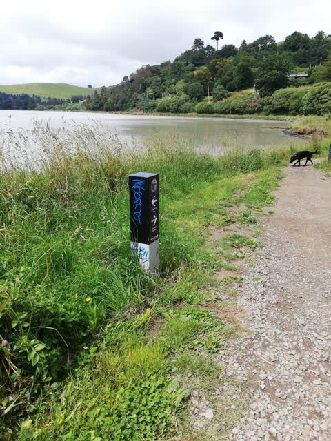
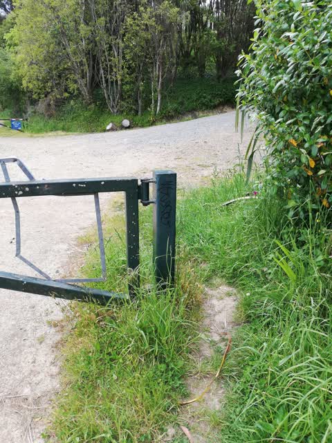
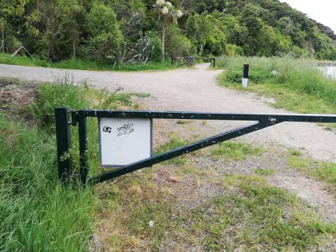
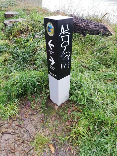
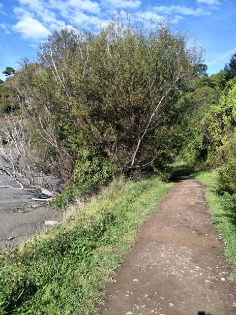
Reported here
 Road Signage —
 Abandoned road sign - been here a couple of months
 Poles and Signage - General —
 Abandoned road sign
 Fallen Tree —
 Not blocking any immediate access
 Facility - General Request —
 The Allandale track needs more shingle on it please.
 Hazard — vehicle —
 Frequent freedom camping @ the bottom of Church Lane by this car. Using the bushes as a toilet!
 Hazard — vehicle —
 This car has been parked here as well as the summit road between the top of Evans Pass and Godley Head this week. I have noticed it whilst o
- Graffiti —
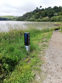 Graffiti —
 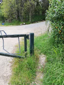 Graffiti —
 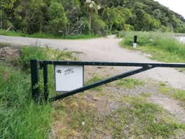 Graffiti —
 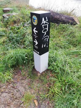 Graffiti —
 KASM
Parks —
Massive wasp nest in a tree on the goveners bay track.
Also reported on Church Lane
- 11 Church Lane — 2 reports
- 1–13 Church Lane — 1 report
The street’s crash record
NZTA’s record names Church Lane in 3 crashes that hurt somebody since 2006 — 1 person killed, 2 seriously hurt.
The named ground
Named places within 1.5 km of this address; the council’s own structure register — bridges, boardwalks and steps standing nearby — the open map’s record.
What was here — Bridge/Culvert and Setting
63 m away · located to ±5 m · the place’s own record →
On the register. Nothing researched here yet.
What was here — Dwelling and Setting, Ohinetahi
186 m away · 31 Governors Bay - Teddington Road · located to ±24 m · the place’s own record →
On the register. Nothing researched here yet.
What was here — St Cuthberts Vicarage
218 m away · 8 Governors Bay - Teddington Road · located to ±11 m · the place’s own record →
On the register. Nothing researched here yet.
What was here — St Cuthbert's Church and Setting
234 m away · located to ±10 m · the place’s own record →
On the register. Nothing researched here yet.
The civic layer
This ground votes in Banks Peninsula ward — the Banks Peninsula community board. Ward lines don’t always follow suburb lines; this one is measured at the pin, not the suburb’s centre.
What stood on this ground → · On the map → · From the air — the Crown’s aerials back to 1936; search the address on RetroLens →
Questions, answered briefly
12 council reports on record since March 2018 — most often graffiti (5), hazard — vehicle (2), road signage (1).
Governors Bay, Christchurch — on Church Lane.
The heritage register names 4 places at or beside it — Bridge/Culvert and Setting, Dwelling and Setting, Ohinetahi.