16 Denali Street, Halswell
14 reports on record since October 2021 · 11 with photographs. The most-reported address on Denali Street. Indicative rating valuation and school zones, hazards, bin day and what stood here before.
What gets reported here
Photographed here 11 on record


Reported here
 Graffiti on a playground or in a park —
 graffiti on block wall at skate park
 Overgrown Vegetation —
 Please mow and weed knighstream bike park. We cannot sit on the grass with babies
 Overgrown Vegetation —
 These are become a hazard as summer warms up. Can the council please look to keep these under control
 Graffiti on a fence, building or structure —
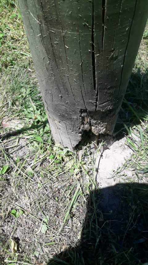
 grafitti sticker on stop sign at children bike circuit
 Graffiti on a playground or in a park —
  Overgrown Vegetation —
 Maintenance required around children’s cycle track including removal of convulvalus
- Dumped Rubbish —
- Public Toilet —
- Pavement - General —
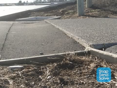
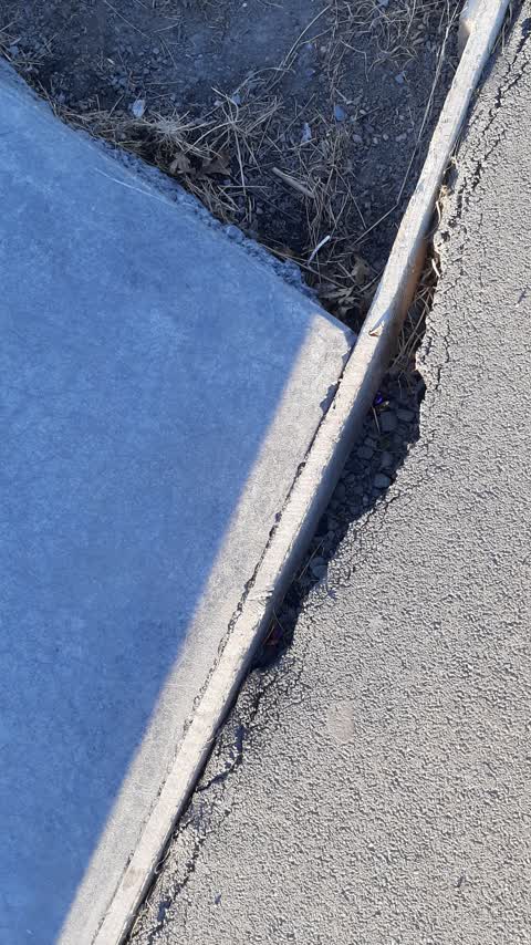
 Pavement - Damaged —
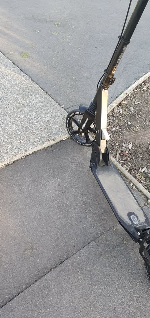
 Child fell from scooter due to cracks at bike park
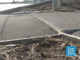 Roading/Streets —
 Large lip in the footpath on the SE corner of the skate park. Looks like a drainage pipe has cause the path to subside. Watched a scooter ri
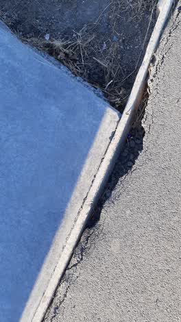 Parks —
 Nasty broken surface on the skate park exit, someone will get hurt!
Parks —
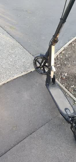 Roading/Streets —
 My son fell off his scooter where the footpath is uneven.
Also reported on Denali Street
- 2 Denali Street — 6 reports
- 11 Denali Street — 4 reports
- 9 Denali Street — 3 reports
- 16R Denali Street — 3 reports
- 1 Denali Street — 3 reports
- 9R Denali Street — 2 reports
- 6 Denali Street — 2 reports
- 4 Denali Street — 2 reports
The green nearby
- Carrs Reserve — 476 m to the edge · Sports ground · 13 ha
Parks within half a kilometre, measured to the boundary — the council’s open data.
On the doorstep
- Cafe Allwood — 179 m away · Cafés
Businesses within four hundred metres, measured at the pin — OpenStreetMap and the council directories.
The bus nearby
The closest Metro stops, within four hundred and fifty metres.
The named ground
Named water within 500 m of this address, measured to the line or the edge; Named places within 1.5 km of this address; the council’s own structure register — bridges, boardwalks and steps standing nearby — the open map’s record.
Renting nearby
new bonds in Halswell ran about $697 a week — $147 above the city median of $550 — the suburb page keeps the rent record →.
The civic layer
This ground votes in Halswell ward — the Halswell-Hornby-Riccarton community board. Ward lines don’t always follow suburb lines; this one is measured at the pin, not the suburb’s centre.
What stood on this ground → · On the map → · From the air — the Crown’s aerials back to 1936; search the address on RetroLens →
Questions, answered briefly
14 council reports on record since October 2021 — most often overgrown vegetation (3), roading/streets (2), parks (2).
Halswell, Christchurch — on Denali Street.
Nothing on the heritage register at this exact spot — the record around this ground →
Carrs Reserve — 476 m to its edge, 13 ha.