32 James Hight Drive, Halswell
13 reports on record since February 2021 · 10 with photographs. The most-reported address on James Hight Drive. Indicative rating valuation and school zones, hazards, bin day and what stood here before.
What gets reported here
Photographed here 10 on record


Reported here
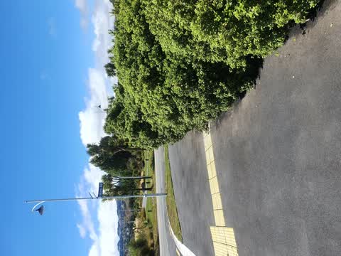
 Road Signage,
 Traffic signs (blue arrows) on the middle strip have been smashed out by trucks using the detour. James Hight Drive, Milns Rd end.
 Road Signage,
 these were covered during works but haven't been changed back
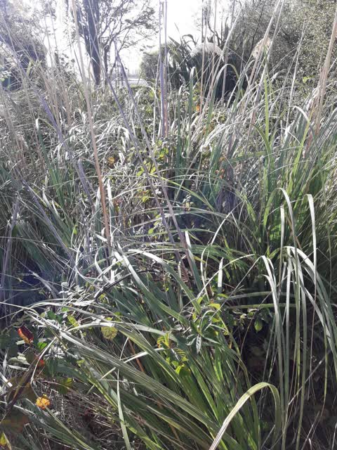
 Overgrown Vegetation,
 Bushes are overgrown & neglected, impacting visibility for the many cyclists & dog walkers on the corner. Bush has engulfed beautiful stone
 Road Signage,
 Lying on road needs collecting
 Trees - General,
 A mass of cabbage tree/ ti kouka leaves has been tidied into a pile under a cabbage tree on council land, near footpath. James Hight Drive,
 Road Signage,
 30kph / 50kph sign been twisted
 General Request,
 There is a wasp nest here and unable to finish cutting bush due to being stung.
 Dumped Rubbish,
 - Water Leak,
- Pavement - General,
- Graffiti,
 Parks,
 BlackBerry needs removing
 Parks,
 wasp nest on footpath/hedging corner of milns road and James hight drive
Also reported on James Hight Drive
- 29 James Hight Drive, 4 reports
- 2 James Hight Drive, 4 reports
- 6 James Hight Drive, 1 report
- 5 James Hight Drive, 1 report
- 4 James Hight Drive, 1 report
- 30 James Hight Drive, 1 report
- 3 James Hight Drive, 1 report
- 23 James Hight Drive, 1 report
From the air, then
Sourced from Canterbury Maps and partners. RNZAF, CC BY 3.0 NZ. Each frame is cut from Environment Canterbury’s historic imagery MapServer for that decade, only where the Footprints layer names a CC BY survey (NZAM-covered spots stay out). RetroLens holds more Crown aerials →
The street’s crash record
NZTA’s record names James Hight Drive in 3 crashes that hurt somebody since 2006, 0 seriously hurt, nobody killed.
The green nearby
- Milns Reserve, 6 m to the edge
- John Olliver Reserve, 10 m to the edge · 2 ha
- Milns Drainage Reserve, 26 m to the edge · 1 ha
- Forgan Reserve, 206 m to the edge
- Cridland Drainage Reserve, 265 m to the edge
Parks within half a kilometre, measured to the boundary, the council’s open data.
On the doorstep
- Banbury Park Village, 334 m away · Business
Businesses within four hundred metres, measured at the pin: OpenStreetMap and the council directories.
The tracks through here
- Walk and bike track through Halswell, 33 m to the line · walk · bike
Tracks whose line passes within half a kilometre, measured to the line itself, the council’s open data.
The named ground
Named water within 500 m of this address, measured to the line or the edge; the council’s own structure register, bridges, boardwalks and steps standing nearby, the open map’s record.
Renting nearby
new bonds in Halswell ran about $697 a week, $147 above the city median of $550, the suburb page keeps the rent record →.
The civic layer
This ground votes in Halswell ward, the Halswell-Hornby-Riccarton community board. Ward lines don’t always follow suburb lines; this one is measured at the pin, not the suburb’s centre.
What stood on this ground → · On the map → · From the air, the Crown’s aerials back to 1936; search the address on RetroLens →
Questions, answered briefly
13 council reports on record since February 2021, most often road signage (4), parks (2), water leak (1).
Halswell, Christchurch, on James Hight Drive.
Nothing on the heritage register at this exact spot, the record around this ground →
Milns Reserve, 6 m to its edge.