385 Sawyers Arms Road, Harewood
14 reports on record since February 2022 · 8 with photographs. The street’s heaviest record is 575 Sawyers Arms Road — 15 reports on file. Indicative rating valuation and school zones, hazards, bin day and what stood here before.
What gets reported here
Photographed here 8 on record
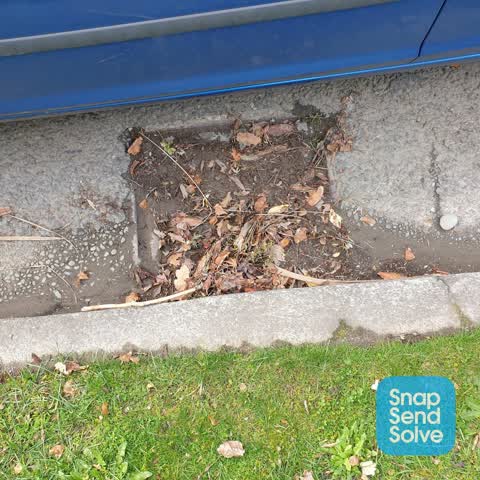

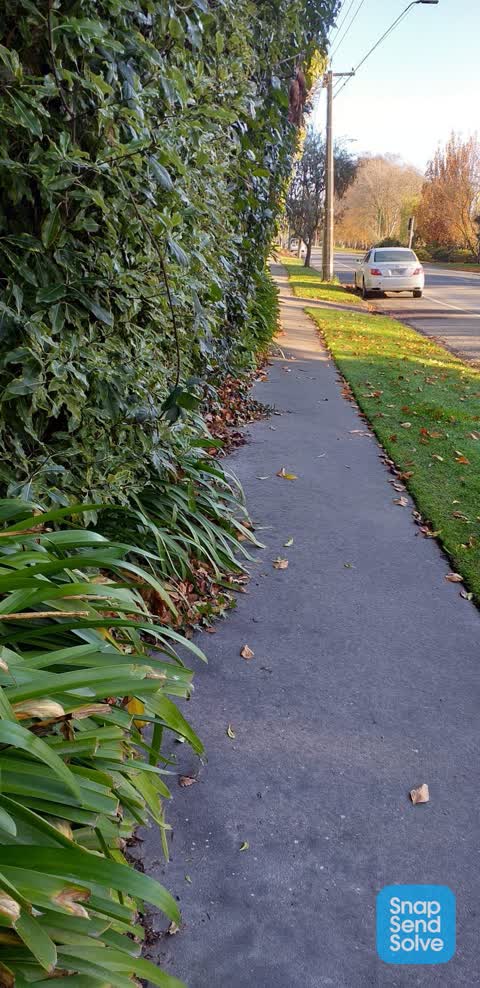
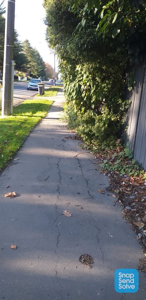
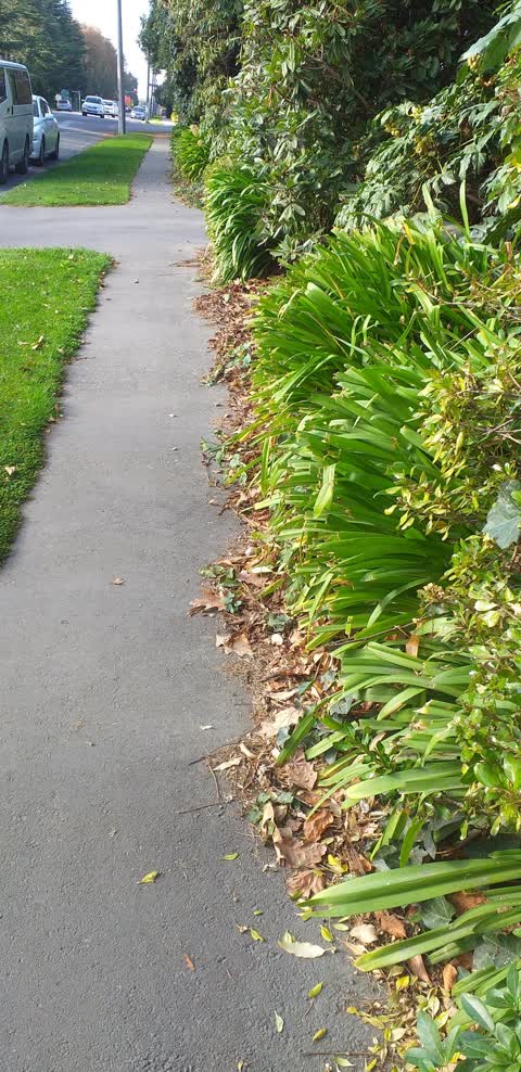
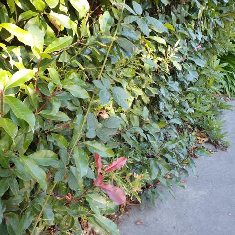
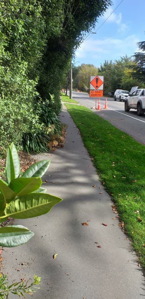
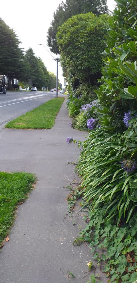
Reported here
- Pavement - General —
- Street Gutters / Storm Water —
- Street Gutters / Storm Water —
- Overgrown Vegetation —
- Overgrown Vegetation —
- Pavement - General —
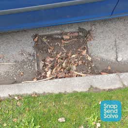 Street Cleaning —
 2 more blocked drains plus a small pile of rubbish on the berm near them.
 Overgrown Vegetation —
 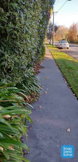 Roading/Streets —
 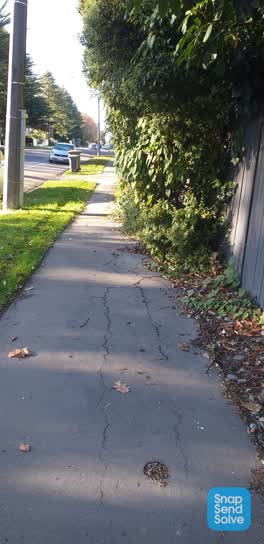 Roading/Streets —
 Still not done
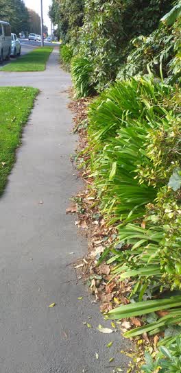 Roading/Streets —
 Footpath obstruction
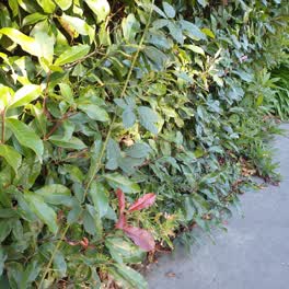 Roading/Streets —
 Footpath is blocked with vegetation and weeds from the property.
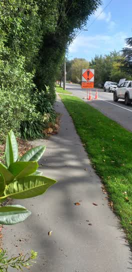 Roading/Streets —
 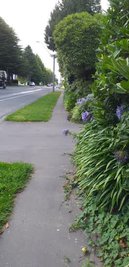 Roading/Streets —
 Over hanging footpath
Also reported on Sawyers Arms Road
- 575 Sawyers Arms Road — 15 reports
- 550 Sawyers Arms Road — 8 reports
- 555 Sawyers Arms Road — 7 reports
- 386 Sawyers Arms Road — 7 reports
- 533 Sawyers Arms Road — 5 reports
- 466 Sawyers Arms Road — 5 reports
- 387 Sawyers Arms Road — 5 reports
- 530d Sawyers Arms Road — 4 reports
The street’s crash record
NZTA’s record names Sawyers Arms Road in 51 crashes that hurt somebody since 2006 — 2 people killed, 7 seriously hurt.
The green nearby
- Natalie Reserve — 252 m to the edge
- Crofton Reserve — 359 m to the edge
Parks within half a kilometre, measured to the boundary — the council’s open data.
On the doorstep
- jo kundan homestay — 255 m away · Guest houses
Businesses within four hundred metres, measured at the pin — OpenStreetMap and the council directories.
The bus nearby
- Gardiners Rd near Sawyers Arms Rd — 334 m away · route 107
- Gardiners Road near Cullahill Street — 338 m away · route 27
The closest Metro stops, within four hundred and fifty metres.
The named ground
the council’s own structure register — bridges, boardwalks and steps standing nearby — the open map’s record.
The civic layer
This ground votes in Harewood ward — the Fendalton-Waimairi-Harewood community board. Ward lines don’t always follow suburb lines; this one is measured at the pin, not the suburb’s centre.
What stood on this ground → · On the map → · From the air — the Crown’s aerials back to 1936; search the address on RetroLens →
Questions, answered briefly
14 council reports on record since February 2022 — most often roading/streets (6), overgrown vegetation (3), street gutters / storm water (2).
Harewood, Christchurch — on Sawyers Arms Road.
Nothing on the heritage register at this exact spot — the record around this ground →
Natalie Reserve — 252 m to its edge.