4 Whitchurch Place
9 council reports since September 2019, 7 carrying a photograph. The most-reported address on Whitchurch Place.
On the register here
- St James' Church and Setting, 750 Harewood Road (117m)
- St James' Church Lychgate and Setting, 750 Harewood Road (136m)
- St James' Church Graveyard (154m)
From the air, then
Sourced from Canterbury Maps and partners. LINZ, CC BY 3.0 NZ. Each frame is cut from Environment Canterbury’s historic imagery MapServer for that decade, only where the Footprints layer names a CC BY survey (NZAM-covered spots stay out). RetroLens holds more Crown aerials →
On the doorstep
- St James Bed and Breakfast, 80 m away · B&Bs
- Asian Garden Cooking School, 170 m away · Restaurants
- Triple MMM Importing, 170 m away · Bottle stores
- Cafe Raeward, 276 m away · Cafés
Businesses within four hundred metres, measured at the pin, OpenStreetMap and the council directories.
The bus nearby
- Harewood Rd near Waimakariri Rd, 110 m away · route 8, route 125
- Harewood Rd near Waimakariri Rd, 115 m away · route 8, route 125
The closest Metro stops, within four hundred and fifty metres.
The tracks through here
- Walk and bike track through Harewood, 169 m to the line · walk · bike
- Walk and bike track through Harewood, 277 m to the line · walk · bike
- Walk and bike track through Harewood, 341 m to the line · walk · bike
- Walk and bike track through Harewood, 387 m to the line · walk · bike
Tracks whose line passes within half a kilometre, the council’s open data.
What gets reported here
Photographed here 7 on record



What’s on record
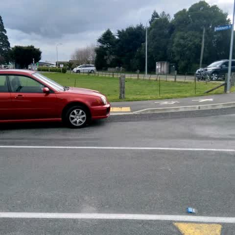
 Road Signage, 16 Mar 2026
 No stopping sign is missing.
 Damaged Asset – CCC contractor, 1 Aug 2025
 NORMAL
 Overgrown Vegetation, 15 Jan 2025
 Overgrown vegetation, meaning that the cycle footpath sign is half covered up
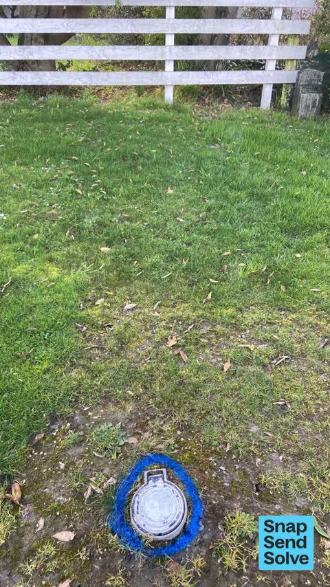
 Water General, 19 Feb 2024
 Fire hydrant can not be used as it has some sort of water meter attached. Needs removing.
 Poles and Signage - General, 10 Feb 2024
 The sign for the cycle way to cross under the motor way towards the airport is covered by the hedge and the footpath signage is unclear too
- Dumped Rubbish, 2 Jun 2023
- Water General, 10 Apr 2023
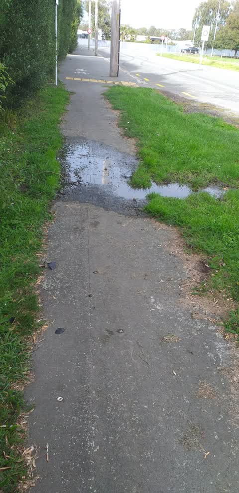
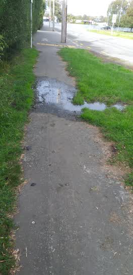 Water Leak, 9 Apr 2022
 Will the council accept responsibility for this leak becoming a health and safety issue now that there are starting to be frosty mornings
Roading/Streets, 9 Sept 2019
Could you please paint some yellow lines in front of the kerb cutdown.
Elsewhere on Whitchurch Place
- 7 Whitchurch Place, 8 reports
- 10 Whitchurch Place, 5 reports
- 8 Whitchurch Place, 4 reports
- 12 Whitchurch Place, 4 reports
The street’s crash record
NZTA’s record names Whitchurch Place in 1 crash that hurt somebody since 2006, 1 seriously hurt, nobody killed.
The civic layer
This ground votes in Harewood ward, the Fendalton-Waimairi-Harewood community board is its local layer. Ward lines don’t always follow suburb lines; this one is measured at the pin, not the suburb’s centre. The whole roll is at /wards.
Whitchurch Place, the whole record → · Everything about Harewood → · What stood on this ground → · On the map → · From the air, RetroLens holds the Crown’s aerials back to 1936; search the address there →
Questions, answered briefly
9 council reports on record since September 2019, most often water general (2), water leak (1), roading/streets (1).
Harewood, Christchurch, on Whitchurch Place.
The heritage register names 3 places at or beside it, St James' Church and Setting, St James' Church Lychgate and Setting.