1 Port Hills Road, Heathcote Valley
12 reports on record since October 2019 · 4 with photographs. The street’s heaviest record is 40 Port Hills Road — 50 reports on file. Indicative rating valuation and school zones, hazards, bin day and what stood here before.
What gets reported here
- Overgrown Vegetation — 6
- Damaged Road — 2
- Trees - General — 1
- Roads - General — 1
- Roading/Streets — 1
- Graffiti — 1
Photographed here 4 on record


Reported here
 Trees - General —
 2 trees 1st one complete dead 2nd one 98 % dead please remove
 Overgrown Vegetation —
 Side of road is very over grown.
- Damaged Road —
- Damaged Road —
- Roads - General —
- Overgrown Vegetation —
- Overgrown Vegetation —
- Overgrown Vegetation —
- Overgrown Vegetation —
- Overgrown Vegetation —
Roading/Streets —
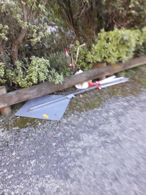
been left by Spray Marks some months ago
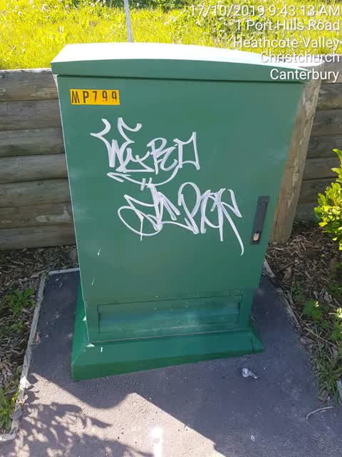
Graffiti —
Also reported on Port Hills Road
- 40 Port Hills Road — 50 reports
- 20 Port Hills Road — 39 reports
- 237 Port Hills Road — 37 reports
- 81 Port Hills Road — 30 reports
- 220E Port Hills Road — 27 reports
- 220 Port Hills Road — 26 reports
- 83 Port Hills Road — 18 reports
- 60 Port Hills Road — 17 reports
The street’s crash record
NZTA’s record names Port Hills Road in 18 crashes that hurt somebody since 2006 — 4 seriously hurt, nobody killed.
The green nearby
- Birdsey Reserve — 32 m to the edge · 3 ha
- Heathcote Domain — 46 m to the edge · Sports ground · 4 ha
- Bridle Path Walkway — 145 m to the edge · Regional · 9 ha
- Scotts Valley Reserve — 219 m to the edge · Regional · 130 ha
- Castle Rock Reserve — 248 m to the edge · Regional · 89 ha
Parks within half a kilometre, measured to the boundary — the council’s open data.
On the doorstep
- Christchurch Gondola — 233 m away · Attractions
- Red Rock Cafe — 239 m away · Restaurants
- Heathcote Cricket Club — 292 m away · Clubs
Businesses within four hundred metres, measured at the pin — OpenStreetMap and the council directories.
The bus nearby
- Bridle Path Rd near Port Hills Rd — 65 m away · route 8, route 155
- Bridle Path Rd near Port Hills Rd — 84 m away · route 8, route 155
The closest Metro stops, within four hundred and fifty metres.
The tracks through here
- Walk and bike track through Heathcote Valley — 177 m to the line · walk · bike
Tracks whose line passes within half a kilometre, measured to the line itself — the council’s open data.
The named ground
Named places within 1.5 km of this address; the council’s own structure register — bridges, boardwalks and steps standing nearby — the open map’s record.
The remembered names nearby
- In Memory of / Roger Georgieff — 140 m away ·
In memory of/ ROGER GEORGIEFF/ Who lovingly tended this cricket ground for over 40 years/
· 2016 - Heathcote / Cricket Club / 2002 – 2003 / [ Small Text] — 202 m away ·
HEATHCOTE / CRICKET CLUB / 2002 – 2003 / [illegible small text]
· 1899 - Heathcote Domain plaque — 203 m away ·
(illegible – plaque partly obscured by foliage)
· 2013
Inscribed plaques within two hundred and fifty metres — the register’s pins, not surveyed spots. The whole roll is at /plaques.
Renting nearby
new bonds in Heathcote Valley ran about $750 a week — $200 above the city median of $550 — the suburb page keeps the rent record →.
The civic layer
This ground votes in Heathcote ward — the Spreydon-Cashmere-Heathcote community board. Ward lines don’t always follow suburb lines; this one is measured at the pin, not the suburb’s centre.
What stood on this ground → · On the map → · From the air — the Crown’s aerials back to 1936; search the address on RetroLens →
Questions, answered briefly
12 council reports on record since October 2019 — most often overgrown vegetation (6), damaged road (2), trees - general (1).
Heathcote Valley, Christchurch — on Port Hills Road.
Nothing on the heritage register at this exact spot — the record around this ground →
Birdsey Reserve — 32 m to its edge, 3 ha.