172B Port Hills Road
3 council reports since August 2015, 3 carrying a photograph. The street’s heaviest record is 40 Port Hills Road, 50 reports on file.
From the air, then
Sourced from Canterbury Maps and partners. RNZAF, CC BY 3.0 NZ. Each frame is cut from Environment Canterbury’s historic imagery MapServer for that decade, only where the Footprints layer names a CC BY survey (NZAM-covered spots stay out). RetroLens holds more Crown aerials →
The green nearby
- Warner Reserve, 238 m to the edge · playground, 4 pieces
- The Duncan Park, 418 m to the edge · 24 ha
- Laing Reserve, 426 m to the edge
- Scruttons Reserve, 432 m to the edge
Parks within half a kilometre, measured to the boundary, the council’s open data. The whole roll is at /parks.
The bus nearby
- Port Hills Rd near Castleview Ln, 98 m away · route 8
- Port Hills Rd near Horotane Valley Rd, 104 m away · route 8
The closest Metro stops, within four hundred and fifty metres.
Renting nearby
new bonds in Heathcote Valley ran about $750 a week, $200 above the city median of $550, the suburb page keeps the rent record →.
What gets reported here
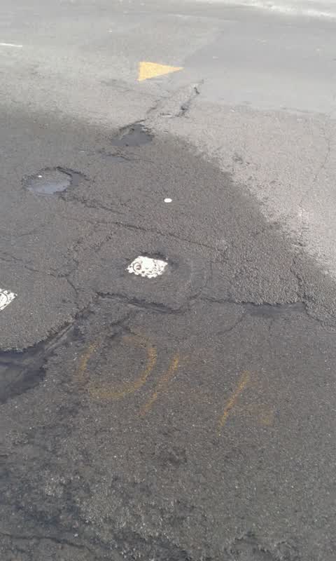
Photographed here 3 on record


What’s on record
 Overgrown Vegetation, 1 Dec 2024
Dead n dying trees. Potential hazrd. Been getting worse for a couple of years.
 Overgrown Vegetation, 25 May 2024
Two people can’t walk alone path have sent this once before
Water Supply, 21 Aug 2015
Water leak
Elsewhere on Port Hills Road
- 40 Port Hills Road, 50 reports
- 20 Port Hills Road, 39 reports
- 237 Port Hills Road, 37 reports
- 81 Port Hills Road, 30 reports
- 220E Port Hills Road, 27 reports
- 220 Port Hills Road, 26 reports
- 83 Port Hills Road, 18 reports
- 60 Port Hills Road, 17 reports
The street’s crash record
NZTA’s record names Port Hills Road in 18 crashes that hurt somebody since 2006, 4 seriously hurt, nobody killed.
The civic layer
This ground votes in Heathcote ward, the Spreydon-Cashmere-Heathcote community board is its local layer. Ward lines don’t always follow suburb lines; this one is measured at the pin, not the suburb’s centre. The whole roll is at /wards.
Port Hills Road, the whole record → · Everything about Heathcote Valley → · What stood on this ground → · On the map → · From the air, RetroLens holds the Crown’s aerials back to 1936; search the address there →
Questions, answered briefly
3 council reports on record since August 2015, most often overgrown vegetation (2), water supply (1).
Heathcote Valley, Christchurch, on Port Hills Road.
Nothing on the heritage register at this exact spot, the record around this ground →
Warner Reserve, 238 m to its edge.