26 Flavell Street, Heathcote Valley
11 reports on record since October 2017 · 9 with photographs. The street’s heaviest record is 36 Flavell Street — 15 reports on file. Indicative rating valuation and school zones, hazards, bin day and what stood here before.
What gets reported here
Photographed here 9 on record


Reported here
- Rubbish and Bins - General —
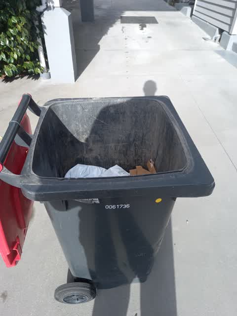
Wheelie bin not completely emptied
 Rubbish and Bins - General —
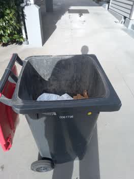
 Rubbish bin was not completely emptied 70% still full, no room for next fortnight rubbish.
 Rubbish and Bins - General —
 wheelie bin not emptied for the second time running, rubbish truck has not shaken bin to dislodge contents.
 Rubbish and Bins - General —
 Rubbish truck broke my green bin, replacement required
- Pavement - General —
 Rubbish/Recycling —
 Collection truck only emptied half bin.
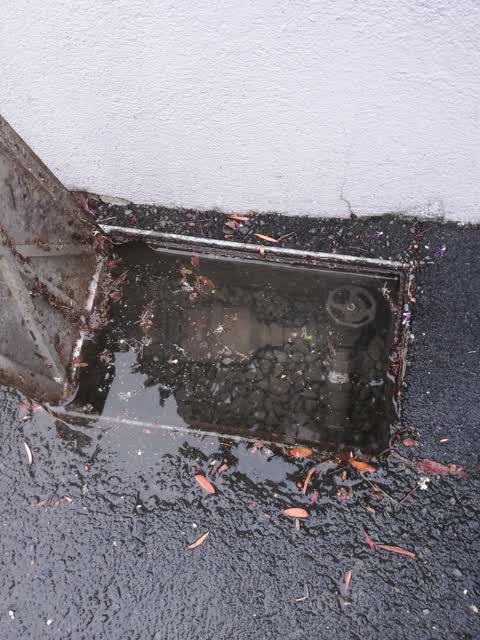
 Water Supply —
  Roading/Streets —
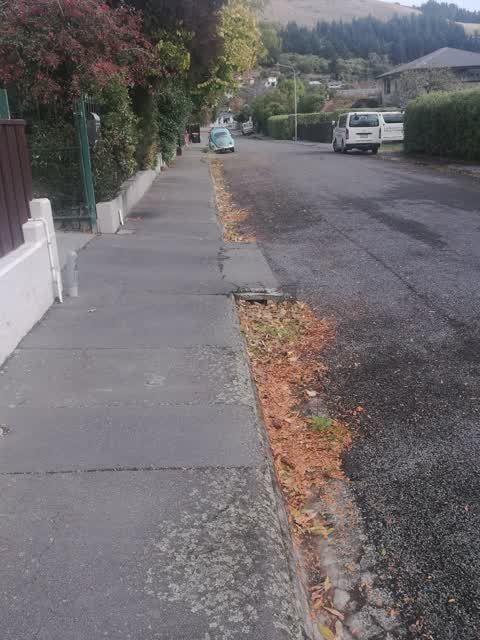
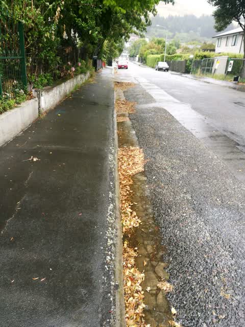
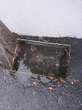
 gutters not cleared by sucker truck. sucker truck drives down street at 20 km without actually sucking gutters debris.
Wastewater/Stormwater —
Street not been cleaned once this year.
Roading/Streets —
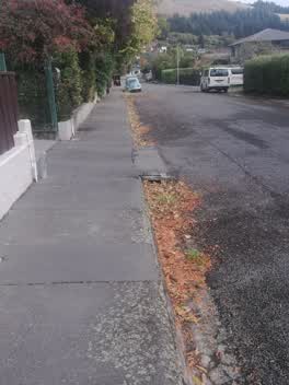
Footpath still not accessible to my wheelchair bound elderly mother, she and others must ride on road at risk with vehicles to negotiate way
Roading/Streets —
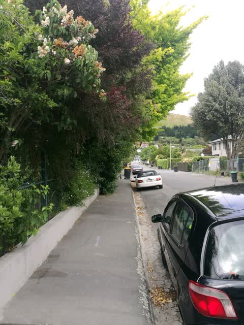
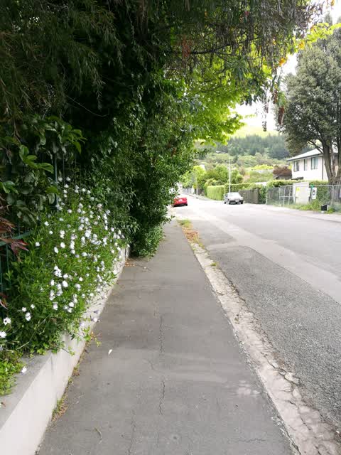
Trees overgrown footpath impedes pedestrians wheelchair, mobility scooters. Roadside gutter overgrown catching leaf and blocking.
Also reported on Flavell Street
- 36 Flavell Street — 15 reports
- 2 Flavell Street — 10 reports
- 17 Flavell Street — 4 reports
- 15 Flavell Street — 4 reports
- 29 Flavell Street — 3 reports
- 32 Flavell Street — 2 reports
- 4 Flavell Street — 1 report
- 36-14 Flavell Street — 1 report
The street’s crash record
NZTA’s record names Flavell Street in 1 crash that hurt somebody since 2006 — 0 seriously hurt, nobody killed.
The green nearby
- Scotts Valley Reserve — 190 m to the edge · Regional · 130 ha
- Martindales Reserve No. 1 — 217 m to the edge
- Cooks Reserve — 250 m to the edge
- Birdsey Reserve — 315 m to the edge · 3 ha
- Heathcote Domain — 343 m to the edge · Sports ground · 4 ha
Parks within half a kilometre, measured to the boundary — the council’s open data.
On the doorstep
- The Valley Inn Tavern — 130 m away · Bars & pubs
- The Valley Inn — 152 m away · Bars & pubs
- Heathcote Valley Gallery — 190 m away · Galleries
- Maltworks Convenience Store — 380 m away · Dairies & convenience
Businesses within four hundred metres, measured at the pin — OpenStreetMap and the council directories.
The bus nearby
The closest Metro stops, within four hundred and fifty metres.
The named ground
Named places within 1.5 km of this address; the council’s own structure register — bridges, boardwalks and steps standing nearby — the open map’s record.
Renting nearby
new bonds in Heathcote Valley ran about $750 a week — $200 above the city median of $550 — the suburb page keeps the rent record →.
The civic layer
This ground votes in Heathcote ward — the Spreydon-Cashmere-Heathcote community board. Ward lines don’t always follow suburb lines; this one is measured at the pin, not the suburb’s centre.
What stood on this ground → · On the map → · From the air — the Crown’s aerials back to 1936; search the address on RetroLens →
Questions, answered briefly
11 council reports on record since October 2017 — most often rubbish and bins - general (4), roading/streets (3), water supply (1).
Heathcote Valley, Christchurch — on Flavell Street.
Nothing on the heritage register at this exact spot — the record around this ground →
Scotts Valley Reserve — 190 m to its edge, 130 ha.