60 Bridle Path Road, Heathcote Valley
18 reports on record since October 2015 · 17 with photographs. The street’s heaviest record is 45 Bridle Path Road — 62 reports on file. Indicative rating valuation and school zones, hazards, bin day and what stood here before.
What gets reported here
- Graffiti — 15
- Roading/Streets — 1
- Road Signage — 1
- Fallen Tree — 1
Photographed here 17 on record


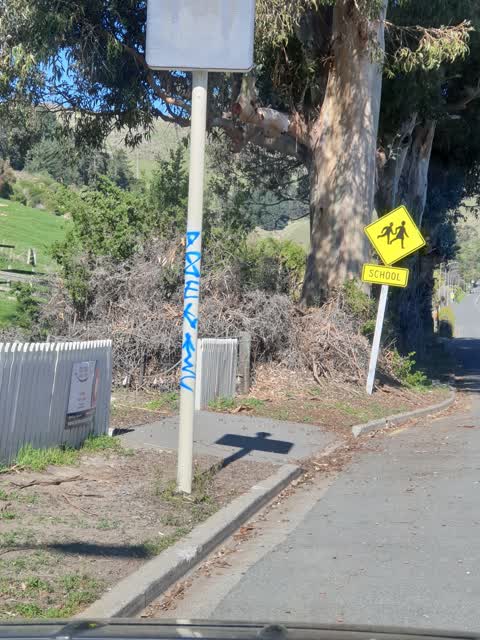
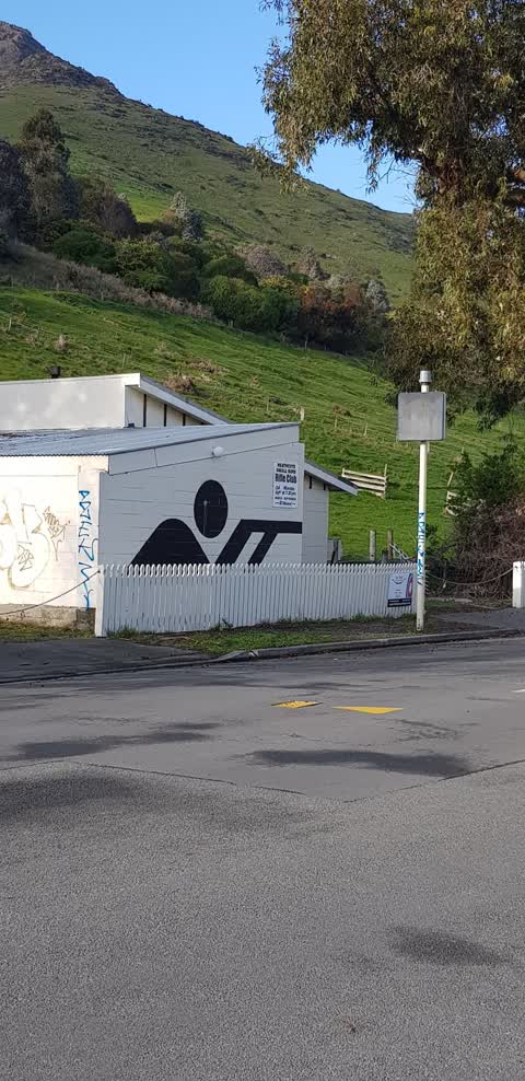
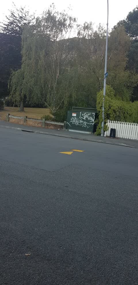
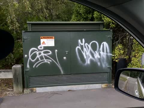
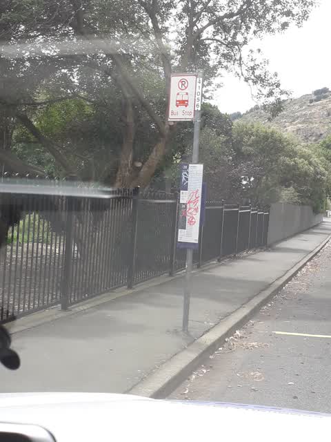
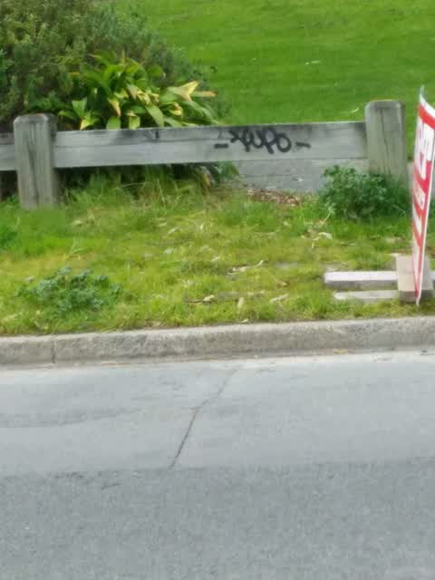
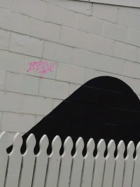
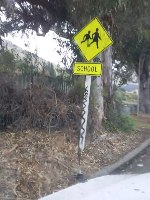
Reported here
 Fallen Tree —
 Very dangerous bough broke off… some helpful people assisted to move off road… very dangerous old trees… close to school too!!!
 Graffiti —
  Graffiti —
 Blue graffiti on the left side of an orion box, opposite Rollin street on bridal path road
 Graffiti —
 On green electric box next to Bridle path road
- Road Signage —
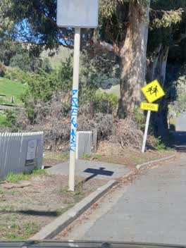 Graffiti —
 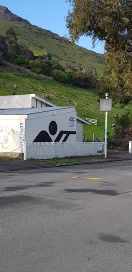 Graffiti —
 Some on public and some on private property
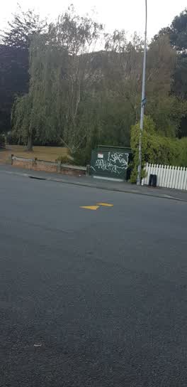 Graffiti —
 Graffiti —
Graffiti —
Graffiti —
Graffiti —
Graffiti —
Graffiti —
Graffiti —
Graffiti —
Roading/Streets —
Collapsed drain cover
Graffiti —
Also reported on Bridle Path Road
- 45 Bridle Path Road — 62 reports
- 10 Bridle Path Road — 18 reports
- 111E Bridle Path Road — 14 reports
- 50 Bridle Path Road — 12 reports
- 111 Bridle Path Road — 12 reports
- 1 Bridle Path Road — 10 reports
- 96 Bridle Path Road — 9 reports
- 38 Bridle Path Road — 9 reports
The street’s crash record
NZTA’s record names Bridle Path Road in 12 crashes that hurt somebody since 2006 — 3 seriously hurt, nobody killed.
The green nearby
- Scotts Valley Reserve — 14 m to the edge · Regional · 130 ha
- Birdsey Reserve — 112 m to the edge · 3 ha
- Heathcote Domain — 227 m to the edge · Sports ground · 4 ha
- Martindales Reserve No. 1 — 276 m to the edge
- Cooks Reserve — 461 m to the edge
Parks within half a kilometre, measured to the boundary — the council’s open data.
On the doorstep
- The Valley Inn Tavern — 201 m away · Bars & pubs
- The Valley Inn — 207 m away · Bars & pubs
- Heathcote Valley Gallery — 278 m away · Galleries
- Heathcote Cricket Club — 283 m away · Clubs
Businesses within four hundred metres, measured at the pin — OpenStreetMap and the council directories.
The bus nearby
- Bridle Path Rd near Rollin St — 58 m away · route 8, route 155
- Bridle Path Rd near Rollin St — 131 m away · route 8, route 155
The closest Metro stops, within four hundred and fifty metres.
The named ground
Named places within 1.5 km of this address; the council’s own structure register — bridges, boardwalks and steps standing nearby — the open map’s record.
Renting nearby
new bonds in Heathcote Valley ran about $750 a week — $200 above the city median of $550 — the suburb page keeps the rent record →.
The civic layer
This ground votes in Heathcote ward — the Spreydon-Cashmere-Heathcote community board. Ward lines don’t always follow suburb lines; this one is measured at the pin, not the suburb’s centre.
What stood on this ground → · On the map → · From the air — the Crown’s aerials back to 1936; search the address on RetroLens →
Questions, answered briefly
18 council reports on record since October 2015 — most often graffiti (15), roading/streets (1), road signage (1).
Heathcote Valley, Christchurch — on Bridle Path Road.
Nothing on the heritage register at this exact spot — the record around this ground →
Scotts Valley Reserve — 14 m to its edge, 130 ha.