16 Vulcan Place, Hillmorton
33 reports on record since January 2019 · 31 with photographs. The most-reported address on Vulcan Place. Indicative rating valuation and school zones, hazards, bin day and what stood here before.
What gets reported here
Photographed here 31 on record


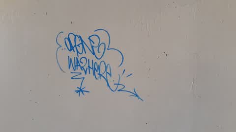
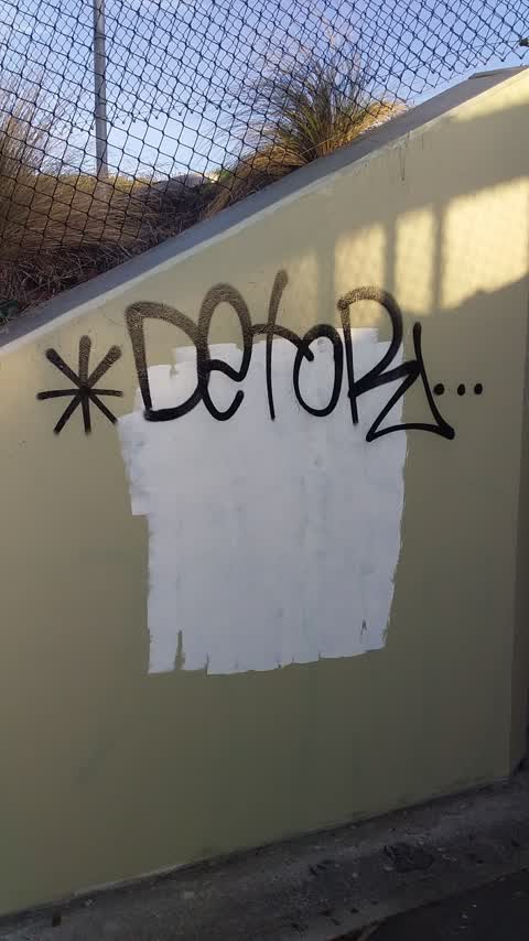
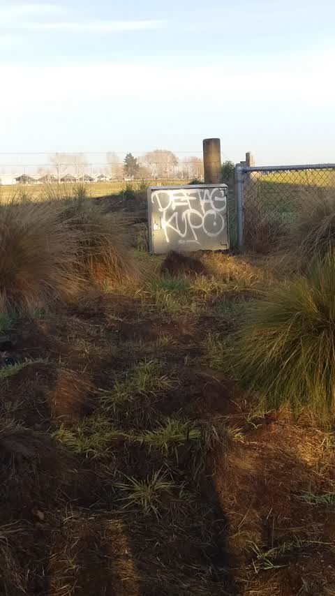
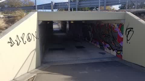
Reported here
 Street Light Outage —
 lights are out on the motorway
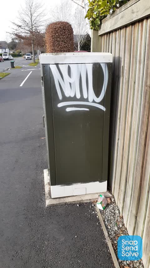
 Graffiti on a fence, building or structure —
 Telegraph pole graffitti, end of Annex Road by underpass
- Graffiti —
- Pavement - General —
 Dumped Rubbish —
 Some inconsiderate ignoramus is leaving doggy poo bags here. Been accumulating for weeks. At entrance to Annex Road tunnel.
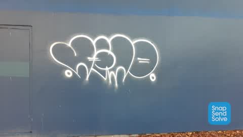
 Graffiti —
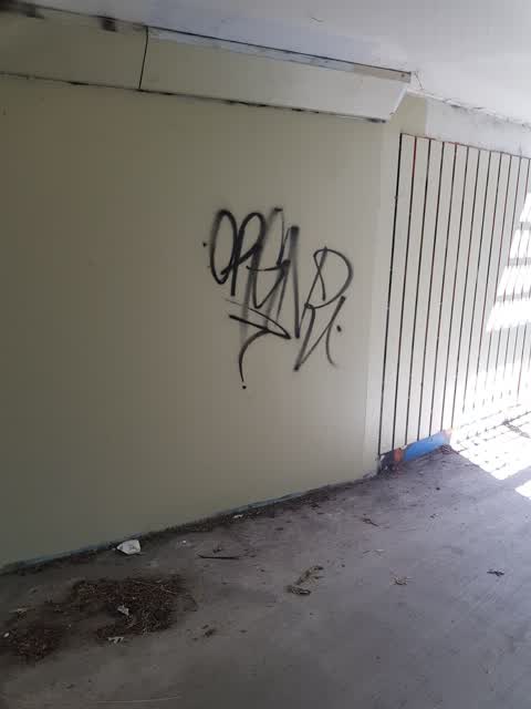
 In tunnel
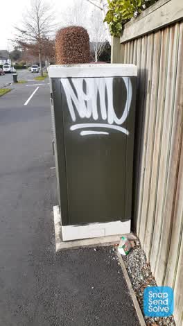 Graffiti —
  Graffiti —
 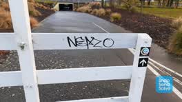 Graffiti —
 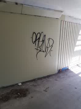 Graffiti —
 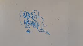 Graffiti —
 Graffiti —
bike path under annex rd
Graffiti —
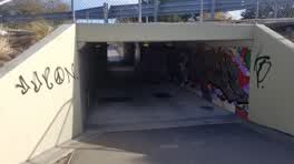 Graffiti —
 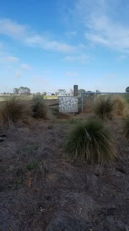 Graffiti —
 Graffiti —
Graffiti —
Graffiti —
Graffiti —
Graffiti —
Graffiti —
Graffiti —
Graffiti —
Graffiti —
Graffiti —
Graffiti —
Graffiti —
Graffiti —
Graffiti —
Graffiti —
Graffiti —
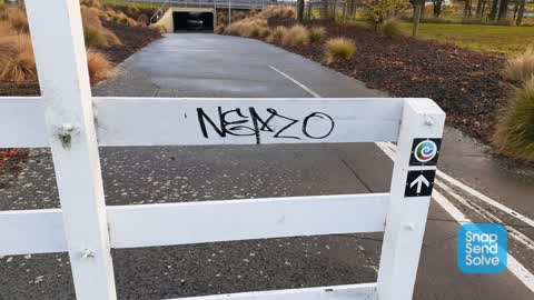
gate near Annex road cycleway underpass
Rubbish/Recycling —
Roading/Streets —
Bollard left unlocked and loose at the end of Annex rd. Inviting some jerk to steal bollard or drive down tunnel.
Also reported on Vulcan Place
- 18 Vulcan Place — 1 report
The green nearby
- Marylands Reserve — 80 m to the edge · Sports ground · 6 ha
- Seager Park — 419 m to the edge · 3 ha
- Canterbury Agricultural Park — 439 m to the edge · Sports ground · 42 ha
- Mokihi Reserve — 443 m to the edge
Parks within half a kilometre, measured to the boundary — the council’s open data.
On the doorstep
- Regional Forensic Psychiatric Service — 150 m away · Hospital
- Te Whare Mauri Ora — 309 m away · Hospital
- Nutrient Depot — 337 m away · Cafés
- Pure Cafe Co - Birmingham Drive — 349 m away · Cafés
Businesses within four hundred metres, measured at the pin — OpenStreetMap and the council directories.
The bus nearby
- Birmingham Dr near Craft Pl — 303 m away · route 140
- Birmingham Dr near Craft Pl — 316 m away · route 140
The closest Metro stops, within four hundred and fifty metres.
The tracks through here
- Walk and bike track through Hillmorton — 1 m to the line · walk · bike
- Walk and bike track through Hillmorton — 1 m to the line · walk · bike
- Walk and bike track through Hillmorton — 87 m to the line · walk · bike
- Walk and bike track through Hillmorton — 101 m to the line · walk · bike
- Walk and bike track through Hillmorton — 342 m to the line · walk · bike
Tracks whose line passes within half a kilometre, measured to the line itself — the council’s open data.
The named ground
Named water within 500 m of this address, measured to the line or the edge; Named places within 1.5 km of this address — the open map’s record.
Renting nearby
new bonds in Hillmorton ran about $590 a week — $40 above the city median of $550 — the suburb page keeps the rent record →.
The civic layer
This ground votes in Spreydon ward — the Spreydon-Cashmere-Heathcote community board. Ward lines don’t always follow suburb lines; this one is measured at the pin, not the suburb’s centre.
What stood on this ground → · On the map → · From the air — the Crown’s aerials back to 1936; search the address on RetroLens →
Questions, answered briefly
33 council reports on record since January 2019 — most often graffiti (27), street light outage (1), rubbish/recycling (1).
Hillmorton, Christchurch — on Vulcan Place.
Nothing on the heritage register at this exact spot — the record around this ground →
Marylands Reserve — 80 m to its edge, 6 ha.