48 Sylvan Street, Hillmorton
11 reports on record since September 2018 · 7 with photographs. The street’s heaviest record is 58 Sylvan Street — 12 reports on file. Indicative rating valuation and school zones, hazards, bin day and what stood here before.
What gets reported here
- Pavement - General — 3
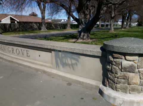
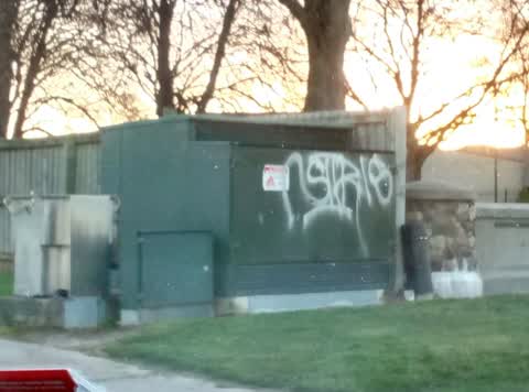
- Graffiti — 3
- Roading/Streets — 1
- Hazard — vehicle — 1
- Dumped Rubbish — 1
- Damaged Street Sign — 1
Photographed here 7 on record


Reported here
 Abandoned Vehicle —
 how long does this car have to be here for, its been here for over 2 weeks. just wondering if its a part of an investigation or if it can be
 Hazard — vehicle —
 Car parked over driveway unable to get my car out
 Damaged Street Sign —
 sign down
 Dumped Rubbish —
 - Graffiti —
- Pavement - General —
- Pavement - General —
- Pavement - General —
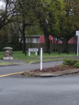 Roading/Streets —
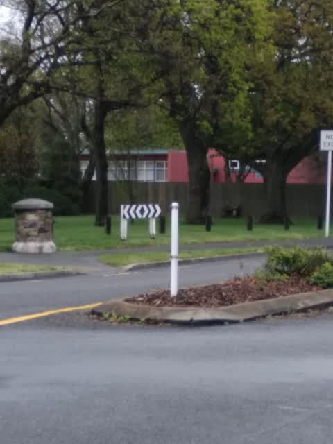
 Keep left island sign has gone missing
Graffiti —
Graffiti —
Also reported on Sylvan Street
- 58 Sylvan Street — 12 reports
- 55R Sylvan Street — 10 reports
- 60A Sylvan Street — 7 reports
- 13 Sylvan Street — 5 reports
- 27 Sylvan Street — 4 reports
- 11 Sylvan Street — 4 reports
- 65 Sylvan Street — 3 reports
- 51 Sylvan Street — 3 reports
The street’s crash record
NZTA’s record names Sylvan Street in 12 crashes that hurt somebody since 2006 — 3 seriously hurt, nobody killed.
The green nearby
- Linden Grove — 23 m to the edge
- Torrens Reserve — 103 m to the edge
- Pavilion Park — 208 m to the edge
- Albion Reserve — 269 m to the edge
- Marylands Reserve — 276 m to the edge · Sports ground · 6 ha
Parks within half a kilometre, measured to the boundary — the council’s open data.
On the doorstep
- Youth Specialty Services — 55 m away · Hospital
- McDonald's — 345 m away · Fast food
- McDonalds Family Restaurant Hillmorton — 351 m away · Fast food
- NPD Lincoln Road Workshop — 351 m away · Car repair
Businesses within four hundred metres, measured at the pin — OpenStreetMap and the council directories.
The bus nearby
- Lincoln Rd near Sylvan St — 388 m away · route 7
The closest Metro stops, within four hundred and fifty metres.
The tracks through here
- Walk and bike track through Hillmorton — 272 m to the line · walk · bike
- Walk and bike track through Hillmorton — 379 m to the line · walk · bike
- Walk and bike track through Hillmorton — 380 m to the line · walk · bike
- Walk and bike track through Hillmorton — 445 m to the line · walk · bike
- Walk and bike track through Hillmorton — 450 m to the line · walk · bike
Tracks whose line passes within half a kilometre, measured to the line itself — the council’s open data.
The named ground
Named water within 500 m of this address, measured to the line or the edge — the open map’s record.
The remembered names nearby
- In Memory of a Wonderful Lady / Nan Gibb — 242 m away ·
In memory of a wonderful lady/ Nan Gibb/ 1-11-1932 20-6-2013/ “Bide a wee”
· 2024
Inscribed plaques within two hundred and fifty metres — the register’s pins, not surveyed spots. The whole roll is at /plaques.
Renting nearby
new bonds in Hillmorton ran about $590 a week — $40 above the city median of $550 — the suburb page keeps the rent record →.
The civic layer
This ground votes in Spreydon ward — the Spreydon-Cashmere-Heathcote community board. Ward lines don’t always follow suburb lines; this one is measured at the pin, not the suburb’s centre.
What stood on this ground → · On the map → · From the air — the Crown’s aerials back to 1936; search the address on RetroLens →
Questions, answered briefly
11 council reports on record since September 2018 — most often pavement - general (3), graffiti (3), roading/streets (1).
Hillmorton, Christchurch — on Sylvan Street.
Nothing on the heritage register at this exact spot — the record around this ground →
Linden Grove — 23 m to its edge.