8 Prisk Place, Hillsborough
25 reports on record since January 2017 · 20 with photographs. The most-reported address on Prisk Place. Indicative rating valuation and school zones, hazards, bin day and what stood here before.
What gets reported here
- Graffiti — 9
- Graffiti on a bus stop or public toilet — 5
- Parks — 4
- Graffiti on a fence, building or structure — 2
- Water Leak — 1
- Water Fountain — 1
Photographed here 20 on record




Reported here
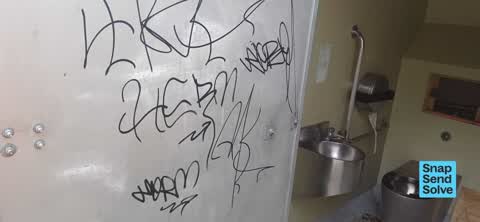
 Graffiti on a bus stop or public toilet —
 Hillsborough Domain toilets. walls and doors tagged.
 Graffiti on a playground or in a park —
 lots of small scale graffiti on the club house at Hillsborough domain
 Graffiti on a bus stop or public toilet —
 Hillsborough Domain toilets
 Graffiti on a bus stop or public toilet —
 Graffiti in toilets at Hillsborough Domain
 Water Fountain —
 The little bowl from the dog water cavity at the water fountain in Hillsborough domain is missing again.
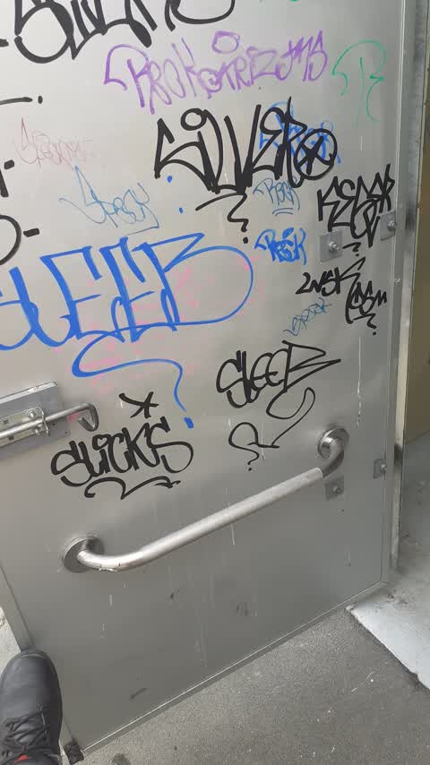
 Graffiti on a bus stop or public toilet —
 Mens toilet door . Hillsborough Domain
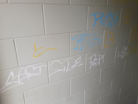
 Graffiti on a fence, building or structure —
 Public toilets at hillsborough domain have had the soap dispenser lit on fire and left in the basins
 Graffiti on a fence, building or structure —
  Vandalism - General —
 Door broken into pavilion
 Graffiti on a bus stop or public toilet —
 Hillsborough Domain toilets
- Facility - General Request —
- Graffiti —
- Graffiti —
- Graffiti —
- Graffiti —
 Graffiti —
 Hillsborough Park toilets
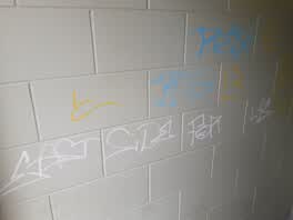 Graffiti —
 Hillsborough Domain. Both Mens & Womans
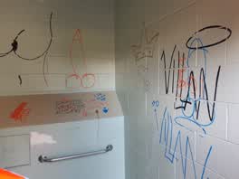 Graffiti —
 Hillsborough Domain
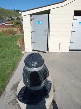 Parks —
 Lockdown butt toilets open see the drink fountain covered. Or isthere a new policy on toilets this lockdown?
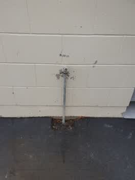 Water Leak —
 leaking tap. door is also broken in Hillsborough Park clubrooms.
Parks —
rubbish bin full in Hillsborough Domain. Perhaps a take your dog poo home sign would help. Thanks
 Parks —
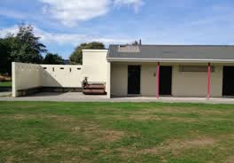
 Hole in roof of changing rooms building
Graffiti —
Graffiti as per photo and round corner on changing room block
Graffiti —
Graffiti on wall of club rooms/toilet block on the side facing Bishopworth St
Parks —
Female toilet full of rubbish. Male toilet appears to have a leak by the sink. There is also graffiti in the toilet cubicle. Hillsborough Pa
Also reported on Prisk Place
- 6 Prisk Place — 5 reports
- 5 Prisk Place — 5 reports
The green nearby
- Hillsborough Park — you are in it · Sports ground · 4 ha
- Curries Reserve — 238 m to the edge
Parks within half a kilometre, measured to the boundary — the council’s open data.
On the doorstep
- Jurassic Adventure Mini Golf — 136 m away · Mini golf
- Jurassic Adventure — 159 m away · Attractions
- T-Rex Ride — 180 m away · Attractions
- Dino Dig — 194 m away · Attractions
Businesses within four hundred metres, measured at the pin — OpenStreetMap and the council directories.
The bus nearby
The closest Metro stops, within four hundred and fifty metres.
The tracks through here
- Walk and bike track through Hillsborough — 80 m to the line · walk · bike
- Walk and bike track through Hillsborough — 92 m to the line · walk · bike
- Walk and bike track through Hillsborough — 274 m to the line · walk · bike
- Walk and bike track through Hillsborough — 487 m to the line · walk · bike
Tracks whose line passes within half a kilometre, measured to the line itself — the council’s open data.
The named ground
the council’s own structure register — bridges, boardwalks and steps standing nearby — the open map’s record.
Renting nearby
new bonds in Hillsborough ran about $445 a week — $105 below the city median of $550 — the suburb page keeps the rent record →.
The civic layer
This ground votes in Heathcote ward — the Spreydon-Cashmere-Heathcote community board. Ward lines don’t always follow suburb lines; this one is measured at the pin, not the suburb’s centre.
What stood on this ground → · On the map → · From the air — the Crown’s aerials back to 1936; search the address on RetroLens →
Questions, answered briefly
25 council reports on record since January 2017 — most often graffiti (9), graffiti on a bus stop or public toilet (5), parks (4).
Hillsborough, Christchurch — on Prisk Place.
Nothing on the heritage register at this exact spot — the record around this ground →
Hillsborough Park — the address is inside it, 4 ha.