29 Spencerville Road
13 council reports since September 2020, 13 carrying a photograph. The most-reported address on Spencerville Road.
On the register here
- Dwelling and Setting, 27 Spencerville Road (68m)
From the air, then
Sourced from Canterbury Maps and partners. LINZ, CC BY 3.0 NZ. Each frame is cut from Environment Canterbury’s historic imagery MapServer for that decade, only where the Footprints layer names a CC BY survey (NZAM-covered spots stay out). RetroLens holds more Crown aerials →
The tracks through here
- Walk and bike track through Kainga, 486 m to the line · walk · bike
Tracks whose line passes within half a kilometre, the council’s open data.
What gets reported here
Photographed here 13 on record


What’s on record
 Abandoned Vehicle, 22 Sept 2024
 Derelict veichle
 Dumped Rubbish, 20 Sept 2024
 Another car body spencerville road
 Dumped Rubbish, 17 Sept 2024
 Overgrown Vegetation, 24 Dec 2023
 Getting so long can’t see entrance way
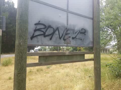
Graffiti, 17 Dec 2020
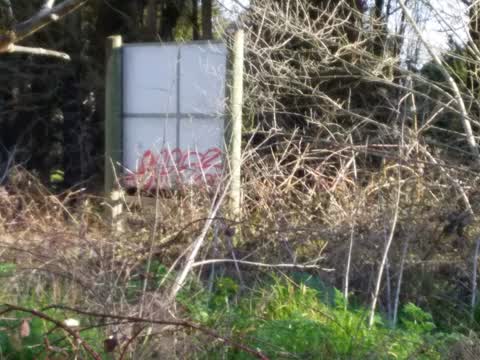
this graffiti is on the back of fire danger sign on Spencerville road near Belfast Pony Club.
Graffiti, 17 Dec 2020
more graffiti at the Belfast Pony Club
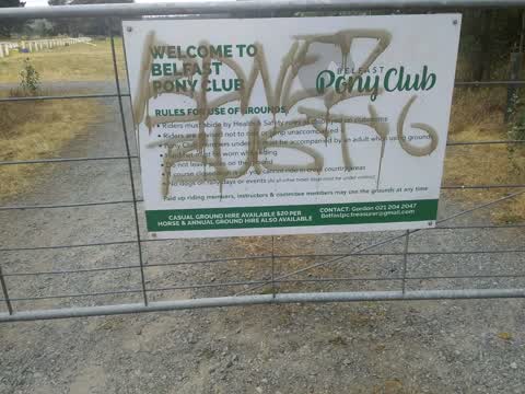
Graffiti, 30 Nov 2020
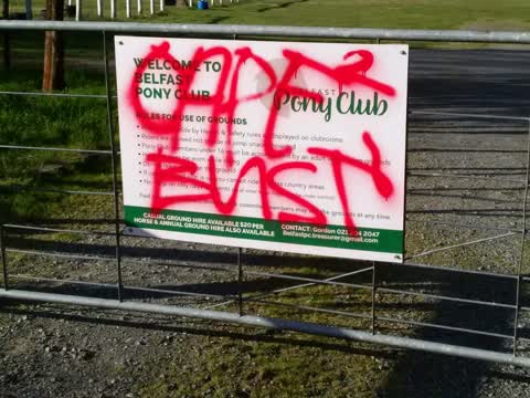
there is new graffiti on the sign attached to the gate to the Belfast Pony club.
Graffiti, 30 Nov 2020
this graffiti at the Belfast Pony club hasn't been removed, I reported it a while ago.
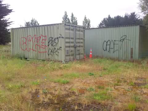
Graffiti, 8 Oct 2020
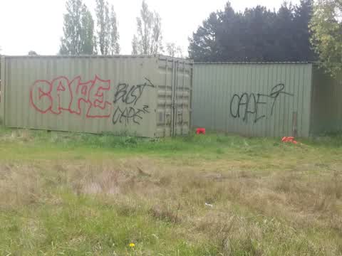
all this graffiti is at the Belfast Poney Club.
Graffiti, 7 Sept 2020
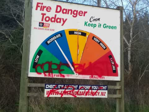
this fire warning sign is across the road and just a bit east from the road signs that have been graffitied.
Graffiti, 4 Sept 2020
I just noticed coming back from the phoney club that the Fire Danger sign has been tagged also.
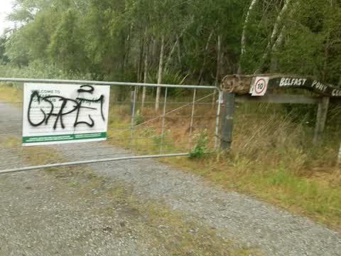
Graffiti, 4 Sept 2020
this us the gate into the Belfast Pony Club
Graffiti, 4 Sept 2020
as the sign says, I'm at the Chaneys Forest entrance. it's just off the Spencerville road on a track that leads to a horse club.
Elsewhere on Spencerville Road
- 25 Spencerville Road, 11 reports
- 30 Spencerville Road, 9 reports
- 27 Spencerville Road, 5 reports
- 7 Spencerville Road, 1 report
- 4 Spencerville Road, 1 report
- 25C Spencerville Road, 1 report
The street’s crash record
NZTA’s record names Spencerville Road in 6 crashes that hurt somebody since 2006, 1 seriously hurt, nobody killed.
The civic layer
This ground votes in Coastal ward, the Coastal-Burwood-Linwood community board is its local layer. Ward lines don’t always follow suburb lines; this one is measured at the pin, not the suburb’s centre. The whole roll is at /wards.
Spencerville Road, the whole record → · Everything about Kainga → · What stood on this ground → · On the map → · From the air, RetroLens holds the Crown’s aerials back to 1936; search the address there →
Questions, answered briefly
13 council reports on record since September 2020, most often graffiti (9), dumped rubbish (2), overgrown vegetation (1).
Kainga, Christchurch, on Spencerville Road.
The heritage register names a place at or beside it, Dwelling and Setting.