22 Cox Street, Merivale
11 reports on record since August 2016 · 9 with photographs. The most-reported address on Cox Street. Indicative rating valuation and school zones, hazards, bin day and what stood here before.
What gets reported here
Photographed here 9 on record


Reported here
 Poles and Signage - General —
 Parking restriction sign looks to have been sheared off at the base
 Road Signage —
 A variety of cones and signs collected on Cox St that have been here for months, probably left behind by contractors or vandals
- Animal - Domestic —
- Damaged Street Sign —
 Roading/Streets —
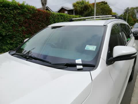
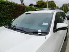
 All 4 photos attached are from residents' vehicles ticketed for parking in front of their own homes. Please contact me ASAP to discuss possi
Roading/Streets —
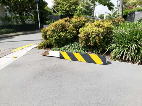
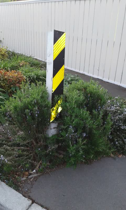
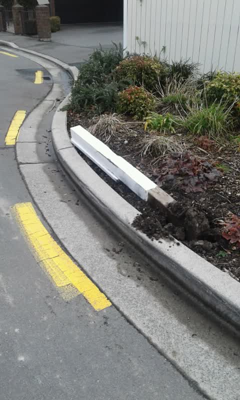
reflective safety bollard has been snapped at the base and needs to be replaced. the other safety bollards need strengthening and straighten
Roading/Streets —
Reflective traffic warning part hit and broken over by truck
Roading/Streets —
Vehicle has hit and broken safety post
Roading/Streets —
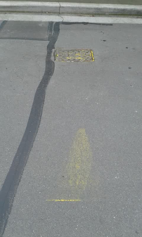
Line painters recently repainted the road markings but forgot 2 paint the fire hydrant markings. This is the second time markings been paint
Water Supply —
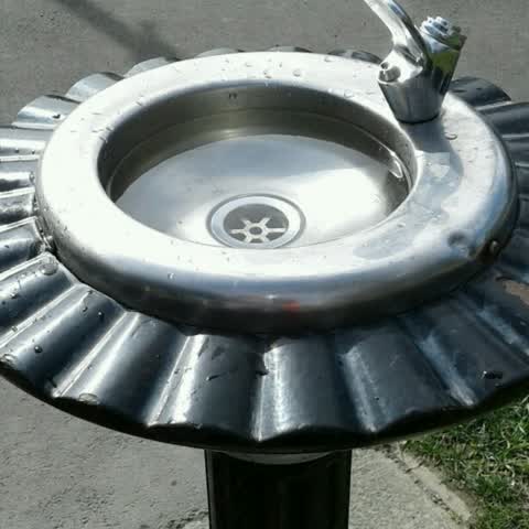
Water fountain drain clogged.
Roading/Streets —
Warning post knocked over by large truck
Also reported on Cox Street
- 67 Cox Street — 3 reports
- 7 Cox Street — 2 reports
- 54 Cox Street — 2 reports
- 34 Cox Street — 2 reports
- 21 Cox Street — 2 reports
- 17 Cox Street — 2 reports
- 16 Cox Street — 2 reports
- 14 Cox Street — 2 reports
The green nearby
- Merivale Reserve — 147 m to the edge
- Elmwood Park — 371 m to the edge · Sports ground · 7 ha
- Merivale Village Green — 442 m to the edge
Parks within half a kilometre, measured to the boundary — the council’s open data.
On the doorstep
- Elmwood Players — 143 m away · Cinemas & theatres
- Repertory Theatre — 145 m away · Cinemas & theatres
- Public tennis court — 191 m away · Sports centres
- Studio 125 Gallery — 317 m away · Galleries
Businesses within four hundred metres, measured at the pin — OpenStreetMap and the council directories.
The bus nearby
The closest Metro stops, within four hundred and fifty metres.
The tracks through here
- Walk and bike track through Merivale — 345 m to the line · walk · bike
- Walk and bike track through Merivale — 363 m to the line · walk · bike
- Walk and bike track through Merivale — 413 m to the line · walk · bike
Tracks whose line passes within half a kilometre, measured to the line itself — the council’s open data.
The named ground
Named water within 500 m of this address, measured to the line or the edge; Named places within 1.5 km of this address; the council’s own structure register — bridges, boardwalks and steps standing nearby — the open map’s record.
Renting nearby
new bonds in Merivale ran about $604 a week — $54 above the city median of $550 — the suburb page keeps the rent record →.
What was here — Elmwood School War Memorial and Setting
189 m away · 1/76 Leinster Road · located to ±5 m · the place’s own record →
On the register. Nothing researched here yet.
The civic layer
This ground votes in Fendalton ward — the Fendalton-Waimairi-Harewood community board. Ward lines don’t always follow suburb lines; this one is measured at the pin, not the suburb’s centre.
What stood on this ground → · On the map → · From the air — the Crown’s aerials back to 1936; search the address on RetroLens →
Questions, answered briefly
11 council reports on record since August 2016 — most often roading/streets (6), water supply (1), road signage (1).
Merivale, Christchurch — on Cox Street.
The heritage register names a place at or beside it — Elmwood School War Memorial and Setting.
Merivale Reserve — 147 m to its edge.