7A Rossall Street, Merivale
11 reports on record since September 2017 · 10 with photographs. The street’s heaviest record is 3 Rossall Street — 29 reports on file. Indicative rating valuation and school zones, hazards, bin day and what stood here before.
What gets reported here
- Parks — 2
- Park - General Request — 2
- Graffiti — 2
- Vandalism - General — 1
- Rubbish and Bins - General — 1
- Roading/Streets — 1
Photographed here 10 on record



Reported here
 Poles and Signage - General —
 been walking through millbrook reserve and noticed that there are a few historic plaques missing. could these be replaced?
 Park - General Request —
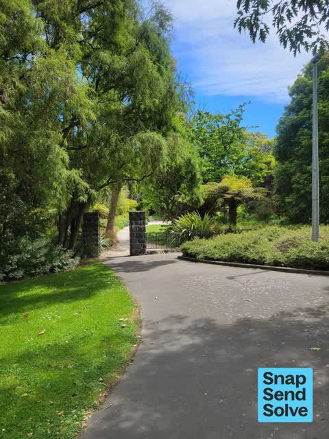
 Millbrook Reserve. Bronze plaque missing - looks like its been ripped from its mount.
 Dumped Rubbish —
 In car park of Millbrook Reserve, contains Thawed food
 Vandalism - General —
 More plaques stolen at Millbrook Reserve
- Rubbish and Bins - General —
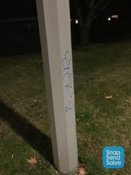
 Graffiti —
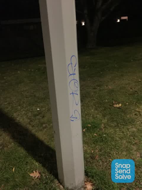
 A number of lamp posts tagged at least 6 in this area
 Park - General Request —
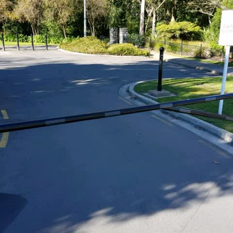
 Vehicle damage to bollard and asphalt
 Graffiti —
  Roading/Streets —
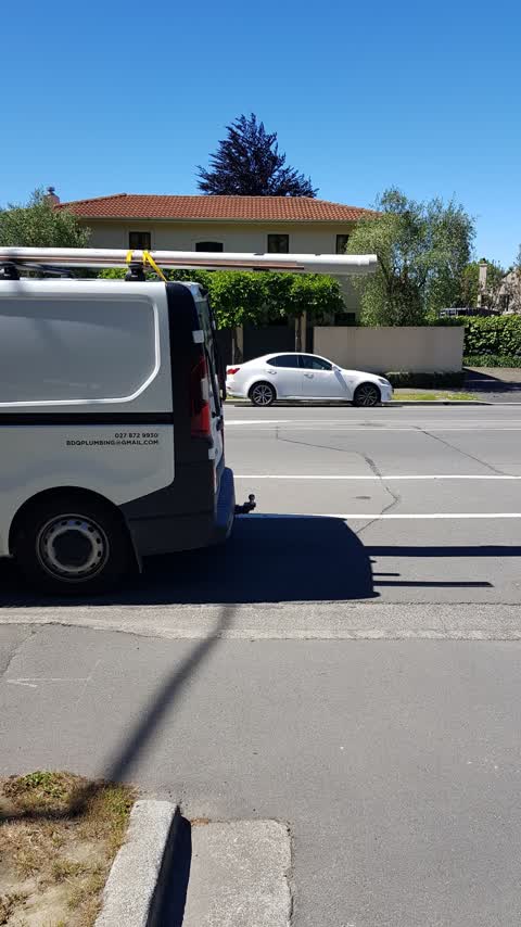
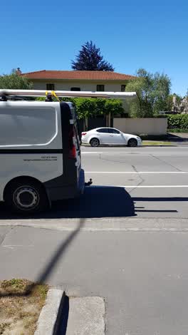
 This is the 3rd vehicle today that is parked over the driveway into our home and into the Millbrook Reserve. We have this problem nearly ev
Parks —
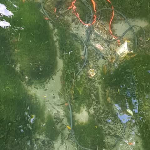
Large lengths of electrical wire apparently dumped from the Helmore's Lane bridge.
Parks —
This is probably only the 9th or 10th time in the last 12 months that this gate has actually been closed at night - and it is at least the 5
Also reported on Rossall Street
- 3 Rossall Street — 29 reports
- 109 Rossall Street — 8 reports
- 92 Rossall Street — 7 reports
- 37A Rossall Street — 7 reports
- 20 Rossall Street — 5 reports
- 129 Rossall Street — 5 reports
- 7C Rossall Street — 4 reports
- 38 Rossall Street — 4 reports
The street’s crash record
NZTA’s record names Rossall Street in 36 crashes that hurt somebody since 2006 — 10 seriously hurt, nobody killed.
The green nearby
- Millbrook Reserve — 8 m to the edge · Botanic
- Little Hagley Park — 58 m to the edge · Botanic · 7 ha
- Carlton Mill Riverbank — 174 m to the edge
- Hagley Park North — 182 m to the edge · Sports ground · 91 ha
Parks within half a kilometre, measured to the boundary — the council’s open data.
On the doorstep
- Caldera Estate — 281 m away · Bottle stores
- Le Panier — 315 m away · Bakeries
- Holmwood Dairy — 316 m away · Supermarkets
- The Preservatory — 316 m away · Cafés
Businesses within four hundred metres, measured at the pin — OpenStreetMap and the council directories.
The bus nearby
The closest Metro stops, within four hundred and fifty metres.
The tracks through here
- Walk and bike track through Merivale — 23 m to the line · walk · bike
- Walk and bike track through Merivale — 73 m to the line · walk · bike
- Walk and bike track through Merivale — 148 m to the line · walk · bike
- Walk and bike track through Merivale — 177 m to the line · walk · bike
- Walk and bike track through Merivale — 221 m to the line · walk · bike
Tracks whose line passes within half a kilometre, measured to the line itself — the council’s open data.
The named ground
Named water within 500 m of this address, measured to the line or the edge; Named places within 1.5 km of this address; the council’s own structure register — bridges, boardwalks and steps standing nearby — the open map’s record.
The remembered names nearby
- Millbrook Reserve plaque — 31 m away · 2009
- In Fond Memory of Miss Betty Hart 30-3-1913 — 24-7-2003 — 43 m away ·
IN FOND MEMORY OF MISS BETTY HART 30-3-1913 — 24-7-2003 LONG STANDING MEMBER OF THE CHRIST
· 2009 - In Loving Memory of / James Ryder Burford / 1944 - 2017 — 51 m away ·
In loving memory of/ James Ryder Burford/ 1944 - 2017/ cherished father, brother,/ partner
· 2009
Inscribed plaques within two hundred and fifty metres — the register’s pins, not surveyed spots. The whole roll is at /plaques.
Renting nearby
new bonds in Merivale ran about $604 a week — $54 above the city median of $550 — the suburb page keeps the rent record →.
What was here — Dwelling and Setting
94 m away · 2 Helmores Lane · located to ±15 m · the place’s own record →
On the register. Nothing researched here yet.
What was here — Dwelling and Setting
128 m away · 16 Helmores Lane · located to ±17 m · the place’s own record →
On the register. Nothing researched here yet.
What was here — Bridge and Setting
132 m away · located to ±18 m · the place’s own record →
On the register. Nothing researched here yet.
The civic layer
This ground votes in Fendalton ward — the Fendalton-Waimairi-Harewood community board. Ward lines don’t always follow suburb lines; this one is measured at the pin, not the suburb’s centre.
What stood on this ground → · On the map → · From the air — the Crown’s aerials back to 1936; search the address on RetroLens →
Questions, answered briefly
11 council reports on record since September 2017 — most often parks (2), park - general request (2), graffiti (2).
Merivale, Christchurch — on Rossall Street.
The heritage register names 3 places at or beside it — Dwelling and Setting, Dwelling and Setting.
Millbrook Reserve — 8 m to its edge.