11 Birmingham Drive, Middleton
38 reports on record since March 2018 · 30 with photographs. The most-reported address on Birmingham Drive. Indicative rating valuation and school zones, hazards, bin day and what stood here before.
What gets reported here
Photographed here 30 on record





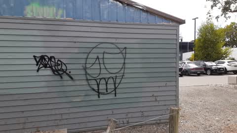
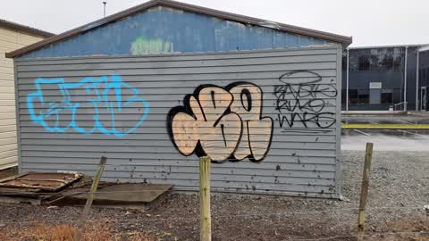
Reported here
 Graffiti on a fence, building or structure —
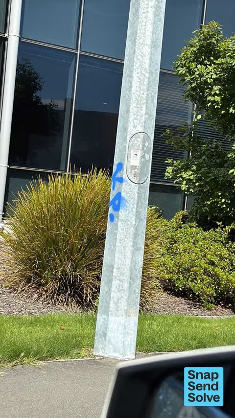
 Tagged street light (fence, building or structure)
 Graffiti on a fence, building or structure —
  Graffiti on a playground or in a park —
 Graffiti on Park Bench with offensive language
 Graffiti on a fence, building or structure —
 Tag on reverse of motorway sign
 General Request —
 More tags on light poles
 Park - General Request —
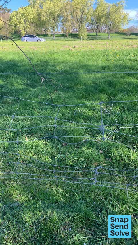
 Dog proof fence by motorway needs repair. Another repair also lodged.
- Graffiti —
- Trees - General —
- Overgrown Vegetation —
- Graffiti —
- Graffiti —
- Graffiti —
- Graffiti —
- Overgrown Vegetation —
 Graffiti —
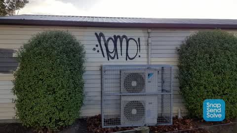
 On small building beside Marylands Park
 Graffiti —
 On building adjacent to Marylands Park, by cycleway
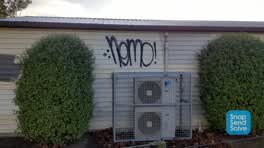 Graffiti —
 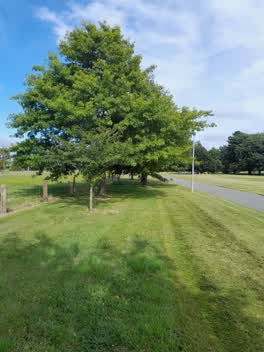 Parks —
 Branches to low
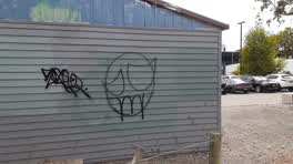 Graffiti —
 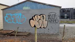 Graffiti —
 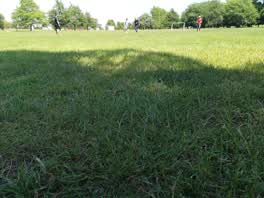 Parks —
 Park needs a mow please!
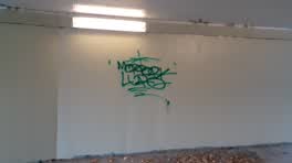 Graffiti —
 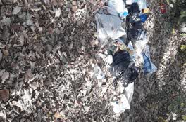 Parks —
 fly tipping
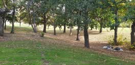 Rubbish/Recycling —
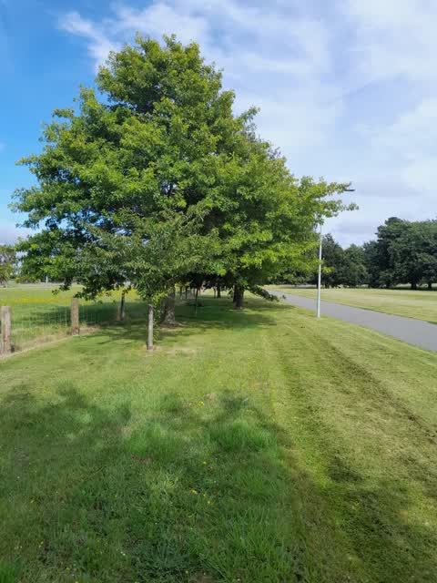
 in the middle of the trees, which are in the middle of mary potter park. down in the dip . directly between Dog club and motor way
Parks —
the piping question in the photo does not appear to be broken however water is for an out of it it is at the rear end of Maori land Park
Graffiti —
again a mixture of graffiti and rubbish at rear end of Marriland Park
Graffiti —
Graffiti —
Graffiti —
facing the park
Graffiti —
Graffiti —
Graffiti —
Graffiti —
Graffiti —
Graffiti —
Maryland's reserve, trees tagged
Graffiti —
Roading/Streets —
The elderberry blew over in a recent storm and is hanging over the cycleway.
Graffiti —
On Maryland's reserve cycleway.
Also reported on Birmingham Drive
- 19E Birmingham Drive — 16 reports
- 6 Birmingham Drive — 15 reports
- 33E Birmingham Drive — 14 reports
- 33 Birmingham Drive — 14 reports
- 26 Birmingham Drive — 13 reports
- 41D Birmingham Drive — 11 reports
- 36 Birmingham Drive — 11 reports
- 19 Birmingham Drive — 11 reports
The street’s crash record
NZTA’s record names Birmingham Drive in 10 crashes that hurt somebody since 2006 — 1 person killed, 1 seriously hurt.
The green nearby
- Marylands Reserve — 10 m to the edge · Sports ground · 6 ha
- Torrens Reserve — 425 m to the edge
- Pavilion Park — 445 m to the edge
- Linden Grove — 456 m to the edge
- Mokihi Reserve — 488 m to the edge
Parks within half a kilometre, measured to the boundary — the council’s open data.
On the doorstep
- Te Whare Mauri Ora — 180 m away · Hospital
- Car Clinic Ch-Ch Ltd — 200 m away · Car repair
- Hillmorton Hospital — 202 m away · Hospital
- Switch Expresso - Roastery — 260 m away · Delis
Businesses within four hundred metres, measured at the pin — OpenStreetMap and the council directories.
The bus nearby
- Birmingham Dr near Halls Pl — 134 m away · route 140
- Birmingham Dr near Halls Pl — 188 m away · route 140
The closest Metro stops, within four hundred and fifty metres.
The tracks through here
- Walk and bike track through Middleton — the line crosses here · walk · bike
- Walk and bike track through Middleton — 85 m to the line · walk · bike
- Walk and bike track through Middleton — 365 m to the line · walk · bike
- Walk and bike track through Middleton — 411 m to the line · walk · bike
- Walk and bike track through Middleton — 468 m to the line · walk · bike
Tracks whose line passes within half a kilometre, measured to the line itself — the council’s open data.
The named ground
Named places within 1.5 km of this address — the open map’s record.
The civic layer
This ground votes in Spreydon ward — the Spreydon-Cashmere-Heathcote community board. Ward lines don’t always follow suburb lines; this one is measured at the pin, not the suburb’s centre.
What stood on this ground → · On the map → · From the air — the Crown’s aerials back to 1936; search the address on RetroLens →
Questions, answered briefly
38 council reports on record since March 2018 — most often graffiti (23), parks (4), graffiti on a fence, building or structure (3).
Middleton, Christchurch — on Birmingham Drive.
Nothing on the heritage register at this exact spot — the record around this ground →
Marylands Reserve — 10 m to its edge, 6 ha.