193 Palmers Road, New Brighton
29 reports on record since October 2015 · 23 with photographs. The street’s heaviest record is 32 Palmers Road — 42 reports on file. Indicative rating valuation and school zones, hazards, bin day and what stood here before.
What gets reported here
Photographed here 23 on record


Reported here
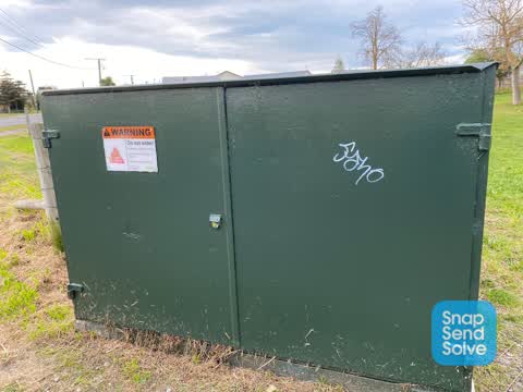
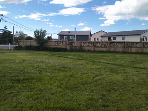
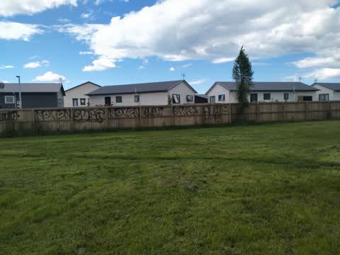
 Graffiti on a fence, building or structure —
 Not sure what this is? But graffiti on it
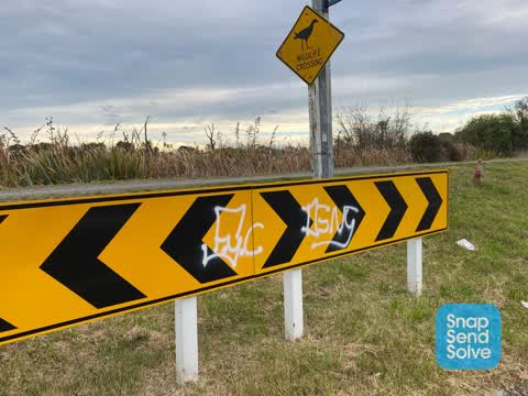
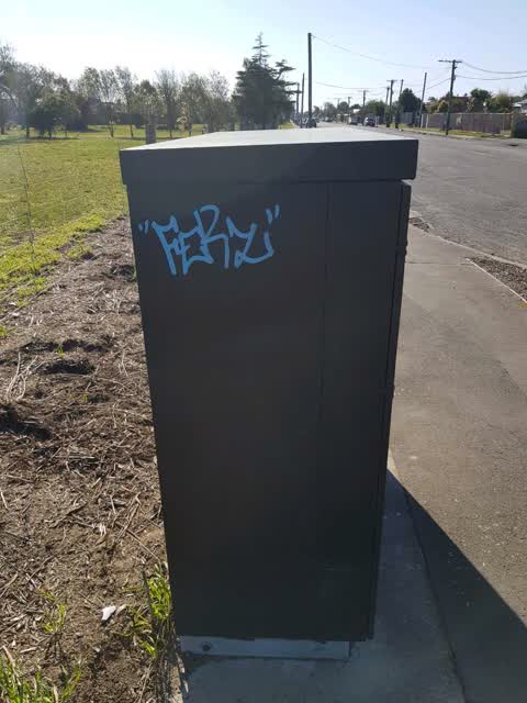
 Graffiti on a sign, mural or public art —
 On the sign facing the end of Palmers Rd
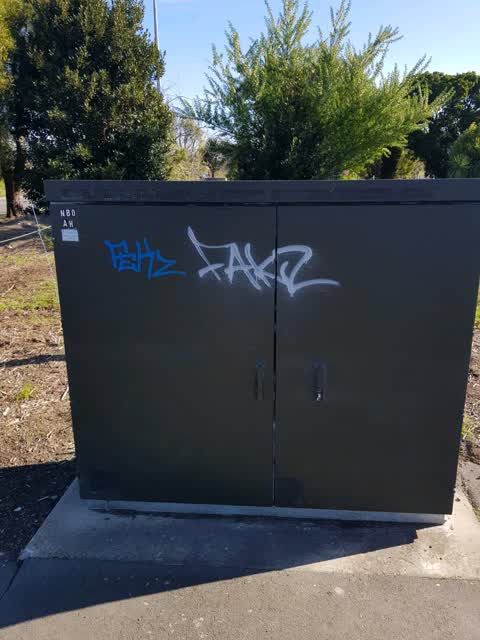
 Graffiti somewhere else —
 - Abandoned Vehicle —
NUMBER PLATE NPF541 Hasn’t moved in so many months I think it’s been dumped there. It’s on the even number side of the street I also thin
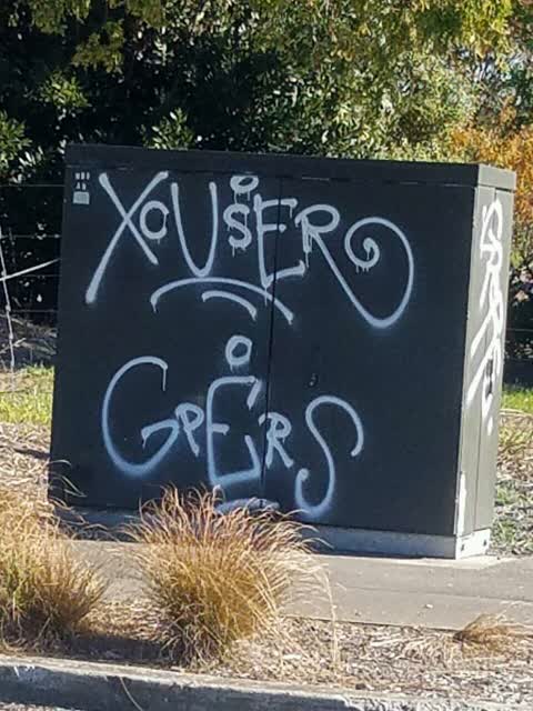
 Graffiti —
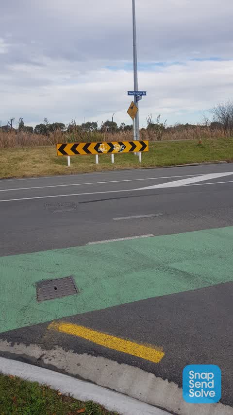
 On corner Palmers and new brighton rd
- Graffiti —
- Graffiti —
- Graffiti —
- Graffiti —
- Graffiti —
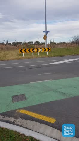 Graffiti —
 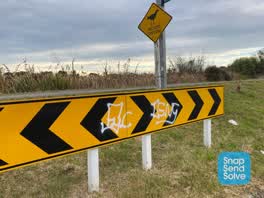 Graffiti —
 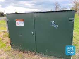 Graffiti —
  Graffiti —
 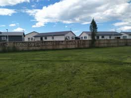 Graffiti —
 Graffiti —
Graffiti —
Graffiti —
Rubbish/Recycling —
Graffiti —
Graffiti —
Graffiti —
Graffiti —
Graffiti —
Graffiti —
Graffiti —
Graffiti —
Graffiti —
Graffiti —
Also reported on Palmers Road
- 32 Palmers Road — 42 reports
- 43 Palmers Road — 20 reports
- 191 Palmers Road — 15 reports
- 90 Palmers Road — 10 reports
- 74 Palmers Road — 9 reports
- 60 Palmers Road — 8 reports
- 42 Palmers Road — 8 reports
- 2 Palmers Road — 8 reports
The street’s crash record
NZTA’s record names Palmers Road in 4 crashes that hurt somebody since 2006 — 0 seriously hurt, nobody killed.
The green nearby
- Cockayne Reserve — 23 m to the edge · Regional · 6 ha
- Jack Hinton Reserve — 158 m to the edge
- Farnborough Reserve — 367 m to the edge · 2 ha
- Bower Park — 416 m to the edge · Sports ground · 4 ha
- Rawhiti Domain — 499 m to the edge · Sports ground · 61 ha
Parks within half a kilometre, measured to the boundary — the council’s open data.
On the doorstep
- Sandy Feet Hotel — 338 m away · Hotels
- Bower Fish Supply — 341 m away · Fast food
- Purple-der House — 343 m away · Motels
- Fast Camel Souvlaki Takeaway — 344 m away · Fast food
Businesses within four hundred metres, measured at the pin — OpenStreetMap and the council directories.
The bus nearby
- Bower Ave near New Brighton Rd — 367 m away · route 80
- New Brighton Rd near Bower Ave — 406 m away · route 80
The closest Metro stops, within four hundred and fifty metres.
The tracks through here
- Walk and bike track through New Brighton — 15 m to the line · walk · bike
- Walk and bike track through New Brighton — 85 m to the line · walk · bike
- Walk and bike track through New Brighton — 155 m to the line · walk · bike
- Walk and bike track through New Brighton — 238 m to the line · walk · bike
- Walk and bike track through New Brighton — 475 m to the line · walk · bike
Tracks whose line passes within half a kilometre, measured to the line itself — the council’s open data.
The named ground
Named water within 500 m of this address, measured to the line or the edge; Named places within 1.5 km of this address — the open map’s record.
The remembered names nearby
- John (Jack) Daniel Hinton V.C. 20th New Zealand Battalion — 225 m away ·
John (Jack) Daniel Hinton V.C. 20th New Zealand Battalion 1909 – 1997 / This reserve is de
· 2009
Inscribed plaques within two hundred and fifty metres — the register’s pins, not surveyed spots. The whole roll is at /plaques.
Renting nearby
new bonds in New Brighton ran about $520 a week — $30 below the city median of $550 — the suburb page keeps the rent record →.
The civic layer
This ground votes in Coastal ward — the Coastal-Burwood-Linwood community board. Ward lines don’t always follow suburb lines; this one is measured at the pin, not the suburb’s centre.
What stood on this ground → · On the map → · From the air — the Crown’s aerials back to 1936; search the address on RetroLens →
Questions, answered briefly
29 council reports on record since October 2015 — most often graffiti (24), rubbish/recycling (1), graffiti somewhere else (1).
New Brighton, Christchurch — on Palmers Road.
Nothing on the heritage register at this exact spot — the record around this ground →
Cockayne Reserve — 23 m to its edge, 6 ha.