20 Willryan Avenue, New Brighton
14 reports on record since March 2017 · 10 with photographs. The most-reported address on Willryan Avenue. Indicative rating valuation and school zones, hazards, bin day and what stood here before.
What gets reported here
- Overgrown Vegetation — 3
- Graffiti — 3
- Dumped Rubbish — 3
- Parks — 2
- Water Leak — 1
- Trees - General — 1
Photographed here 10 on record



Reported here
 Trees - General —
 There are 4 standing dead trees with limbs falling and 2 confers have been dying for the last year now so removal is key
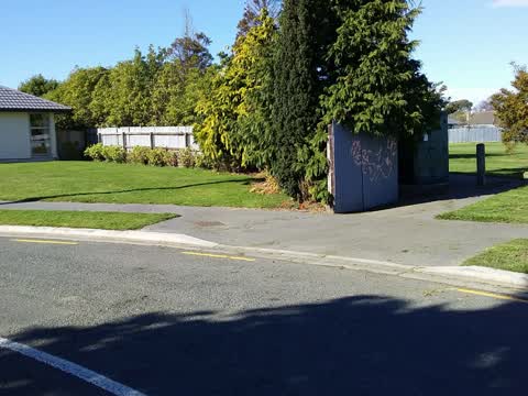
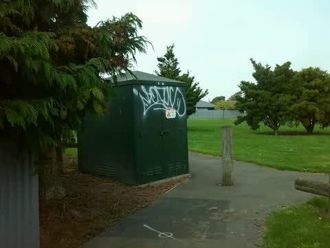
 Graffiti on a cabinet, pole or railway asset —
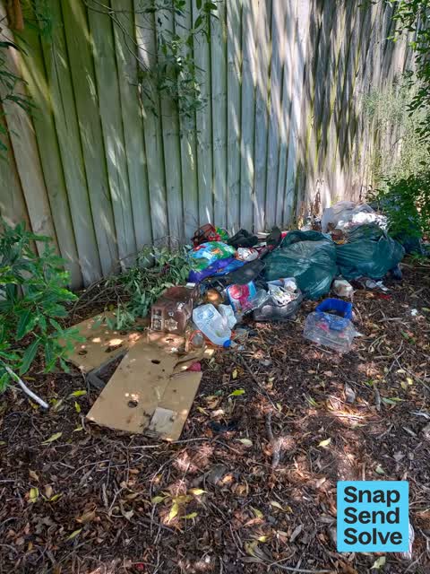
  Dumped Rubbish —
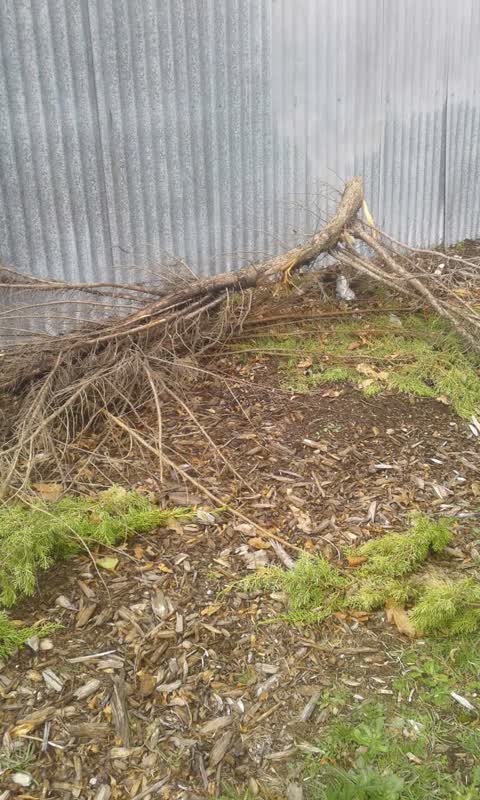
 Bamboo scrap dumped in park
 Overgrown Vegetation —
 Hi team, The ivy beside our section in Bower Park has improved but has not killed it completely. We would appreciate if another you could d
 Dumped Rubbish —
 Pile of rubbish dumped in Bower Park to the right of the lane which goes through to Bower Ave. Was in black bags but has been broken open
 Water Leak —
 The CCC has recently excavated and planted out a garden area beside 20 Willryan Avenue. We have noticed a increase in water seepage near the
- Overgrown Vegetation —
- Overgrown Vegetation —
- Dumped Rubbish —
 Parks —
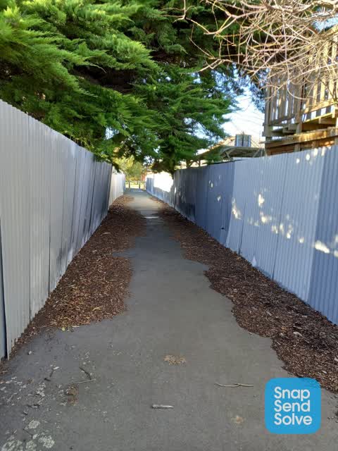
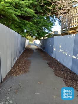
 The alley way is very overgrown & full of leaves & crap. Nothing is ever done to maintain it. Not a nicec place to walk at 6am. We pay rates
Parks —
large broken branche
 Graffiti —
 - Graffiti —
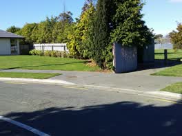
Bower park. William ave end
Graffiti —
Also reported on Willryan Avenue
- 8 Willryan Avenue — 8 reports
- 52 Willryan Avenue — 6 reports
- 21 Willryan Avenue — 5 reports
- 91 Willryan Avenue — 4 reports
- 56 Willryan Avenue — 4 reports
- 15 Willryan Avenue — 4 reports
- 11 Willryan Avenue — 4 reports
- 64 Willryan Avenue — 3 reports
The green nearby
- Bower Park — you are in it · Sports ground · 4 ha
- Cockayne Reserve — 308 m to the edge · Regional · 6 ha
- Hulverstone Reserve — 334 m to the edge
Parks within half a kilometre, measured to the boundary — the council’s open data.
On the doorstep
- Urban Corner Cafe — 276 m away · Cafés
- The Bower — 292 m away · Bars & pubs
- Fast Camel Souvlaki Takeaway — 299 m away · Fast food
- Bower Fish Supply — 301 m away · Fast food
Businesses within four hundred metres, measured at the pin — OpenStreetMap and the council directories.
The bus nearby
The closest Metro stops, within four hundred and fifty metres.
The tracks through here
- Walk and bike track through New Brighton — 276 m to the line · walk · bike
- Walk and bike track through New Brighton — 289 m to the line · walk · bike
- Walk and bike track through New Brighton — 295 m to the line · walk · bike
- Walk and bike track through New Brighton — 335 m to the line · walk · bike
- Walk and bike track through New Brighton — 339 m to the line · walk · bike
Tracks whose line passes within half a kilometre, measured to the line itself — the council’s open data.
The named ground
Named water within 500 m of this address, measured to the line or the edge — the open map’s record.
Renting nearby
new bonds in New Brighton ran about $520 a week — $30 below the city median of $550 — the suburb page keeps the rent record →.
The civic layer
This ground votes in Coastal ward — the Coastal-Burwood-Linwood community board. Ward lines don’t always follow suburb lines; this one is measured at the pin, not the suburb’s centre.
What stood on this ground → · On the map → · From the air — the Crown’s aerials back to 1936; search the address on RetroLens →
Questions, answered briefly
14 council reports on record since March 2017 — most often overgrown vegetation (3), graffiti (3), dumped rubbish (3).
New Brighton, Christchurch — on Willryan Avenue.
Nothing on the heritage register at this exact spot — the record around this ground →
Bower Park — the address is inside it, 4 ha.