535 New Brighton Road, New Brighton
12 reports on record since June 2018 · 10 with photographs. The street’s heaviest record is 481 New Brighton Road — 76 reports on file. Indicative rating valuation and school zones, hazards, bin day and what stood here before.
What gets reported here
- Graffiti — 4
- Graffiti somewhere else — 2
- Graffiti on a fence, building or structure — 2
- Pavement - Damaged — 1
- Overgrown Vegetation — 1
- General Request — 1
Photographed here 10 on record



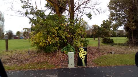
Reported here
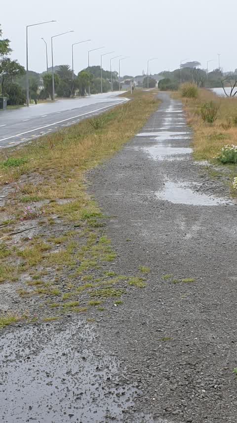
 Pavement - Damaged —
 large rut in path
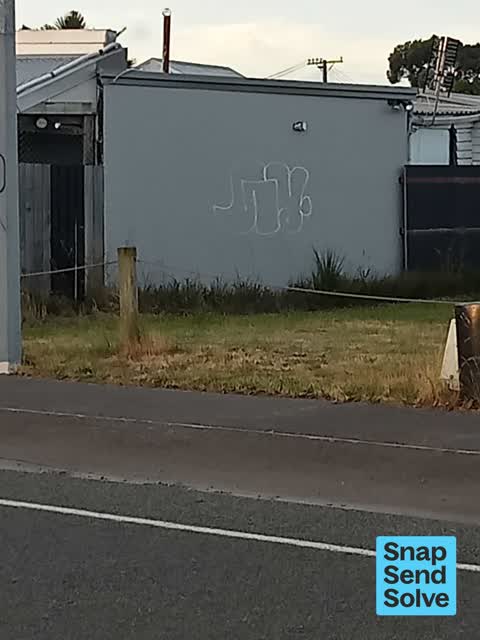
 Graffiti on a fence, building or structure —
 graffiti on wall redzone grey
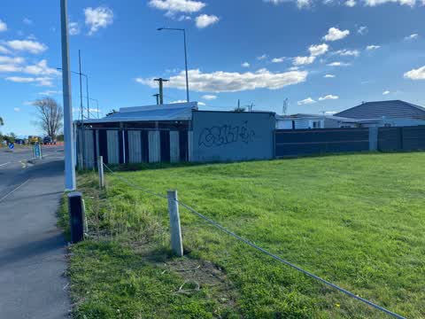
 Graffiti on a fence, building or structure —
 Same graffiti on three street lamp posts
 General Request —
  Graffiti somewhere else —
 Second time this is reported Is on red zone land
 Graffiti somewhere else —
 Graffiti on grey wall
- Graffiti —
- Overgrown Vegetation —
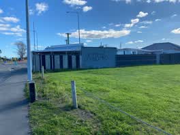 Graffiti —
 Red zone side
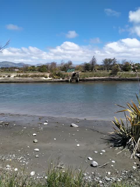
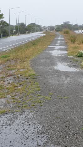 Flooding —
 Deep flooding by new brighton Bridge and new brighton road
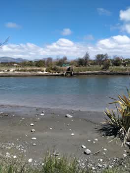 Graffiti —
 Graffiti —
Also reported on New Brighton Road
- 481 New Brighton Road — 76 reports
- 479 New Brighton Road — 59 reports
- 475 New Brighton Road — 42 reports
- 564 New Brighton Road — 38 reports
- 487 New Brighton Road — 31 reports
- 483 New Brighton Road — 31 reports
- 528 New Brighton Road — 27 reports
- 532 New Brighton Road — 24 reports
The street’s crash record
NZTA’s record names New Brighton Road in 24 crashes that hurt somebody since 2006 — 2 seriously hurt, nobody killed.
The green nearby
- Cockayne Reserve — 8 m to the edge · Regional · 6 ha
- Jack Hinton Reserve — 205 m to the edge
- Mitcham Reserve — 221 m to the edge
- Rawhiti Domain — 294 m to the edge · Sports ground · 61 ha
- Farnborough Reserve — 333 m to the edge · 2 ha
Parks within half a kilometre, measured to the boundary — the council’s open data.
The bus nearby
The closest Metro stops, within four hundred and fifty metres.
The tracks through here
- Walk and bike track through New Brighton — 2 m to the line · walk · bike
- Walk and bike track through New Brighton — 30 m to the line · walk · bike
- Walk and bike track through New Brighton — 94 m to the line · walk · bike
- Walk and bike track through New Brighton — 301 m to the line · walk · bike
- Walk and bike track through New Brighton — 417 m to the line · walk · bike
Tracks whose line passes within half a kilometre, measured to the line itself — the council’s open data.
The named ground
Named water within 500 m of this address, measured to the line or the edge; Named places within 1.5 km of this address — the open map’s record.
The remembered names nearby
- John (Jack) Daniel Hinton V.C. 20th New Zealand Battalion — 248 m away ·
John (Jack) Daniel Hinton V.C. 20th New Zealand Battalion 1909 – 1997 / This reserve is de
· 2009
Inscribed plaques within two hundred and fifty metres — the register’s pins, not surveyed spots. The whole roll is at /plaques.
Renting nearby
new bonds in New Brighton ran about $520 a week — $30 below the city median of $550 — the suburb page keeps the rent record →.
The civic layer
This ground votes in Coastal ward — the Coastal-Burwood-Linwood community board. Ward lines don’t always follow suburb lines; this one is measured at the pin, not the suburb’s centre.
What stood on this ground → · On the map → · From the air — the Crown’s aerials back to 1936; search the address on RetroLens →
Questions, answered briefly
12 council reports on record since June 2018 — most often graffiti (4), graffiti somewhere else (2), graffiti on a fence, building or structure (2).
New Brighton, Christchurch — on New Brighton Road.
Nothing on the heritage register at this exact spot — the record around this ground →
Cockayne Reserve — 8 m to its edge, 6 ha.