6 Union Street, New Brighton
12 reports on record since October 2017 · 12 with photographs. The street’s heaviest record is 132 Union Street — 34 reports on file. Indicative rating valuation and school zones, hazards, bin day and what stood here before.
What gets reported here
Photographed here 12 on record


Reported here
 Hazard — vehicle —
 This car was doing the exact same thing only only 10 days ago. they've finally stopped parking over 2x car spaces with the 1 vehicle. only
 Hazard — vehicle —
 this car continues to occupy Two 10 min parking spaces, taking up any chance of others being able to legally park in correct space
 Pavement - Damaged —
  Damaged Street Sign —
 Hi, first sign turned around and next one completely missing
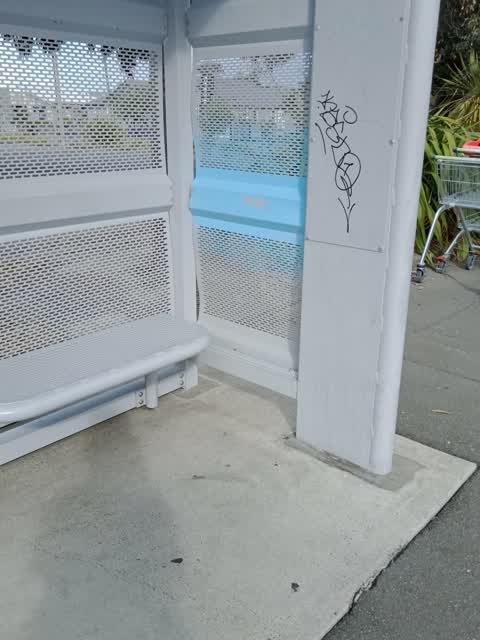
 Graffiti on a fence, building or structure —
  Graffiti on a fence, building or structure —
  Accessibility —
 The ramp needs a handrail. I believe this is a council owned building.
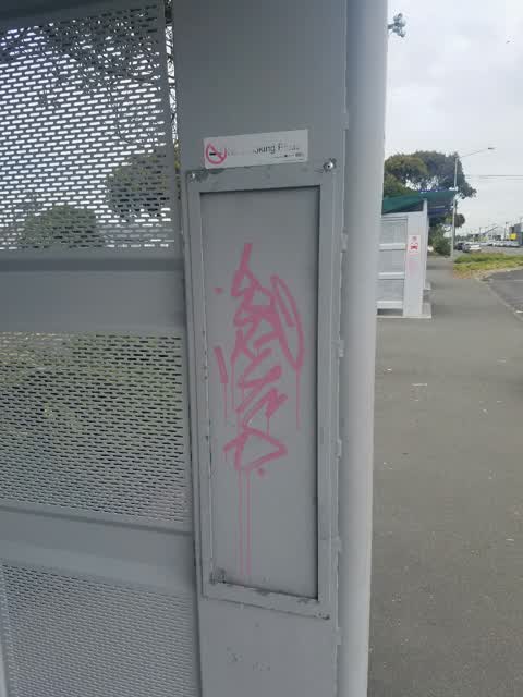
 Graffiti somewhere else —
 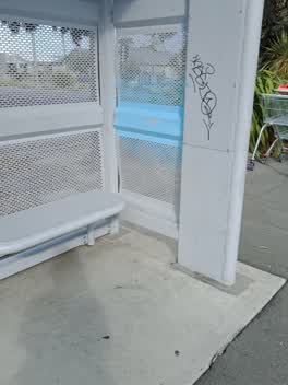 Graffiti —
 Parks —
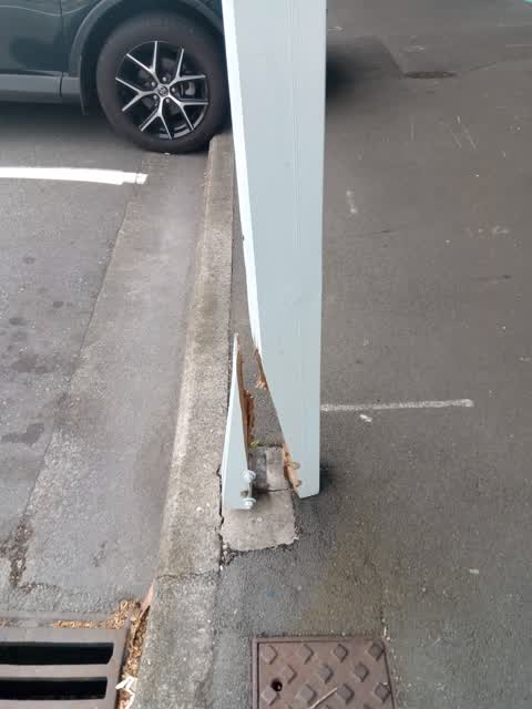
vehicle has run into veradah support (I presume) outside council boardroom in Union St. support has snapped and is dangling. Structural and
Water Supply —
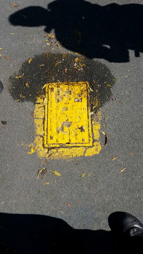
Hydrant on cnr Beresford and Union opposite point break backpackers is frozen and will not open
Graffiti —
Also reported on Union Street
- 132 Union Street — 34 reports
- 5 Union Street — 21 reports
- 194 Union Street — 12 reports
- 36 Union Street — 11 reports
- 75 Union Street — 9 reports
- 134A Union Street — 9 reports
- 111 Union Street — 9 reports
- 175 Union Street — 8 reports
The street’s crash record
NZTA’s record names Union Street in 18 crashes that hurt somebody since 2006 — 1 seriously hurt, nobody killed.
The green nearby
- New Brighton Mall Playground — 191 m to the edge
- Withells Island Reserve — 311 m to the edge · 4 ha
- New Brighton Beach Developed — 318 m to the edge · Regional · 2 ha
- New Brighton Beach — 361 m to the edge · Regional · 10 ha
- Rawhiti Domain — 415 m to the edge · Sports ground · 61 ha
Parks within half a kilometre, measured to the boundary — the council’s open data.
The civic shelf nearby
- New Brighton Library — 353 m away · Library · 60 Brighton Mall, New Brighton, Christchurch 8061
Libraries, halls and the rest within half a kilometre — the council’s open data.
On the doorstep
- Point Break Café — 11 m away · Cafés
- Point Break Backpackers — 14 m away · Hostels
- SBA Small Business Accounting — 20 m away · Accountants
- New Brighton Lotto & Discounter — 25 m away · Dairies & convenience
Businesses within four hundred metres, measured at the pin — OpenStreetMap and the council directories.
The bus nearby
- New Brighton (Beresford St) — 37 m away · route 5, route 110
- Beresford St — 53 m away · route 5, route 110
The closest Metro stops, within four hundred and fifty metres.
The tracks through here
- Walk and bike track through New Brighton — 178 m to the line · walk · bike
- Walk and bike track through New Brighton — 358 m to the line · walk · bike
- Walk and bike track through New Brighton — 372 m to the line · walk · bike
- Walk and bike track through New Brighton — 424 m to the line · walk · bike
- Walk and bike track through New Brighton — 447 m to the line · walk · bike
Tracks whose line passes within half a kilometre, measured to the line itself — the council’s open data.
The named ground
Named water within 500 m of this address, measured to the line or the edge; Named places within 1.5 km of this address — the open map’s record.
Renting nearby
new bonds in New Brighton ran about $520 a week — $30 below the city median of $550 — the suburb page keeps the rent record →.
What was here — St Faith's Church and Setting
181 m away · 50 Hawke Street · located to ±19 m · the place’s own record →
On the register. Nothing researched here yet.
The civic layer
This ground votes in Coastal ward — the Coastal-Burwood-Linwood community board. Ward lines don’t always follow suburb lines; this one is measured at the pin, not the suburb’s centre.
What stood on this ground → · On the map → · From the air — the Crown’s aerials back to 1936; search the address on RetroLens →
Questions, answered briefly
12 council reports on record since October 2017 — most often hazard — vehicle (2), graffiti on a fence, building or structure (2), graffiti (2).
New Brighton, Christchurch — on Union Street.
The heritage register names a place at or beside it — St Faith's Church and Setting.
New Brighton Mall Playground — 191 m to its edge.