1 Marine Parade, North New Brighton
12 reports on record since September 2017 · 11 with photographs. The street’s heaviest record is 76A Marine Parade — 59 reports on file. Indicative rating valuation and school zones, hazards, bin day and what stood here before.
What gets reported here
- Graffiti — 6
- Graffiti on a fence, building or structure — 2
- Roading/Streets — 1
- Pavement - Damaged — 1
- Park - General Request — 1
- General Request — 1
Photographed here 11 on record


Reported here
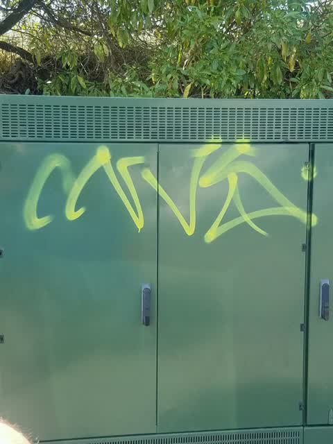
 Graffiti on a fence, building or structure —
 Unsure who this belongs to
 General Request —
 Minor Safety Improvements Can we please get some advice on prioritisation of the corner of Marine Parade and Beach road for safety upgrade
 Park - General Request —
 Vehicle crash has dislodged a large rock at waimari Beach carpark. Risk.of damage to veh, people high. Too big to move
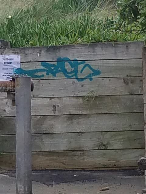
 Graffiti on a fence, building or structure —
 - Graffiti —
 Pavement - Damaged —
 Safety issue. Good morning team Please see the photo of damaged footpath due to Lamp post replacement on the corner of Marine Pde and Beac
 Roading/Streets —
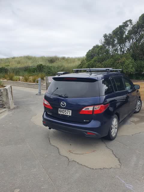
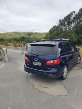
 Blocking access to the surf club access way.
 Graffiti —
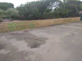
 Waimairi Beach car park
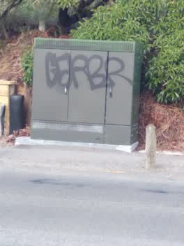 Graffiti —
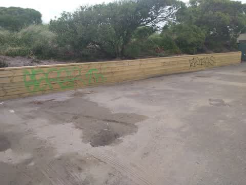
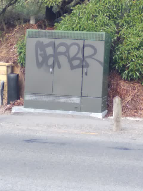
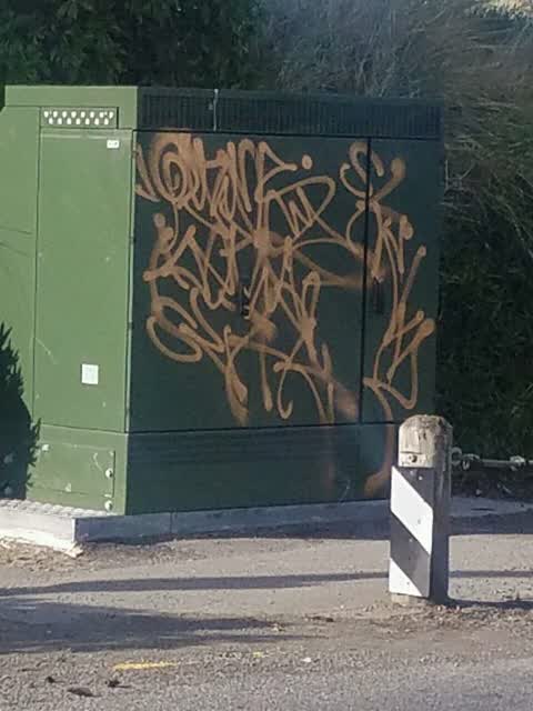
 Graffiti on electrical box and adjacent wooden fence in Waimairi Surf Club carpark. Graffiti also on toilet external wall at Beach Rd end of
Graffiti —
Graffiti —
Graffiti —
Also reported on Marine Parade
- 76A Marine Parade — 59 reports
- 76 Marine Parade — 49 reports
- 80 Marine Parade — 45 reports
- 93 Marine Parade — 34 reports
- 4 Marine Parade — 27 reports
- 3 Marine Parade — 22 reports
- 91 Marine Parade — 13 reports
- 66 Marine Parade — 12 reports
The street’s crash record
NZTA’s record names Marine Parade in 10 crashes that hurt somebody since 2006 — 5 seriously hurt, nobody killed.
The green nearby
- North Beach — 3 m to the edge · Regional · 18 ha
- Broad Park — 29 m to the edge · 2 ha
- Waimairi Beach Park — 29 m to the edge · Regional · 61 ha
Parks within half a kilometre, measured to the boundary — the council’s open data.
On the doorstep
- Beach Cafe & Wine Bar — 109 m away · Cafés
- Jungle Cafe — 111 m away · Cafés
- At The Beach Bed & Breakfast — 112 m away · B&Bs
- Brighton Beach House — 112 m away · Cafés
Businesses within four hundred metres, measured at the pin — OpenStreetMap and the council directories.
The bus nearby
The closest Metro stops, within four hundred and fifty metres.
The tracks through here
- Walk and bike track through North New Brighton — 214 m to the line · walk · bike
Tracks whose line passes within half a kilometre, measured to the line itself — the council’s open data.
The named ground
Named places within 1.5 km of this address; the council’s own structure register — bridges, boardwalks and steps standing nearby — the open map’s record.
The remembered names nearby
- Sculpted by Te Pani Trust in Partnership With Christchurch — 74 m away ·
Sculpted by Te Pani Trust in partnership with Christchurch City Council 2004
· 2009
Inscribed plaques within two hundred and fifty metres — the register’s pins, not surveyed spots. The whole roll is at /plaques.
Renting nearby
new bonds in North New Brighton ran about $560 a week — $10 above the city median of $550 — the suburb page keeps the rent record →.
The civic layer
This ground votes in Coastal ward — the Coastal-Burwood-Linwood community board. Ward lines don’t always follow suburb lines; this one is measured at the pin, not the suburb’s centre.
What stood on this ground → · On the map → · From the air — the Crown’s aerials back to 1936; search the address on RetroLens →
Questions, answered briefly
12 council reports on record since September 2017 — most often graffiti (6), graffiti on a fence, building or structure (2), roading/streets (1).
North New Brighton, Christchurch — on Marine Parade.
Nothing on the heritage register at this exact spot — the record around this ground →
North Beach — 3 m to its edge, 18 ha.