10 Marriotts Road, North New Brighton
12 reports on record since July 2015 · 11 with photographs. The street’s heaviest record is 3 Marriotts Road — 19 reports on file. Indicative rating valuation and school zones, hazards, bin day and what stood here before.
What gets reported here
Photographed here 11 on record


Reported here
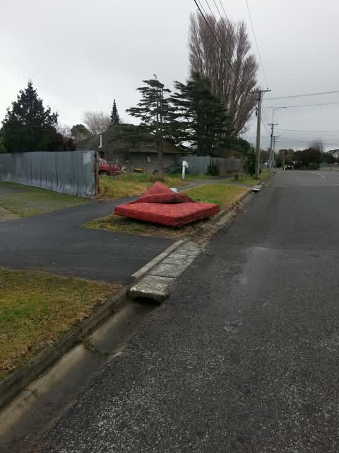
 Dumped Rubbish —
A lot of rubbish on the pavement, also in this abandoned section, and on the Bower Ave side of the property as well
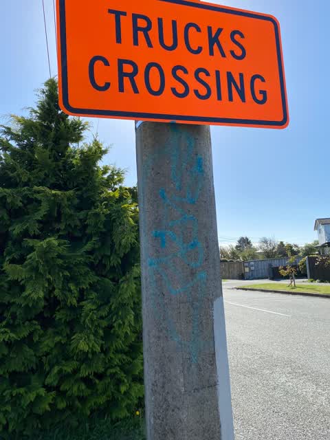
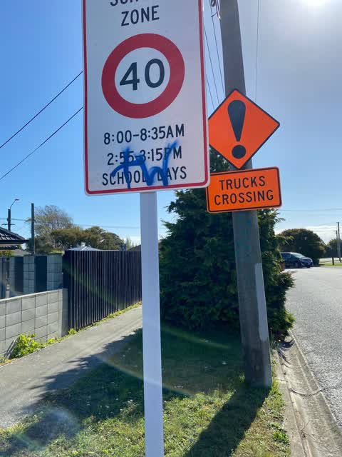
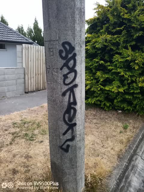
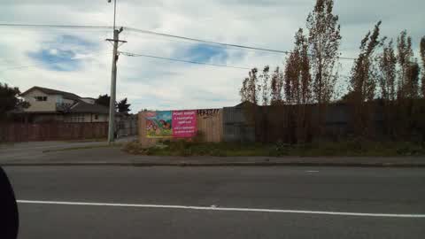
 Graffiti on a fence, building or structure —
graffiti on black wooden fence
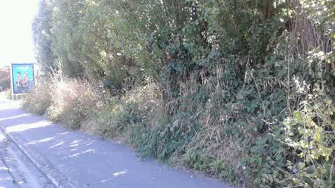
 Overgrown Vegetation —
Overgrown vegetation on council berm either side of bus shelter
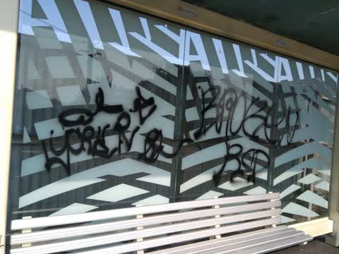
 Graffiti on a bus stop or public toilet —
- Graffiti —
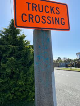 Graffiti —
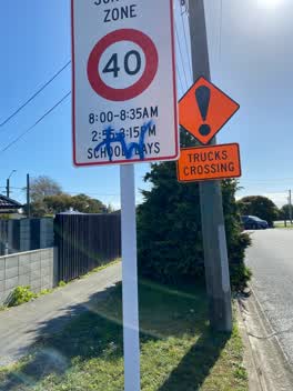 Graffiti —
Graffiti —
bus shelter
Roading/Streets —
Graffiti —
Rubbish/Recycling —
Abandoned Samoan church site.
Also reported on Marriotts Road
- 3 Marriotts Road — 19 reports
- 59 Marriotts Road — 14 reports
- 42 Marriotts Road — 8 reports
- 65 Marriotts Road — 7 reports
- 52 Marriotts Road — 6 reports
- 19 Marriotts Road — 6 reports
- 85 Marriotts Road — 5 reports
- 36 Marriotts Road — 4 reports
The street’s crash record
NZTA’s record names Marriotts Road in 4 crashes that hurt somebody since 2006 — 1 seriously hurt, nobody killed.
The green nearby
- Queen Elizabeth Ii Park — 38 m to the edge · Sports ground · 49 ha
- Endeavour Playground — 466 m to the edge
Parks within half a kilometre, measured to the boundary — the council’s open data.
On the doorstep
- Monthai Takeaway — 303 m away · Fast food
- Taiora QEII Recreation and Sports Centre — 305 m away · Sports centres
- The Bottle O QEII — 316 m away · Bottle stores
- Chats Bar & Cafe — 318 m away · Bars & pubs
Businesses within four hundred metres, measured at the pin — OpenStreetMap and the council directories.
The bus nearby
- Bower Ave near Dick Taylor Dr — 34 m away · route 80, route 135
- Bower Ave near Dick Taylor Dr — 37 m away · route 80
The closest Metro stops, within four hundred and fifty metres.
The named ground
Named places within 1.5 km of this address — the open map’s record.
Renting nearby
new bonds in North New Brighton ran about $560 a week — $10 above the city median of $550 — the suburb page keeps the rent record →.
The civic layer
This ground votes in Coastal ward — the Coastal-Burwood-Linwood community board. Ward lines don’t always follow suburb lines; this one is measured at the pin, not the suburb’s centre.
What stood on this ground → · On the map → · From the air — the Crown’s aerials back to 1936; search the address on RetroLens →
Questions, answered briefly
12 council reports on record since July 2015 — most often graffiti (6), rubbish/recycling (1), roading/streets (1).
North New Brighton, Christchurch — on Marriotts Road.
Nothing on the heritage register at this exact spot — the record around this ground →
Queen Elizabeth Ii Park — 38 m to its edge, 49 ha.