15 Rotoiti Lane
3 council reports since February 2019, 3 carrying a photograph. The most-reported address on Rotoiti Lane.
From the air, then
Sourced from Canterbury Maps and partners. LINZ, CC BY 3.0 NZ. Each frame is cut from Environment Canterbury’s historic imagery MapServer for that decade, only where the Footprints layer names a CC BY survey (NZAM-covered spots stay out). RetroLens holds more Crown aerials →
The named ground
Named water within 500 m of this address, measured to the line or the edge, the open map’s record.
Renting nearby
new bonds in Northwood ran about $530 a week, $20 below the city median of $550, the suburb page keeps the rent record →.
What gets reported here
- Parks, 2
- Water Supply, 1
Photographed here 3 on record
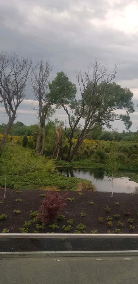
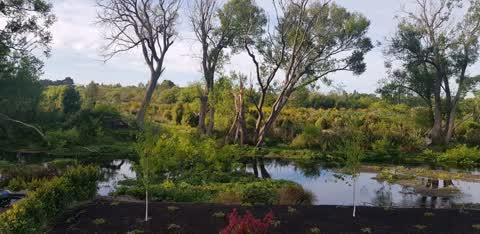
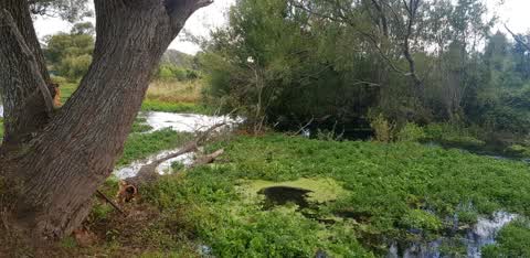
What’s on record
Water Supply, 13 Nov 2019
dead tree about to fall on top of broken tree. will then be a real flooding concern for properties on rotoiti lane
Parks, 31 Oct 2019
the big wind took down a massive branch into waterway. will cause issues with flooding going forward
Parks, 27 Feb 2019
Hi branch in water broken off tree . Flood concern
Elsewhere on Rotoiti Lane
- 33–69 Rotoiti Lane, 1 report
- 1A Rotoiti Lane, 1 report
- 112 Rotoiti Lane, 1 report
- 110 Rotoiti Lane, 1 report
- 1 Rotoiti Lane, 1 report
The civic layer
This ground votes in Harewood ward, the Fendalton-Waimairi-Harewood community board is its local layer. Ward lines don’t always follow suburb lines; this one is measured at the pin, not the suburb’s centre. The whole roll is at /wards.
Rotoiti Lane, the whole record → · Everything about Northwood → · What stood on this ground → · On the map → · From the air, RetroLens holds the Crown’s aerials back to 1936; search the address there →
Questions, answered briefly
3 council reports on record since February 2019, most often parks (2), water supply (1).
Northwood, Christchurch, on Rotoiti Lane.
Nothing on the heritage register at this exact spot, the record around this ground →