118 Opawa Road, Opawa
15 reports on record since May 2016 · 14 with photographs. The street’s heaviest record is 124 Opawa Road — 17 reports on file. Indicative rating valuation and school zones, hazards, bin day and what stood here before.
What gets reported here
Photographed here 14 on record

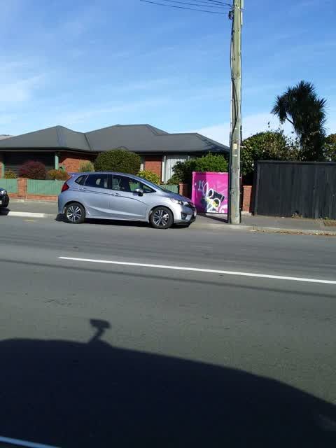
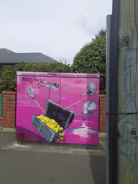
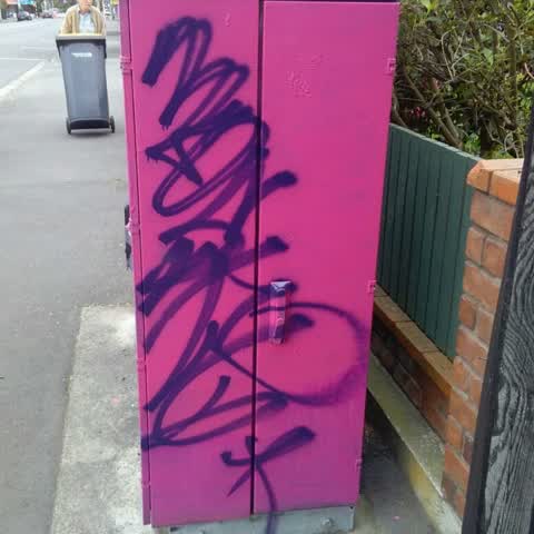
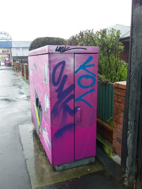
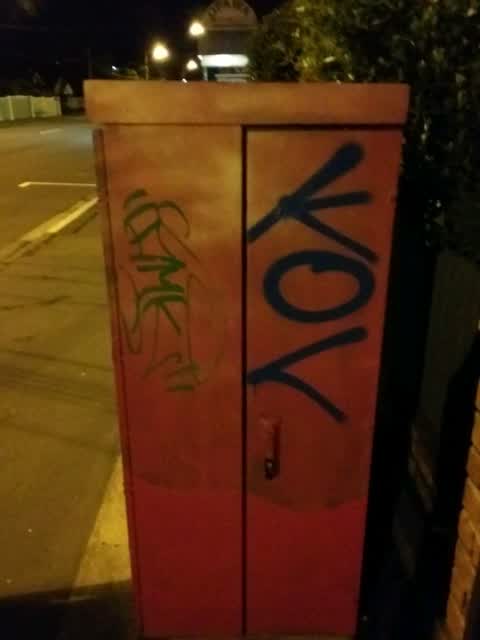
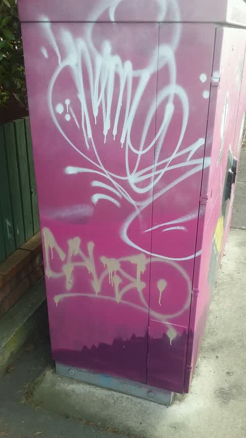
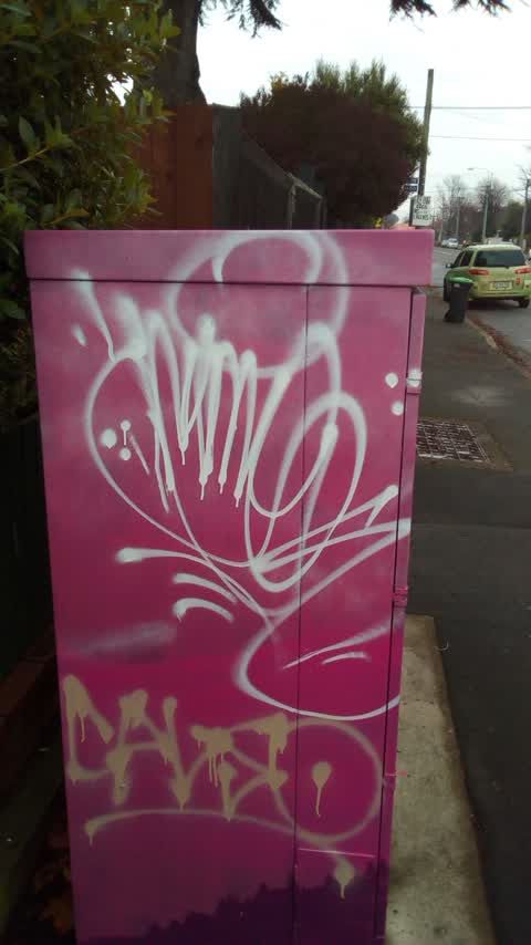
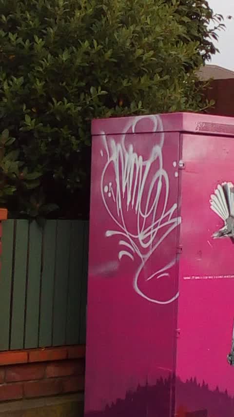
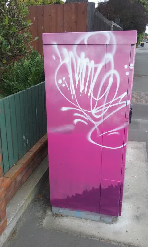
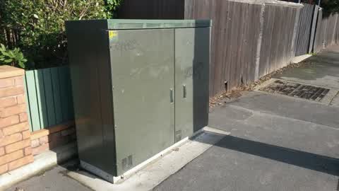
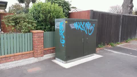
Reported here
 Graffiti on a cabinet, pole or railway asset —
 Just past mall
- Water Leak —
Graffiti —
Graffiti —
Graffiti —
Tag on utility box.actually 120 Opawa Rd
Graffiti —
Graffiti —
Onside of box
Graffiti —
Graffiti —
Graffiti —
Graffiti —
Graffiti —
Cabinet BKM P
Graffiti —
Cabinet bkm p
Graffiti —
Private fence
Graffiti —
Cabinet BKM P
Also reported on Opawa Road
- 124 Opawa Road — 17 reports
- 147 Opawa Road — 15 reports
- 97L Opawa Road — 14 reports
- 135 Opawa Road — 13 reports
- 150A Opawa Road — 12 reports
- 114 Opawa Road — 10 reports
- 76 Opawa Road — 9 reports
- 150 Opawa Road — 9 reports
The street’s crash record
NZTA’s record names Opawa Road in 18 crashes that hurt somebody since 2006 — 1 person killed, 5 seriously hurt.
The green nearby
- Risingholme Park — 187 m to the edge · Botanic · 2 ha
- Heathcote Riverbank Reserve — 279 m to the edge
- Hansen Park — 450 m to the edge · Sports ground · 12 ha
- Monro Playground — 478 m to the edge
Parks within half a kilometre, measured to the boundary — the council’s open data.
On the doorstep
- Kowhai Vet — 31 m away · Vets
- Opawa Surgery — 40 m away · Doctors & clinics
- Opawa Cafe — 41 m away · Cafés
- Hardwok express — 43 m away · Fast food
Businesses within four hundred metres, measured at the pin — OpenStreetMap and the council directories.
The bus nearby
The closest Metro stops, within four hundred and fifty metres.
The tracks through here
- Walk and bike track through Opawa — 101 m to the line · walk · bike
- Walk and bike track through Opawa — 199 m to the line · walk · bike
- Walk and bike track through Opawa — 217 m to the line · walk · bike
- Walk and bike track through Opawa — 232 m to the line · walk · bike
- Walk and bike track through Opawa — 265 m to the line · walk · bike
Tracks whose line passes within half a kilometre, measured to the line itself — the council’s open data.
The named ground
Named water within 500 m of this address, measured to the line or the edge; the council’s own structure register — bridges, boardwalks and steps standing nearby — the open map’s record.
The remembered names nearby
- Ginkgo Biloba This Tree Was Planted to Commemorate the Work — 234 m away ·
GINKGO BILOBA THIS TREE WAS PLANTED TO COMMEMORATE THE WORK OF DOROTHY RANGI CRUMPTON DIRE
· 2009
Inscribed plaques within two hundred and fifty metres — the register’s pins, not surveyed spots. The whole roll is at /plaques.
Renting nearby
new bonds in Opawa ran about $555 a week — about the city median — the suburb page keeps the rent record →.
What was here — Dwelling and Setting, The Hollies
190 m away · 188 Richardson Terrace · located to ±22 m · the place’s own record →
On the register. Nothing researched here yet.
The civic layer
This ground votes in Heathcote ward — the Spreydon-Cashmere-Heathcote community board. Ward lines don’t always follow suburb lines; this one is measured at the pin, not the suburb’s centre.
What stood on this ground → · On the map → · From the air — the Crown’s aerials back to 1936; search the address on RetroLens →
Questions, answered briefly
15 council reports on record since May 2016 — most often graffiti (13), water leak (1), graffiti on a cabinet, pole or railway asset (1).
Opawa, Christchurch — on Opawa Road.
The heritage register names a place at or beside it — Dwelling and Setting, The Hollies.
Risingholme Park — 187 m to its edge, 2 ha.