275 Fifield Terrace, Opawa
14 reports on record since September 2020 · 9 with photographs. The most-reported address on Fifield Terrace. Indicative rating valuation and school zones, hazards, bin day and what stood here before.
What gets reported here
- Fallen Tree — 4
- Roading/Streets — 2
- Pavement - Damaged — 2
- Overgrown Vegetation — 2
- Trees - General — 1
- Rubbish/Recycling — 1
Photographed here 9 on record


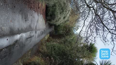

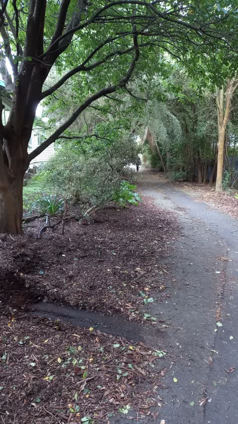
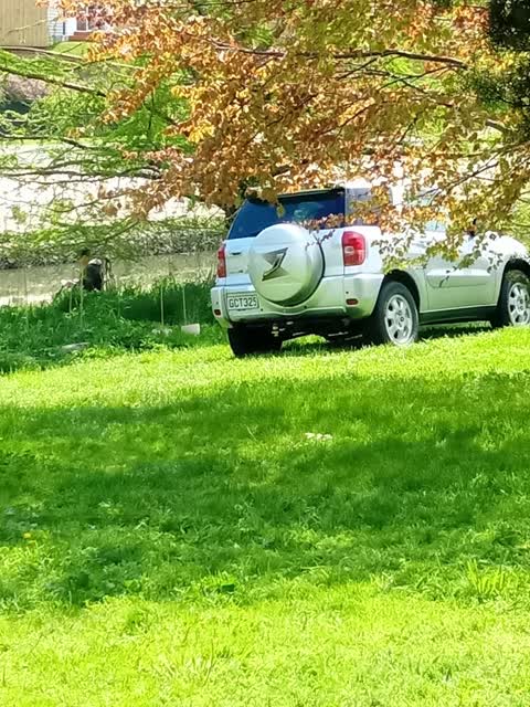
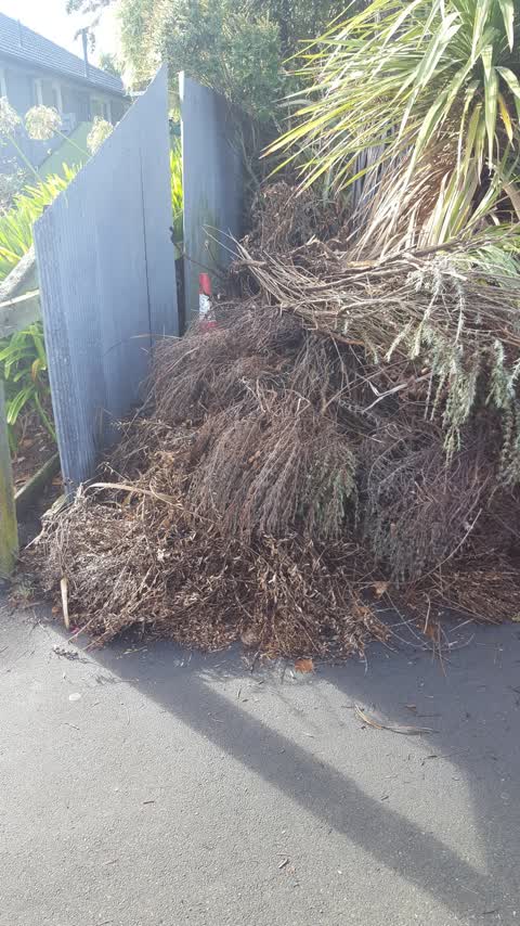
Reported here
 Accessibility —
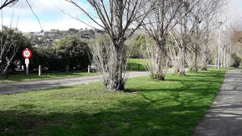
 Pedestrians illegally crossing railway through broken fence and warning signs graffitied badly so can't read
 Pavement - Damaged —
  Pavement - Damaged —
 - Fallen Tree —
- Fallen Tree —
- Fallen Tree —
- Fallen Tree —
- Trees - General —
 Overgrown Vegetation —
  Overgrown Vegetation —
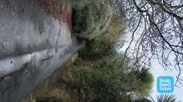
 This walkway is a high use walking area and has become very overgrown but the path is very slippery and is a trip hazard. It’s very dark at
 Roading/Streets —
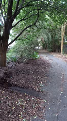
 No barriers on this lovely walkway making all the bark and dirt flow all over the footpath. It needs a big clean up and maintenance.
 Roading/Streets —
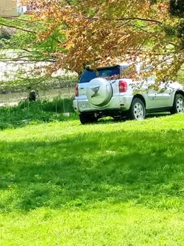
 Car parked inside reserve
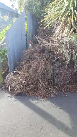 Rubbish/Recycling —
 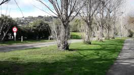 Parks —
Also reported on Fifield Terrace
- 255 Fifield Terrace — 6 reports
- 241 Fifield Terrace — 6 reports
- 231 Fifield Terrace — 5 reports
- 223 Fifield Terrace — 5 reports
- 181 Fifield Terrace — 5 reports
- 177 Fifield Terrace — 5 reports
- 171B Fifield Terrace — 5 reports
- 119 Fifield Terrace — 5 reports
The street’s crash record
NZTA’s record names Fifield Terrace in 5 crashes that hurt somebody since 2006 — 3 seriously hurt, nobody killed.
The green nearby
- Hansen Park — 10 m to the edge · Sports ground · 12 ha
- Fifield Reserve — 288 m to the edge
- Centaurus Park — 385 m to the edge · 1 ha
- King George V Reserve — 401 m to the edge · 1 ha
Parks within half a kilometre, measured to the boundary — the council’s open data.
On the doorstep
- Willows Cafe — 6 m away · Cafés
- Helios Integrative Medical Centre — 15 m away · Doctors & clinics
- Beckford Health — 212 m away · Doctors & clinics
- Bohemian Bakery — 255 m away · Bakeries
Businesses within four hundred metres, measured at the pin — OpenStreetMap and the council directories.
The bus nearby
- Wilsons Rd near Koromiko St — 233 m away · route 27
- Wilsons Rd near Beckford Rd — 257 m away · route 27
The closest Metro stops, within four hundred and fifty metres.
The tracks through here
- Walk and bike track through Opawa — 11 m to the line · walk · bike
- Walk and bike track through Opawa — 59 m to the line · walk · bike
- Walk and bike track through Opawa — 74 m to the line · walk · bike
- Walk and bike track through Opawa — 178 m to the line · walk · bike
- Walk and bike track through Opawa — 203 m to the line · walk · bike
Tracks whose line passes within half a kilometre, measured to the line itself — the council’s open data.
The named ground
Named water within 500 m of this address, measured to the line or the edge; Named places within 1.5 km of this address; the council’s own structure register — bridges, boardwalks and steps standing nearby — the open map’s record.
Renting nearby
new bonds in Opawa ran about $555 a week — about the city median — the suburb page keeps the rent record →.
What was here — Dwelling and Setting, Springbank
121 m away · 290 Riverlaw Terrace · located to ±13 m · the place’s own record →
On the register. Nothing researched here yet.
The civic layer
This ground votes in Heathcote ward — the Spreydon-Cashmere-Heathcote community board. Ward lines don’t always follow suburb lines; this one is measured at the pin, not the suburb’s centre.
What stood on this ground → · On the map → · From the air — the Crown’s aerials back to 1936; search the address on RetroLens →
Questions, answered briefly
14 council reports on record since September 2020 — most often fallen tree (4), roading/streets (2), pavement - damaged (2).
Opawa, Christchurch — on Fifield Terrace.
The heritage register names a place at or beside it — Dwelling and Setting, Springbank.
Hansen Park — 10 m to its edge, 12 ha.