Sumner Croquet Reserve
From the air
Where it sits
Its centre falls inside Sumner, suburb membership is a centroid call, not a claim the whole park lies inside the outline.
More green in Sumner
- Scarborough Hill Reserve, Regional · 217 ha
- Sumnervale Reserve · 9 ha
- St Leonards Park, Sports ground · 2 ha
- Rapanui Bush, Regional · 2 ha
- Wakefield Reserve No. 2 · 1 ha
- Jollies Bush, Regional · 1 ha
- Scarborough Park, Botanic
- Cave Rock Reserve, Regional
What’s built on this ground
No playground is on the register here, the asset layers name none for this ground.
Also on the register: 1 seat (1 bench).
No site tag names this park, these are the register’s pins inside its drawn outline (or within 250 m of its centre), a surveyor’s point, not a boundary.
The plaques on this ground
Inscribed plaques whose pin stands inside the park's drawn outline, the remembered names the register keeps here.
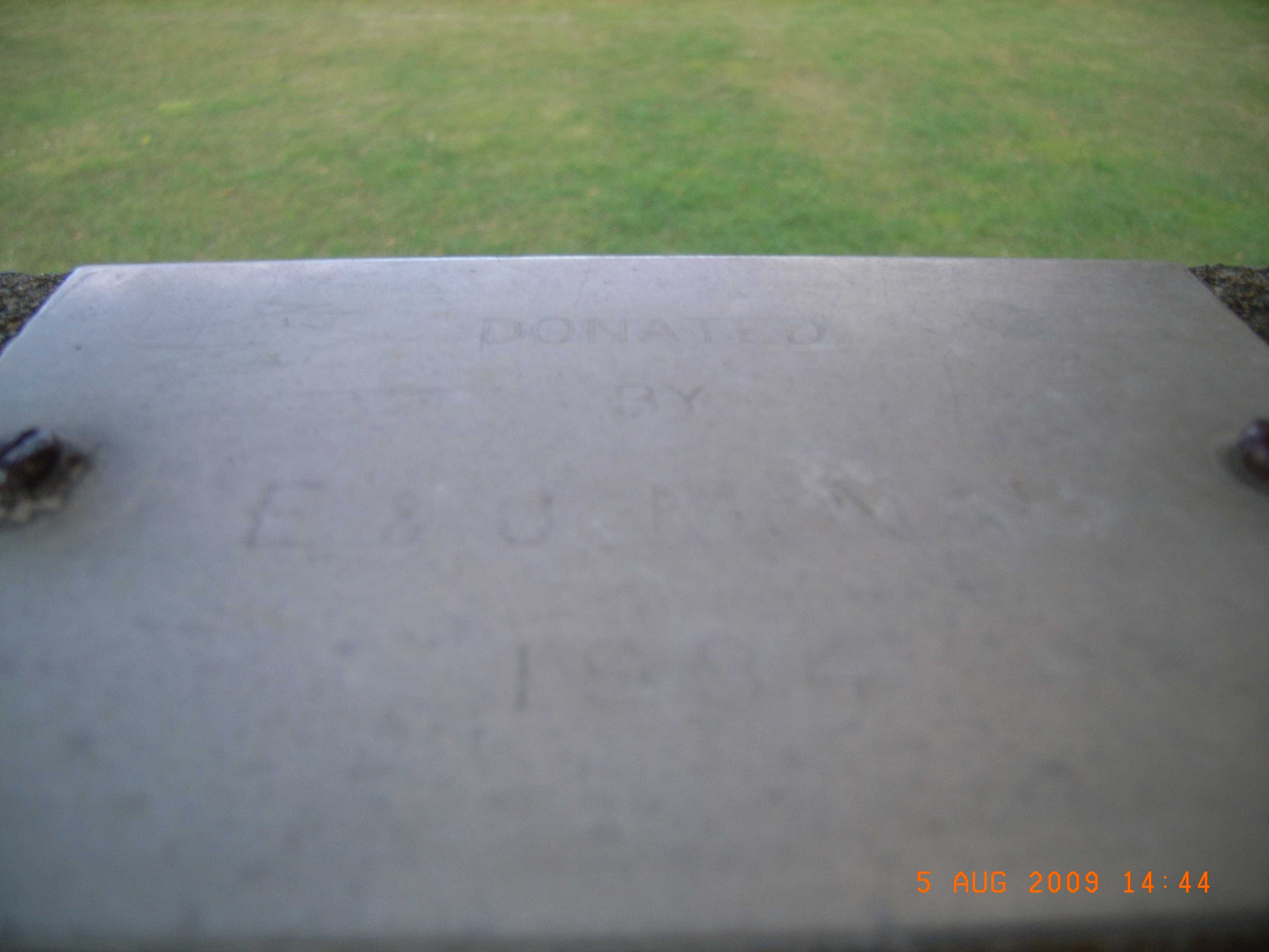 Donated by E & U … · 2000
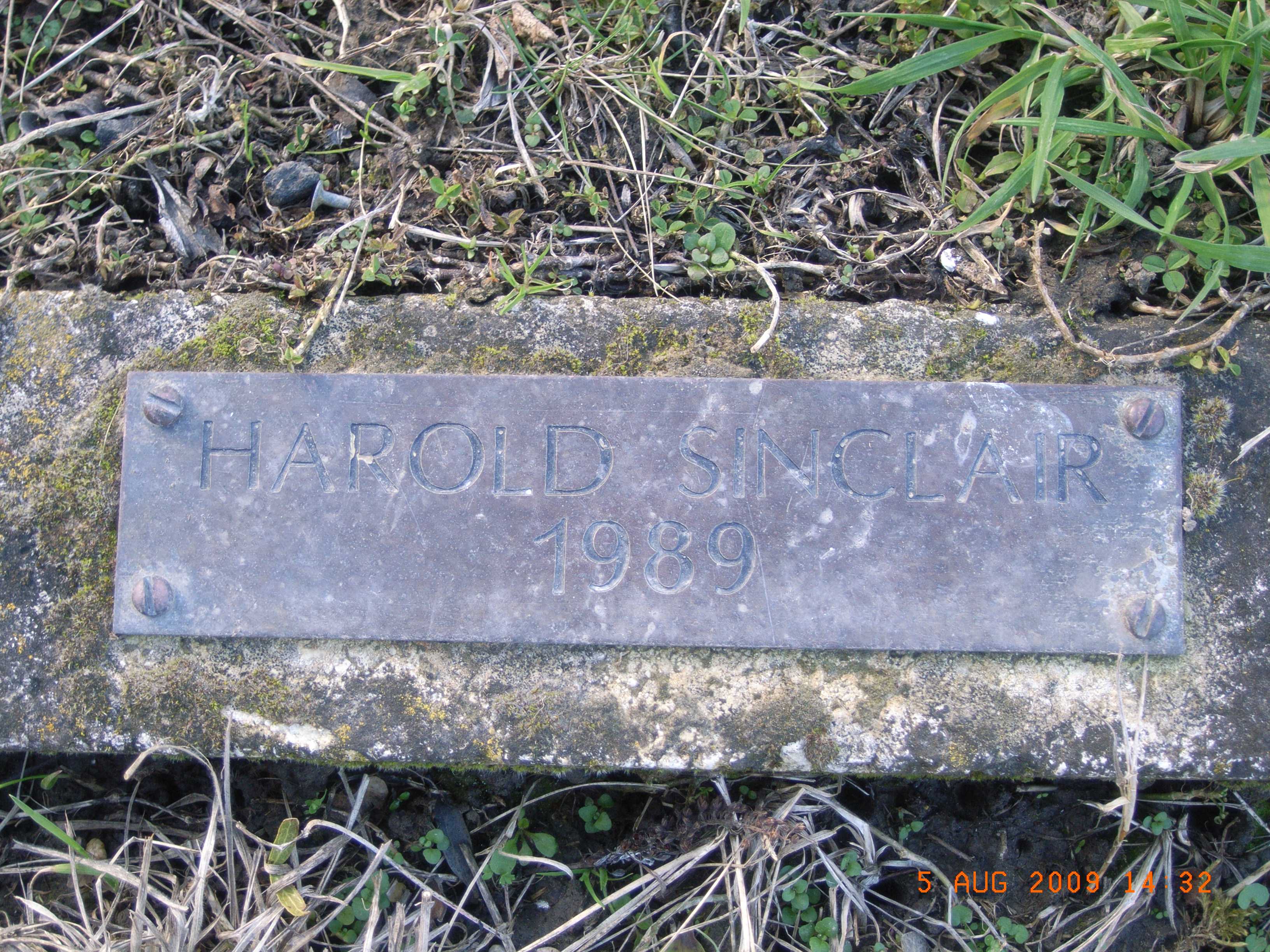 Harold Sinclair 1989 · 2000
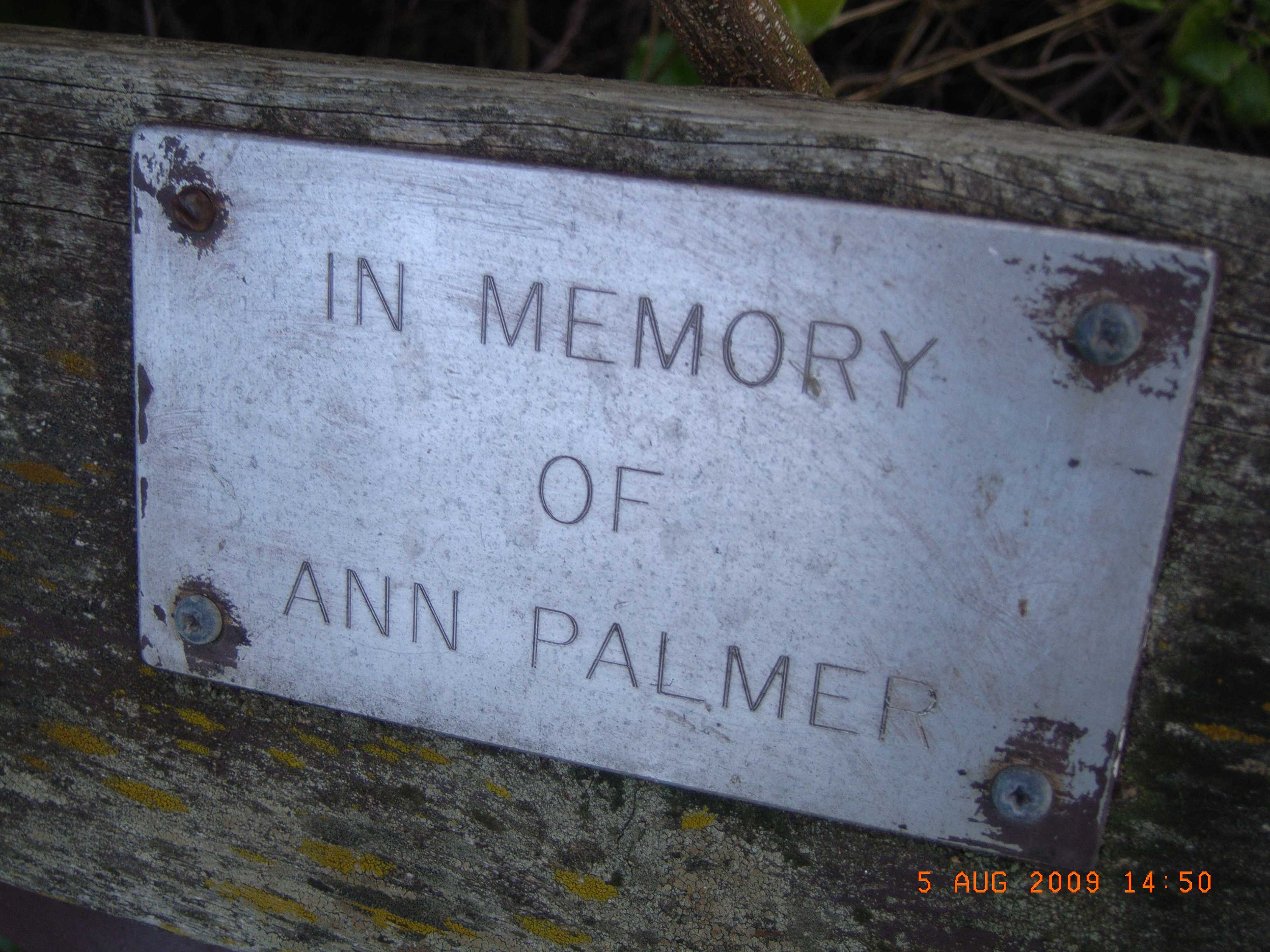 In Memory of Ann Palmer · 2000
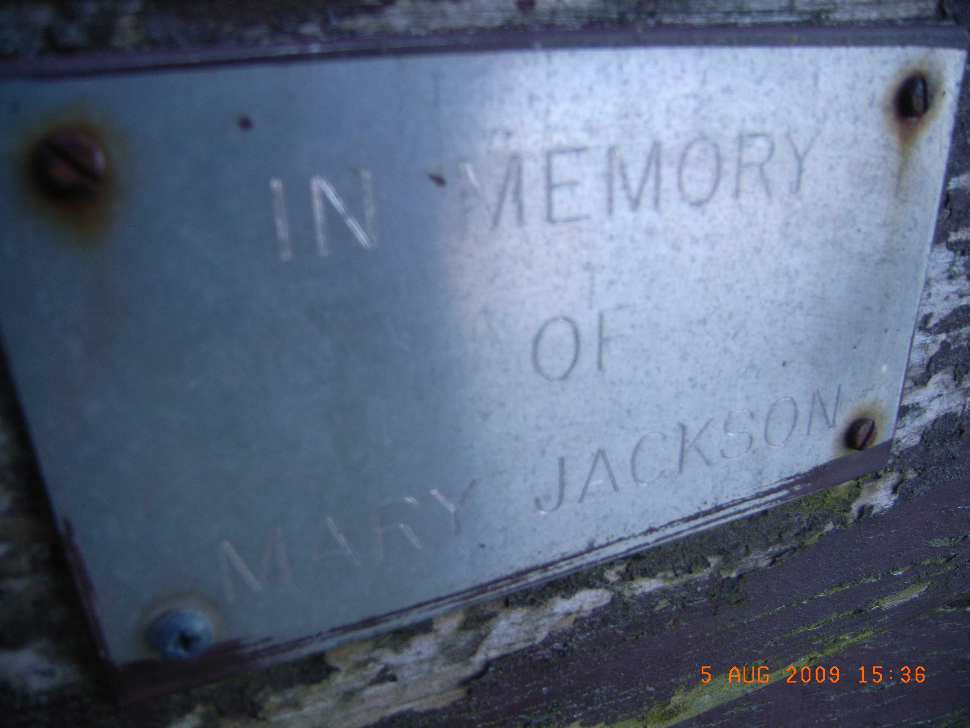 In Memory of Mary Jackson · 2000
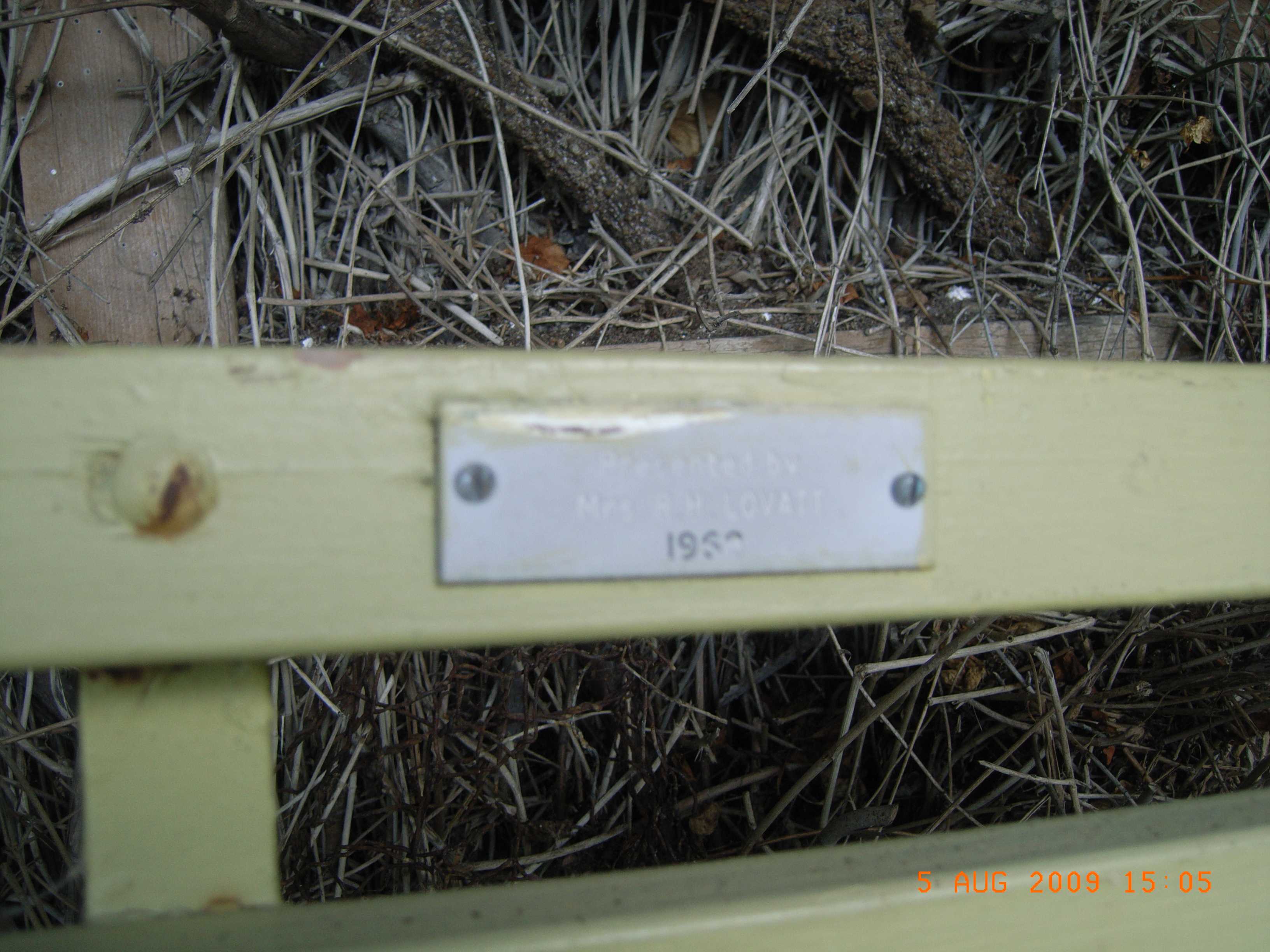 Presented by Mrs A.M. O’Vary 1959 · 2000
The reports on this ground
6 reports pinned inside the park's drawn outline, most often Trees & parks and Roads & footpaths, 3 with a photograph. A pin is where a reporter stood, not a claim about the whole park.
 Park - General Request, 42 Wakefield Avenue, Sumner, Christchurch 8081, New Zealand · 15 January 2026
- Park - General Request, 42 Wakefield Avenue, Sumner, Christchurch 8081, New Zealand · 15 January 2026
 Park - General Request, 42 Wakefield Avenue, Sumner, Christchurch 8081, New Zealand · 4 July 2024
- Vandalism - General, 42 Wakefield Avenue, Sumner, Christchurch, New Zealand · 17 April 2023
- Overgrown Vegetation, 39 Wakefield Avenue, Sumner, Christchurch 8081, New Zealand · 18 March 2023
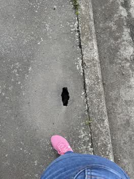 Roading/Streets, 46, Wakefield Avenue, Sumner, Canterbury, 8081, New Zealand · 22 August 2021
Environment Canterbury / Canterbury Maps, Parks layer · refreshed 10 October 2026.
What stood on this ground before → · On the map →
Questions, answered briefly
5,507 m² by the layer’s own polygon.
Its centre falls inside Sumner, a centroid call, not a claim the whole park lies inside the outline.
A park or reserve.
Environment Canterbury’s open Parks layer, kind, size and suburb read straight from it.